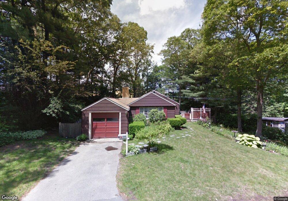
354 Colonel Hunt Dr Abington, MA 02351
Estimated Value: $439,000 - $542,000
3
Beds
1
Bath
1,038
Sq Ft
$481/Sq Ft
Est. Value
About This Home
This home is located at 354 Colonel Hunt Dr, Abington, MA 02351 and is currently estimated at $499,168, approximately $480 per square foot. 354 Colonel Hunt Dr is a home located in Plymouth County with nearby schools including Beaver Brook Elementary School, Abington Middle School, and Woodsdale School.
Ownership History
Date
Name
Owned For
Owner Type
Purchase Details
Closed on
Oct 28, 2005
Sold by
Matthews Lisa C and Kelly Lisa C
Bought by
Hall Stephen
Current Estimated Value
Home Financials for this Owner
Home Financials are based on the most recent Mortgage that was taken out on this home.
Original Mortgage
$130,000
Interest Rate
5.79%
Mortgage Type
Purchase Money Mortgage
Purchase Details
Closed on
Dec 8, 1989
Sold by
Mccarthy Ellen L
Bought by
Kelly Lisa C
Create a Home Valuation Report for This Property
The Home Valuation Report is an in-depth analysis detailing your home's value as well as a comparison with similar homes in the area
Home Values in the Area
Average Home Value in this Area
Purchase History
| Date | Buyer | Sale Price | Title Company |
|---|---|---|---|
| Hall Stephen | $331,500 | -- | |
| Kelly Lisa C | $68,750 | -- |
Source: Public Records
Mortgage History
| Date | Status | Borrower | Loan Amount |
|---|---|---|---|
| Open | Kelly Lisa C | $139,169 | |
| Closed | Kelly Lisa C | $130,000 | |
| Closed | Kelly Lisa C | $86,000 |
Source: Public Records
Tax History Compared to Growth
Tax History
| Year | Tax Paid | Tax Assessment Tax Assessment Total Assessment is a certain percentage of the fair market value that is determined by local assessors to be the total taxable value of land and additions on the property. | Land | Improvement |
|---|---|---|---|---|
| 2025 | $5,438 | $416,400 | $253,500 | $162,900 |
| 2024 | $5,028 | $375,800 | $230,800 | $145,000 |
| 2023 | $5,148 | $362,300 | $210,100 | $152,200 |
| 2022 | $4,854 | $318,900 | $175,700 | $143,200 |
| 2021 | $4,738 | $287,500 | $160,400 | $127,100 |
| 2020 | $4,837 | $284,500 | $161,500 | $123,000 |
| 2019 | $4,431 | $254,800 | $154,900 | $99,900 |
| 2018 | $7,625 | $252,000 | $154,900 | $97,100 |
| 2017 | $4,268 | $232,600 | $154,900 | $77,700 |
| 2016 | $3,821 | $213,100 | $141,400 | $71,700 |
| 2015 | $3,521 | $207,100 | $141,400 | $65,700 |
Source: Public Records
Map
Nearby Homes
- 89 Andrew Ford Way
- 133 Andrew Ford Way
- 10 Bank St
- 676 Bedford St
- 64 Centre Ave Unit 1
- 37 Rockland St
- 1210 Washington St
- 257 Rockland St Unit 257
- 40 Bedford St
- 0 Bedford St
- 20 Cleverly St Unit B2
- 87 Summer St
- 1353 Washington St
- 28 Sylvan Ct
- 209 Hancock St
- 164 Hancock St
- 116 Hancock St
- 158 Central St
- 332 Hancock St
- 29 West St
- 344 Colonel Hunt Dr
- 366 Colonel Hunt Dr
- 333 Colonel Hunt Dr
- 336 Colonel Hunt Dr
- 157 Colonel Hunt Dr
- 185 Colonel Hunt Dr
- 145 Colonel Hunt Dr
- 164 Colonel Hunt Dr
- 311 Colonel Hunt Dr
- 311 Colonel Hunt Dr Unit 1
- 312 Colonel Hunt Dr
- 108 Andrew Ford Way
- 84 Andrew Ford Way
- 140 Colonel Hunt Dr
- 199 Colonel Hunt Dr
- 70 Andrew Ford Way
- 300 Colonel Hunt Dr
- 0 Washington St Unit 1 72206744
- 127 Colonel Hunt Dr
- 290 Colonel Hunt Dr