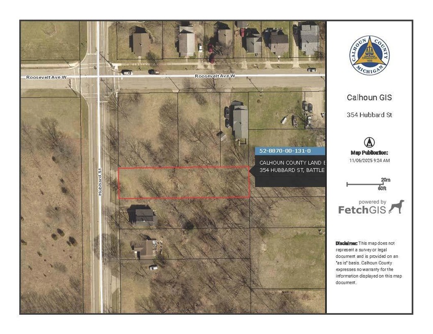
354 Hubbard St Battle Creek, MI 49037
North Central NeighborhoodEstimated payment $16/month
About This Lot
This vacant lot is available thru the Calhoun County Land Bank's Develop This Lot (DTL) program. DTL assists buyers interested in acquiring & developing vacant land for housing, commercial, industrial, or mixed-use projects. Buyer is responsible for checking with the local municipality for building & zoning requirements. All offers will be reviewed on the 1st and 3rd Friday of each month. As per the seller's request, offers that do not include proof of funds & preliminary questionnaire will Not be submitted for consideration.
Listing Agent
Coldwell Banker Morehart Realty License #6501385948 Listed on: 11/14/2025

Property Details
Property Type
- Land
Lot Details
- 0.28 Acre Lot
- Lot Dimensions are 54 x 230
- Property is zoned R1B, R1B
Map
Home Values in the Area
Average Home Value in this Area
Tax History
| Year | Tax Paid | Tax Assessment Tax Assessment Total Assessment is a certain percentage of the fair market value that is determined by local assessors to be the total taxable value of land and additions on the property. | Land | Improvement |
|---|---|---|---|---|
| 2025 | -- | $0 | $0 | $0 |
| 2024 | -- | $0 | $0 | $0 |
| 2023 | -- | $0 | $0 | $0 |
| 2022 | $0 | $0 | $0 | $0 |
| 2021 | $0 | $0 | $0 | $0 |
| 2020 | $0 | $0 | $0 | $0 |
| 2019 | $0 | $0 | $0 | $0 |
| 2018 | $0 | $0 | $0 | $0 |
| 2017 | -- | $4,585 | $0 | $0 |
| 2016 | -- | $4,585 | $0 | $0 |
| 2015 | $828 | $4,585 | $4,585 | $0 |
| 2014 | $828 | $12,881 | $4,585 | $8,296 |
Property History
| Date | Event | Price | List to Sale | Price per Sq Ft |
|---|---|---|---|---|
| 11/14/2025 11/14/25 | For Sale | $2,500 | -- | -- |
Purchase History
| Date | Type | Sale Price | Title Company |
|---|---|---|---|
| Quit Claim Deed | -- | None Available | |
| Sheriffs Deed | $33,629 | None Available | |
| Warranty Deed | $20,000 | -- | |
| Warranty Deed | $19,000 | -- | |
| Deed | $20,000 | -- | |
| Deed | -- | -- | |
| Deed | -- | -- |
Source: MichRIC
MLS Number: 25058359
APN: 8870-00-131-0
Disclaimer: Certain information contained herein is derived from information provided by parties other than Homes.com. All information provided is deemed reliable, but is not guaranteed to be accurate and should be independently verified.
![]() Information is deemed reliable but not guaranteed.
Information is deemed reliable but not guaranteed.
Copyright 2025 MichRIC, LLC. All rights reserved.
- V/L Roseneath Ave Unit 147
- V/L Roseneath Ave Unit 114
- 168 Roosevelt Ave W
- 166 Roosevelt Ave W
- 168 Roseneath Ave
- 398 Wood St N
- 205 W Roosevelt Ave
- 178 Oneita St
- 226 Oneita St
- 436 Hubbard St
- 220 Oneita St
- 264 Hubbard St
- 119 Oneita St
- 311 Kendall St N
- 109 Oneita St
- 258 Wood St N
- 162 Helen M Montgomery Ave
- 242 Hubbard St
- 199 Helen M Montgomery Ave
- 5 Beglin Ct
- 511 North Ave
- 115 West St
- 1317 Michigan Ave W Unit 9
- 1317 Michigan Ave W Unit 1
- 180 Carl Ave
- 25 W Michigan Ave
- 572 Limewood Dr
- 600 Garrison Rd
- 120 Riverside Dr
- 155 Kirkwood Ave
- 45 Stringham Rd
- 695 Capital Ave NE Unit 24
- 719 Avenue A
- 795 Wagner Dr
- 595 Wagner Dr Unit 21
- 595 Wagner Dr Unit 3
- 595 Wagner Dr Unit 19
- 595 Wagner Dr Unit 6
- 595 Wagner Dr Unit 13
- 685 Michigan Ave E Unit 110