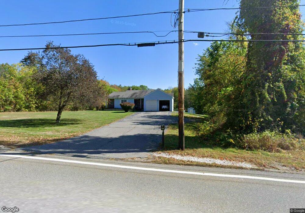
354 Lancaster St West Boylston, MA 01583
Estimated Value: $532,000 - $572,356
2
Beds
3
Baths
1,434
Sq Ft
$383/Sq Ft
Est. Value
About This Home
This home is located at 354 Lancaster St, West Boylston, MA 01583 and is currently estimated at $549,339, approximately $383 per square foot. 354 Lancaster St is a home located in Worcester County with nearby schools including Major Edwards Elementary School and West Boylston Junior/Senior High School.
Ownership History
Date
Name
Owned For
Owner Type
Purchase Details
Closed on
Jun 21, 2018
Sold by
Jendrzejewski Jonathan R
Bought by
Jendrzejewski Rt
Current Estimated Value
Purchase Details
Closed on
May 26, 1998
Sold by
Symonowicz William M and Symonowicz Lillian B
Bought by
Jendrzejewski Robert and Jendrzejewski Bette P
Home Financials for this Owner
Home Financials are based on the most recent Mortgage that was taken out on this home.
Original Mortgage
$100,000
Interest Rate
7.03%
Mortgage Type
Purchase Money Mortgage
Create a Home Valuation Report for This Property
The Home Valuation Report is an in-depth analysis detailing your home's value as well as a comparison with similar homes in the area
Home Values in the Area
Average Home Value in this Area
Purchase History
| Date | Buyer | Sale Price | Title Company |
|---|---|---|---|
| Jendrzejewski Rt | -- | -- | |
| Jendrzejewski Jonathan R | -- | -- | |
| Jendrzejewski Robert | $152,500 | -- |
Source: Public Records
Mortgage History
| Date | Status | Borrower | Loan Amount |
|---|---|---|---|
| Previous Owner | Jendrzejewski Robert | $25,000 | |
| Previous Owner | Jendrzejewski Robert | $100,000 |
Source: Public Records
Tax History Compared to Growth
Tax History
| Year | Tax Paid | Tax Assessment Tax Assessment Total Assessment is a certain percentage of the fair market value that is determined by local assessors to be the total taxable value of land and additions on the property. | Land | Improvement |
|---|---|---|---|---|
| 2025 | $76 | $545,900 | $122,300 | $423,600 |
| 2024 | $7,381 | $499,400 | $122,300 | $377,100 |
| 2023 | $7,242 | $464,800 | $120,500 | $344,300 |
| 2022 | $6,867 | $388,400 | $120,500 | $267,900 |
| 2021 | $3,338 | $353,700 | $107,400 | $246,300 |
| 2020 | $6,393 | $344,100 | $107,400 | $236,700 |
| 2019 | $6,006 | $318,600 | $107,400 | $211,200 |
| 2018 | $2,929 | $298,800 | $107,400 | $191,400 |
| 2017 | $4,927 | $262,100 | $107,400 | $154,700 |
| 2016 | $4,860 | $263,400 | $99,900 | $163,500 |
| 2015 | $4,655 | $253,800 | $99,000 | $154,800 |
Source: Public Records
Map
Nearby Homes
- 136 Sterling St Unit A3
- 21 Myrtle Ave
- 101 Sterling St
- 2 Lakeview Ave
- 12 Winthrop St
- 20 Winthrop St
- 16 N Main St
- 0 Boutelle Rd
- 112 N Main St
- 26 Townsend Dr
- 1 Harmony Ln Unit 4
- 2 Harmony Ln Unit 1
- 223 Worcester Rd
- 19 Fitch Farm Rd
- 113 Newton St
- 61 Boutelle Rd
- 152 Worcester St Unit 8
- 6 Belmont Dr
- 20 Woodside Dr
- 53 Beach Point Rd
- 351 Lancaster St
- 330 Lancaster St
- 335 Lancaster St
- 1 Campground Rd
- 357 Lancaster St
- 11 Campground Rd
- 17 Campground Rd
- 371 Lancaster St Unit 12
- 371 Lancaster St Unit 11
- 371 Lancaster St Unit 10
- 371 Lancaster St Unit 9
- 371 Lancaster St Unit 8
- 371 Lancaster St Unit 7
- 371 Lancaster St Unit 6
- 371 Lancaster St Unit 5
- 371 Lancaster St Unit 4
- 371 Lancaster St Unit 3
- 371 Lancaster St Unit 2
- 371 Lancaster St Unit 1
- 371 Lancaster St Unit 371