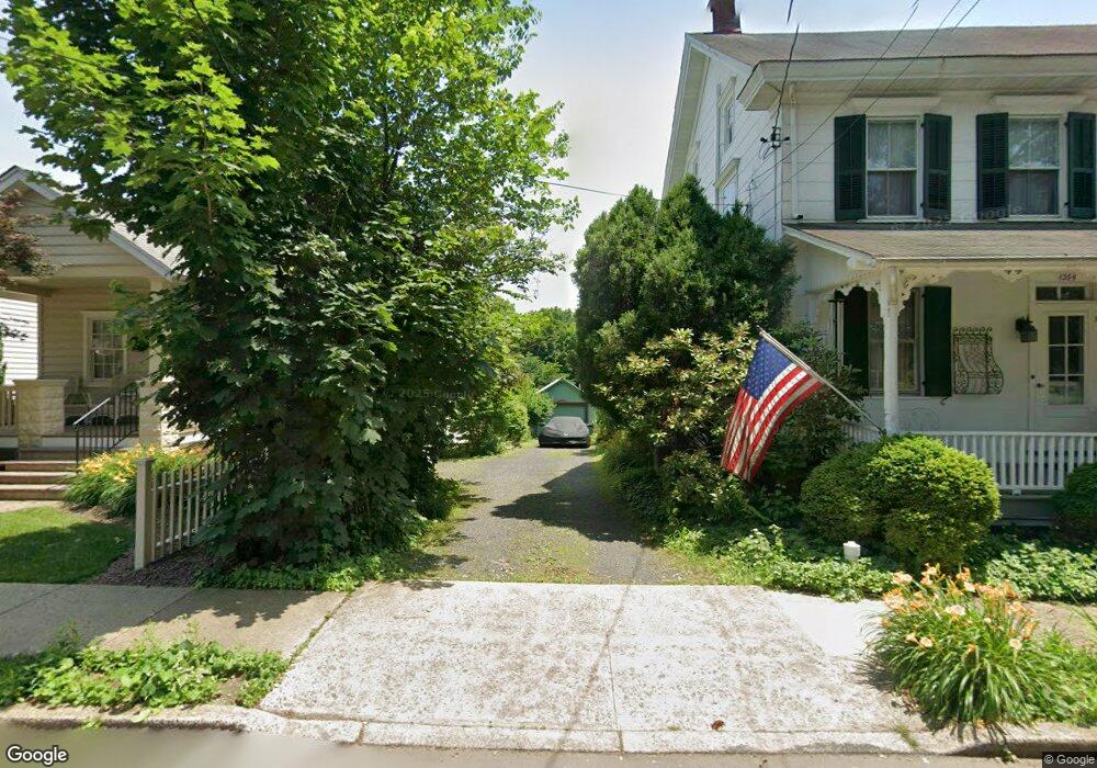
354 Linden Ave Doylestown, PA 18901
Estimated Value: $486,000 - $618,106
2
Beds
2
Baths
1,024
Sq Ft
$516/Sq Ft
Est. Value
About This Home
This home is located at 354 Linden Ave, Doylestown, PA 18901 and is currently estimated at $528,777, approximately $516 per square foot. 354 Linden Ave is a home located in Bucks County with nearby schools including Linden El School, Lenape Middle School, and Central Bucks High School-West.
Ownership History
Date
Name
Owned For
Owner Type
Purchase Details
Closed on
Oct 6, 2009
Sold by
Mcgrath Frederic J
Bought by
Mcgrath Frederic J and Mcgrath Linda M
Current Estimated Value
Purchase Details
Closed on
Oct 6, 1995
Sold by
Bent Arthur J and Bent Peter W
Bought by
Mcgrath Frederic J
Home Financials for this Owner
Home Financials are based on the most recent Mortgage that was taken out on this home.
Original Mortgage
$114,800
Outstanding Balance
$814
Interest Rate
7.71%
Mortgage Type
VA
Estimated Equity
$527,963
Create a Home Valuation Report for This Property
The Home Valuation Report is an in-depth analysis detailing your home's value as well as a comparison with similar homes in the area
Home Values in the Area
Average Home Value in this Area
Purchase History
| Date | Buyer | Sale Price | Title Company |
|---|---|---|---|
| Mcgrath Frederic J | -- | None Available | |
| Mcgrath Frederic J | $111,500 | -- |
Source: Public Records
Mortgage History
| Date | Status | Borrower | Loan Amount |
|---|---|---|---|
| Open | Mcgrath Frederic J | $114,800 |
Source: Public Records
Tax History Compared to Growth
Tax History
| Year | Tax Paid | Tax Assessment Tax Assessment Total Assessment is a certain percentage of the fair market value that is determined by local assessors to be the total taxable value of land and additions on the property. | Land | Improvement |
|---|---|---|---|---|
| 2025 | $3,241 | $17,990 | $4,280 | $13,710 |
| 2024 | $3,241 | $17,990 | $4,280 | $13,710 |
| 2023 | $3,088 | $17,990 | $4,280 | $13,710 |
| 2022 | $3,045 | $17,990 | $4,280 | $13,710 |
| 2021 | $3,011 | $17,990 | $4,280 | $13,710 |
| 2020 | $2,978 | $17,990 | $4,280 | $13,710 |
| 2019 | $2,945 | $17,990 | $4,280 | $13,710 |
| 2018 | $2,909 | $17,990 | $4,280 | $13,710 |
| 2017 | $2,879 | $17,990 | $4,280 | $13,710 |
| 2016 | $2,688 | $16,800 | $4,280 | $12,520 |
| 2015 | -- | $16,800 | $4,280 | $12,520 |
| 2014 | -- | $16,800 | $4,280 | $12,520 |
Source: Public Records
Map
Nearby Homes
- 339 E Ashland St
- 121 Cottage St
- 466 Linden Ave
- 284 E Court St
- 155 E Oakland Ave
- 505 E State St
- 146 E Court St
- 1 Barnes Ct
- 110 E Ashland St
- 146 N Church St
- 69 E Oakland Ave
- 20 E Court St
- 226 N Main St
- 0 000 Rd E
- 236 Green St
- 418 North St
- 89 Homestead Dr
- 37 N Clinton St
- 123 S Franklin St
- 130 N Clinton St