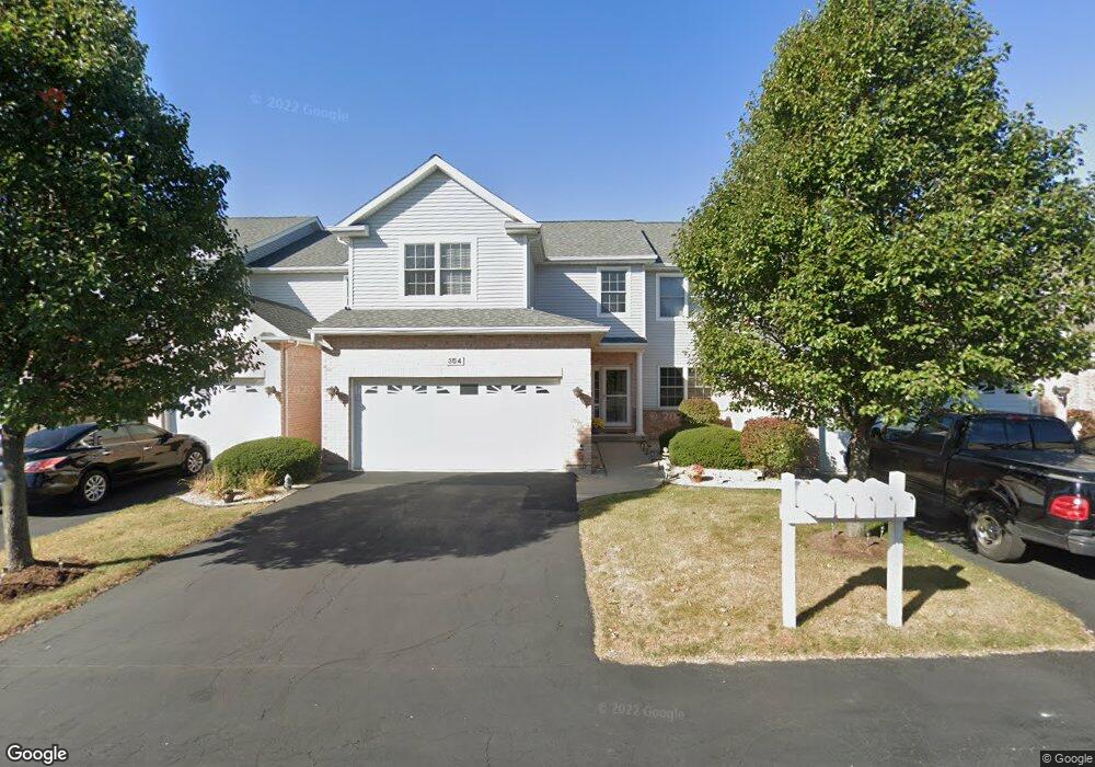
354 Manning Dr Dekalb, IL 60115
Estimated Value: $241,281 - $273,000
Studio
--
Bath
--
Sq Ft
16,553
Sq Ft Lot
About This Home
This home is located at 354 Manning Dr, Dekalb, IL 60115 and is currently estimated at $261,070. 354 Manning Dr is a home located in DeKalb County with nearby schools including Lincoln Elementary School, Huntley Middle School, and De Kalb High School.
Ownership History
Date
Name
Owned For
Owner Type
Purchase Details
Closed on
Jul 14, 2005
Sold by
J P 2 Corp
Bought by
Oleary Sheila M
Current Estimated Value
Home Financials for this Owner
Home Financials are based on the most recent Mortgage that was taken out on this home.
Original Mortgage
$133,057
Outstanding Balance
$67,609
Interest Rate
5.25%
Mortgage Type
New Conventional
Estimated Equity
$193,461
Create a Home Valuation Report for This Property
The Home Valuation Report is an in-depth analysis detailing your home's value as well as a comparison with similar homes in the area
Home Values in the Area
Average Home Value in this Area
Purchase History
| Date | Buyer | Sale Price | Title Company |
|---|---|---|---|
| Oleary Sheila M | $164,500 | -- |
Source: Public Records
Mortgage History
| Date | Status | Borrower | Loan Amount |
|---|---|---|---|
| Open | Oleary Sheila M | $133,057 |
Source: Public Records
Tax History
| Year | Tax Paid | Tax Assessment Tax Assessment Total Assessment is a certain percentage of the fair market value that is determined by local assessors to be the total taxable value of land and additions on the property. | Land | Improvement |
|---|---|---|---|---|
| 2024 | $5,391 | $72,570 | $3,264 | $69,306 |
| 2023 | $5,232 | $63,275 | $2,846 | $60,429 |
| 2022 | $5,232 | $57,769 | $3,247 | $54,522 |
| 2021 | $5,332 | $54,182 | $3,045 | $51,137 |
| 2020 | $5,441 | $53,318 | $2,996 | $50,322 |
| 2019 | $5,307 | $51,223 | $2,878 | $48,345 |
| 2018 | $5,158 | $49,486 | $2,780 | $46,706 |
| 2017 | $5,178 | $47,569 | $2,672 | $44,897 |
| 2016 | $5,101 | $46,369 | $2,605 | $43,764 |
| 2015 | -- | $43,935 | $2,468 | $41,467 |
| 2014 | -- | $40,105 | $2,750 | $37,355 |
| 2013 | -- | $42,127 | $2,889 | $39,238 |
Source: Public Records
Map
Nearby Homes
- 340 Manning Dr
- TBD 8.67 Acres Fairview Dr
- 527 Fairlane Ave
- TBD Peace Rd
- 18.6 Acre Lot Fairview Dr
- TBD Fairview Dr
- 216 Pardridge Place
- 623 Colonial Dr
- 255 Bent Grass Cir
- 253 Bent Grass Cir
- 1205 S 1st St
- Lot 66 Pebble Beach Ct
- Lot 77 Pebble Beach Ct
- Lot 78 Pebble Beach Ct
- 235 Saint Andrews Dr
- 532 - 534 College Ave
- 100 Warren Place
- 925 Haish Blvd
- 1212 Bellevue Dr
- 844 S 7th St
- 356 Manning Dr
- 352 Manning Dr
- 358 Manning Dr
- 360 Manning Dr
- 350 Manning Dr
- 350 Manning Dr Unit 1
- 348 Manning Dr
- 348 Manning Dr Unit 348
- 346 Manning Dr
- 370 Manning Dr
- 372 Manning Dr
- 372 Manning Dr Unit 3337
- 344 Manning Dr
- 364 Manning Dr
- 374 Manning Dr
- 366 Manning Dr
- 368 Manning Dr
- 338 Manning Dr
- 390 Manning Dr
- 336 Manning Dr
Your Personal Tour Guide
Ask me questions while you tour the home.