Estimated Value: $314,785 - $414,000
4
Beds
2
Baths
1,888
Sq Ft
$192/Sq Ft
Est. Value
About This Home
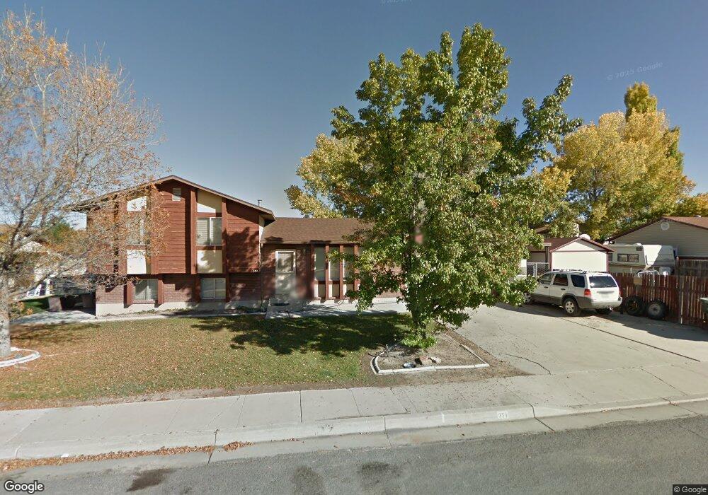
This home is located at 354 N 1230 W, Price, UT 84501 and is currently estimated at $362,946, approximately $192 per square foot. 354 N 1230 W is a home located in Carbon County with nearby schools including Creekview School, Mont Harmon Junior High School, and Carbon High School.
Ownership History
Date
Name
Owned For
Owner Type
Purchase Details
Closed on
Nov 21, 2017
Sold by
Atwood Angela
Bought by
Johnson Tait K and Johnson Brielle C
Current Estimated Value
Home Financials for this Owner
Home Financials are based on the most recent Mortgage that was taken out on this home.
Original Mortgage
$174,775
Outstanding Balance
$151,527
Interest Rate
5.25%
Mortgage Type
FHA
Estimated Equity
$211,419
Purchase Details
Closed on
Jan 14, 2015
Sold by
Brinkerhoff Lori D
Bought by
Atwood Angela
Home Financials for this Owner
Home Financials are based on the most recent Mortgage that was taken out on this home.
Original Mortgage
$143,100
Interest Rate
3.82%
Mortgage Type
New Conventional
Create a Home Valuation Report for This Property
The Home Valuation Report is an in-depth analysis detailing your home's value as well as a comparison with similar homes in the area
Home Values in the Area
Average Home Value in this Area
Purchase History
| Date | Buyer | Sale Price | Title Company |
|---|---|---|---|
| Johnson Tait K | -- | South Eastern Utah Title Co | |
| Atwood Angela | -- | None Available |
Source: Public Records
Mortgage History
| Date | Status | Borrower | Loan Amount |
|---|---|---|---|
| Open | Johnson Tait K | $174,775 | |
| Previous Owner | Atwood Angela | $143,100 |
Source: Public Records
Tax History Compared to Growth
Tax History
| Year | Tax Paid | Tax Assessment Tax Assessment Total Assessment is a certain percentage of the fair market value that is determined by local assessors to be the total taxable value of land and additions on the property. | Land | Improvement |
|---|---|---|---|---|
| 2024 | $1,712 | $134,854 | $24,365 | $110,489 |
| 2023 | $1,737 | $147,754 | $38,192 | $109,562 |
| 2022 | $1,783 | $134,295 | $38,192 | $96,103 |
| 2021 | $1,648 | $196,913 | $56,000 | $140,913 |
| 2020 | $1,474 | $88,286 | $0 | $0 |
| 2019 | $1,100 | $80,598 | $0 | $0 |
| 2018 | $1,070 | $80,598 | $0 | $0 |
| 2017 | $1,299 | $99,276 | $0 | $0 |
| 2016 | $1,162 | $99,276 | $0 | $0 |
| 2015 | $1,162 | $99,276 | $0 | $0 |
| 2014 | $1,144 | $99,276 | $0 | $0 |
| 2013 | $1,154 | $99,276 | $0 | $0 |
Source: Public Records
Map
Nearby Homes
- 1189 W 290 N
- 420 N Josephine Ln W
- 401 N Fairgrounds Rd
- 126 N Balsam Way
- 1511 W Gordon Creek Rd
- 109 N 1470 (Balsam Way) W
- 702 W 1150 N Unit 4
- 670 W 1150 N
- 275 N 500 W
- 2 Hilltop
- 198 N 400 W
- 495 S Fairgrounds Rd
- 1643 N Mountain States Rd
- 240 N Carbon Ave
- 280 W 500 S
- 260 W 500 S
- 175 N 100 E
- 7700 Us Highway 6
- 320 N 100 E
- 126 E 400 N