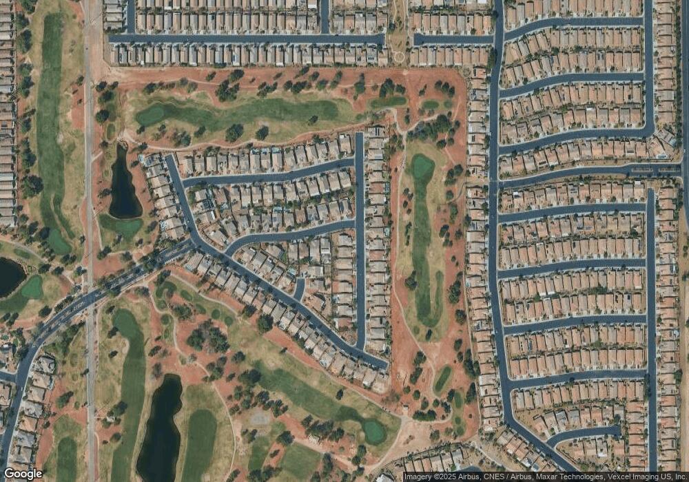
3543 Driving Range St Unit 1 Las Vegas, NV 89122
Estimated Value: $394,508 - $413,000
3
Beds
2
Baths
1,622
Sq Ft
$250/Sq Ft
Est. Value
About This Home
This home is located at 3543 Driving Range St Unit 1, Las Vegas, NV 89122 and is currently estimated at $405,127, approximately $249 per square foot. 3543 Driving Range St Unit 1 is a home located in Clark County with nearby schools including Cynthia Cunningham Elementary School, Kathleen & Tim Harney Middle School, and Chaparral High School.
Ownership History
Date
Name
Owned For
Owner Type
Purchase Details
Closed on
Jan 7, 2002
Sold by
William Lyon Homes Inc
Bought by
Cavero Agustin A and Cavero Virginia R
Current Estimated Value
Home Financials for this Owner
Home Financials are based on the most recent Mortgage that was taken out on this home.
Original Mortgage
$129,000
Interest Rate
7.11%
Mortgage Type
Purchase Money Mortgage
Create a Home Valuation Report for This Property
The Home Valuation Report is an in-depth analysis detailing your home's value as well as a comparison with similar homes in the area
Home Values in the Area
Average Home Value in this Area
Purchase History
| Date | Buyer | Sale Price | Title Company |
|---|---|---|---|
| Cavero Agustin A | $172,315 | Fidelity National Title |
Source: Public Records
Mortgage History
| Date | Status | Borrower | Loan Amount |
|---|---|---|---|
| Closed | Cavero Agustin A | $129,000 |
Source: Public Records
Tax History Compared to Growth
Tax History
| Year | Tax Paid | Tax Assessment Tax Assessment Total Assessment is a certain percentage of the fair market value that is determined by local assessors to be the total taxable value of land and additions on the property. | Land | Improvement |
|---|---|---|---|---|
| 2025 | $2,221 | $97,399 | $26,950 | $70,449 |
| 2024 | $2,057 | $97,399 | $26,950 | $70,449 |
| 2023 | $2,057 | $97,181 | $30,450 | $66,731 |
| 2022 | $1,905 | $86,794 | $25,900 | $60,894 |
| 2021 | $1,764 | $82,388 | $24,500 | $57,888 |
| 2020 | $1,635 | $79,347 | $22,050 | $57,297 |
| 2019 | $1,532 | $78,449 | $22,050 | $56,399 |
| 2018 | $1,462 | $70,090 | $15,750 | $54,340 |
| 2017 | $2,065 | $70,238 | $15,400 | $54,838 |
| 2016 | $1,370 | $60,150 | $10,850 | $49,300 |
| 2015 | $1,366 | $51,923 | $10,850 | $41,073 |
| 2014 | $1,326 | $43,698 | $7,000 | $36,698 |
Source: Public Records
Map
Nearby Homes
- 5926 Terra Grande Ave
- 5968 Pavilion Lakes Ave
- 3562 Driving Range St
- 3591 Driving Range St
- 5829 Swan Point Place
- 5969 Swan Point Place Unit 1
- 5963 Crossfield Ave
- 3447 Halter Dr
- 6092 Fox Creek Ave
- 3385 Blue Ribbon Downs St
- 6085 Majestic Wind Ave
- 3490 Old Course St
- 6128 Isola Peak Ave
- 6094 Majestic Wind Ave
- 3354 Blue Ribbon Downs St
- 3306 American Mustang Ct
- 3735 Halter Dr
- 3520 Tack St
- 5977 Falconer Ave
- 5935 Saddle Horse Ave
- 3551 Driving Range St Unit 1
- 5955 Terra Grande Ave
- 3559 Driving Range St Unit 1
- 5966 Terra Grande Ave
- 5949 Terra Grande Ave
- 5974 Terra Grande Ave Unit 1
- 5958 Terra Grande Ave
- 3538 Driving Range St Unit 1
- 3546 Driving Range St
- 3567 Driving Range St
- 3530 Driving Range St
- 5950 Terra Grande Ave Unit 1
- 3554 Driving Range St
- 5943 Terra Grande Ave
- 3522 Driving Range St
- 5928 Swan Point Place
- 3562 Driving Range St Unit n/a
- 5942 Terra Grande Ave
- 3575 Driving Range St
- 3514 Driving Range St
