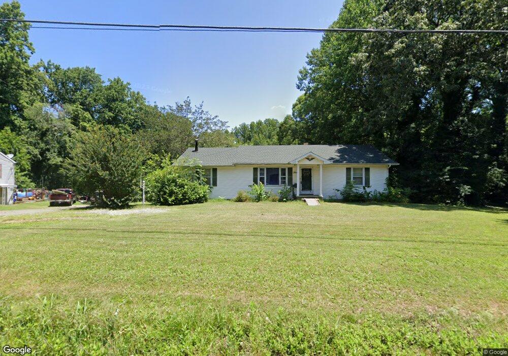
3543 High Point Rd Winston Salem, NC 27107
Estimated Value: $175,120 - $203,000
3
Beds
2
Baths
2,652
Sq Ft
$71/Sq Ft
Est. Value
About This Home
This home is located at 3543 High Point Rd, Winston Salem, NC 27107 and is currently estimated at $188,780, approximately $71 per square foot. 3543 High Point Rd is a home located in Forsyth County with nearby schools including Hall-Woodward Elementary School, Philo-Hill Magnet Academy, and R.B. Glenn High School.
Ownership History
Date
Name
Owned For
Owner Type
Purchase Details
Closed on
Feb 13, 2017
Sold by
Marion Ronald R and Marion Linda H
Bought by
Poteat Elizabeth Ashley Marion
Current Estimated Value
Purchase Details
Closed on
Mar 8, 1999
Sold by
Marion Royce R and Marion Betty A
Bought by
Marion Ronald R and Marion Linda H
Home Financials for this Owner
Home Financials are based on the most recent Mortgage that was taken out on this home.
Original Mortgage
$50,000
Interest Rate
6.43%
Mortgage Type
Seller Take Back
Create a Home Valuation Report for This Property
The Home Valuation Report is an in-depth analysis detailing your home's value as well as a comparison with similar homes in the area
Home Values in the Area
Average Home Value in this Area
Purchase History
| Date | Buyer | Sale Price | Title Company |
|---|---|---|---|
| Poteat Elizabeth Ashley Marion | -- | None Available | |
| Marion Ronald R | $50,000 | -- |
Source: Public Records
Mortgage History
| Date | Status | Borrower | Loan Amount |
|---|---|---|---|
| Previous Owner | Marion Ronald R | $50,000 |
Source: Public Records
Tax History Compared to Growth
Tax History
| Year | Tax Paid | Tax Assessment Tax Assessment Total Assessment is a certain percentage of the fair market value that is determined by local assessors to be the total taxable value of land and additions on the property. | Land | Improvement |
|---|---|---|---|---|
| 2025 | $1,104 | $211,100 | $28,500 | $182,600 |
| 2024 | $1,054 | $78,700 | $17,500 | $61,200 |
| 2023 | $1,054 | $78,700 | $17,500 | $61,200 |
| 2022 | $1,034 | $78,700 | $17,500 | $61,200 |
| 2021 | $1,015 | $78,700 | $17,500 | $61,200 |
| 2020 | $1,036 | $75,000 | $16,000 | $59,000 |
| 2019 | $1,043 | $75,000 | $16,000 | $59,000 |
| 2018 | $991 | $75,000 | $16,000 | $59,000 |
| 2016 | $779 | $59,224 | $9,600 | $49,624 |
| 2015 | $767 | $59,224 | $9,600 | $49,624 |
| 2014 | $744 | $59,224 | $9,600 | $49,624 |
Source: Public Records
Map
Nearby Homes
- 3514 Landis St SE
- 3520 Landis St SE
- 3532 Landis St SE
- 3538 Landis St SE
- 3544 Landis St SE
- 3422 Robindale Dr
- 3428 Robindale Dr
- 421 Robindale Ct
- 3458 Robindale Dr
- 3435 Robindale Dr
- 3598 Robindale Dr
- 3441 Robindale Dr
- 3447 Robindale Dr
- 3453 Robindale Dr
- 3471 Robindale Dr
- Ashe Plan at Robindale
- Erie Plan at Robindale
- Camden Plan at Robindale
- Durham Plan at Robindale
- Avery Plan at Robindale
- 3533 High Point Rd
- 0 High Point Rd
- 3557 High Point Rd
- 3525 High Point Rd
- 3534 High Point Rd
- 3554 High Point Rd
- 3519 High Point Rd
- 3425 Lubet Ln
- 3511 High Point Rd
- 3427 Lubet Ln
- 3415 Lubet Ln
- 144 Wayside Dr
- 3500 High Point Rd
- 160 Wayside Dr
- 3440 High Point Rd
- 3422 Lubet Ln
- 3597 High Point Rd
- 3420 Lubet Ln
- 176 Wayside Dr
- 3404 Lubet Ln