3545 Aubusson Trace Unit I Alpharetta, GA 30022
Estimated Value: $798,568 - $952,000
4
Beds
3
Baths
3,568
Sq Ft
$245/Sq Ft
Est. Value
About This Home
This home is located at 3545 Aubusson Trace Unit I, Alpharetta, GA 30022 and is currently estimated at $874,642, approximately $245 per square foot. 3545 Aubusson Trace Unit I is a home located in Fulton County with nearby schools including Barnwell Elementary School, Autrey Mill Middle School, and Johns Creek High School.
Ownership History
Date
Name
Owned For
Owner Type
Purchase Details
Closed on
Jun 30, 2014
Sold by
Flood Stacy
Bought by
Hyun Eugene and Hyun Cynthia K
Current Estimated Value
Home Financials for this Owner
Home Financials are based on the most recent Mortgage that was taken out on this home.
Original Mortgage
$344,000
Outstanding Balance
$262,124
Interest Rate
4.17%
Mortgage Type
New Conventional
Estimated Equity
$612,519
Purchase Details
Closed on
Jun 4, 1998
Sold by
Badke Kenneth A and Badke Janice
Bought by
Flood Timothy P and Flood Stacey
Purchase Details
Closed on
Aug 25, 1995
Sold by
Niebanck Carol M
Bought by
Badke Kenneth A Janice H
Create a Home Valuation Report for This Property
The Home Valuation Report is an in-depth analysis detailing your home's value as well as a comparison with similar homes in the area
Home Values in the Area
Average Home Value in this Area
Purchase History
| Date | Buyer | Sale Price | Title Company |
|---|---|---|---|
| Hyun Eugene | $430,000 | -- | |
| Flood Timothy P | $250,000 | -- | |
| Badke Kenneth A Janice H | $240,000 | -- |
Source: Public Records
Mortgage History
| Date | Status | Borrower | Loan Amount |
|---|---|---|---|
| Open | Hyun Eugene | $344,000 | |
| Closed | Badke Kenneth A Janice H | $0 | |
| Closed | Flood Timothy P | -- |
Source: Public Records
Tax History Compared to Growth
Tax History
| Year | Tax Paid | Tax Assessment Tax Assessment Total Assessment is a certain percentage of the fair market value that is determined by local assessors to be the total taxable value of land and additions on the property. | Land | Improvement |
|---|---|---|---|---|
| 2025 | $5,553 | $272,880 | $49,320 | $223,560 |
| 2023 | $7,995 | $283,240 | $65,760 | $217,480 |
| 2022 | $5,313 | $231,280 | $42,520 | $188,760 |
| 2021 | $5,266 | $202,000 | $34,120 | $167,880 |
| 2020 | $5,306 | $199,600 | $33,720 | $165,880 |
| 2019 | $648 | $210,880 | $37,200 | $173,680 |
| 2018 | $5,046 | $205,960 | $36,320 | $169,640 |
| 2017 | $5,691 | $167,200 | $29,280 | $137,920 |
| 2016 | $5,608 | $167,200 | $29,280 | $137,920 |
| 2015 | $5,671 | $167,200 | $29,280 | $137,920 |
| 2014 | $5,233 | $167,200 | $29,280 | $137,920 |
Source: Public Records
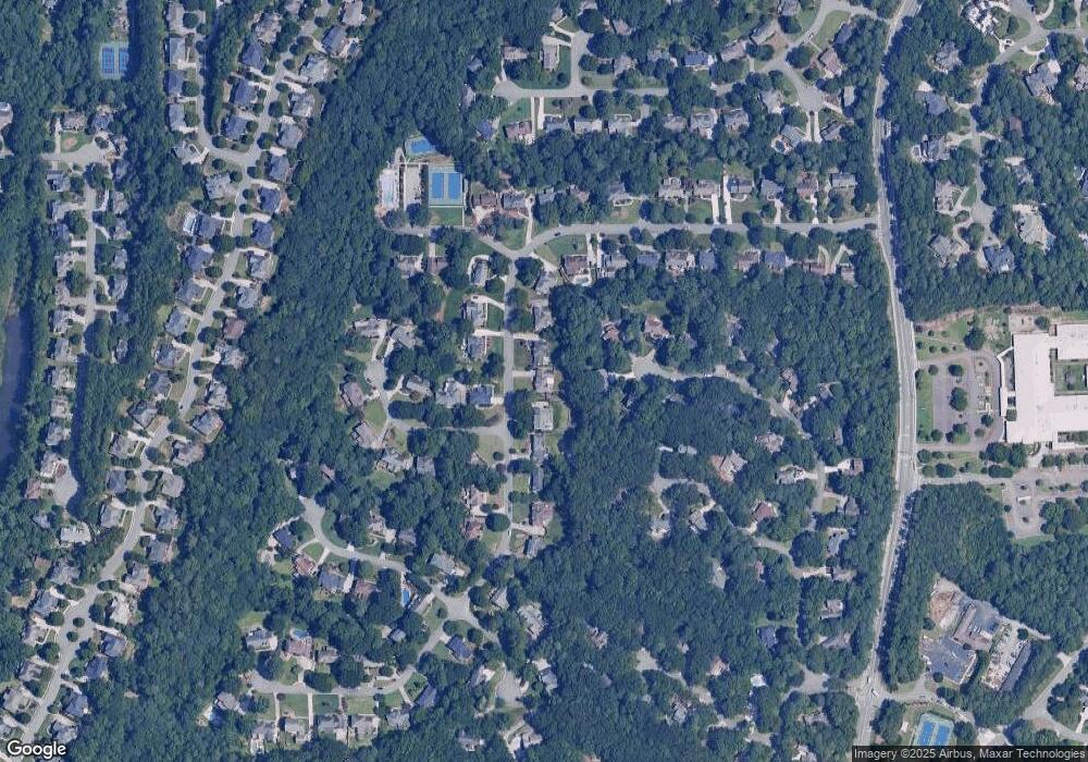
Map
Nearby Homes
- 9510 Stoney Ridge Ln
- 375 N Peak Dr
- 3450 Merganser Ln
- 352 N Peak Dr
- 3535 Merganser Ln Unit 2
- 9675 Almaviva Dr
- 545 Oak Bridge Trail
- 8870 Old Southwick Pass
- 515 Oak Bridge Trail
- 2045 Northwick Pass Way
- 340 Mount Mitchell Way
- 2100 Northwick Pass Way
- 9695 Almaviva Dr
- 9715 Almaviva Dr
- 3765 Redcoat Way
- 1050 Bedford Gardens Dr
- 1055 Leadenhall St
- 6092 Carlisle Ln
- 150 Stoney Ridge Dr
- 3535 Aubusson Trace
- 3555 Aubusson Trace
- 760 Wheeler Peak Way Unit 2
- 0 Aubusson Trace
- 3530 Aubusson Trace
- 3525 Aubusson Trace
- 3565 Aubusson Trace Unit I
- 765 Wheeler Peak Way
- 3540 Aubusson Trace
- 750 Wheeler Peak Way
- 3515 Aubusson Trace
- 3575 Aubusson Trace
- 3700 Borning Ct Unit 1
- 3585 Aubusson Trace
- 755 Wheeler Peak Way
- 755 Wheeler Peak Way Unit 2
- 3560 Aubusson Trace
- 3625 Aubusson Trace Unit 1
- 740 Wheeler Peak Way