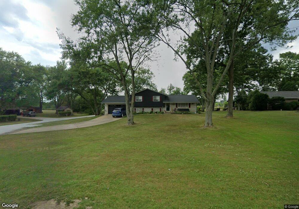
3545 Meese Rd Louisville, OH 44641
Estimated Value: $196,471 - $243,000
3
Beds
2
Baths
1,104
Sq Ft
$195/Sq Ft
Est. Value
About This Home
This home is located at 3545 Meese Rd, Louisville, OH 44641 and is currently estimated at $215,618, approximately $195 per square foot. 3545 Meese Rd is a home located in Stark County with nearby schools including Louisville High School and St. Thomas Aquinas High School & Middle School.
Ownership History
Date
Name
Owned For
Owner Type
Purchase Details
Closed on
Jul 26, 2005
Sold by
Wernet Mark E
Bought by
Reese Larry C and Reese Robin L
Current Estimated Value
Home Financials for this Owner
Home Financials are based on the most recent Mortgage that was taken out on this home.
Original Mortgage
$126,800
Outstanding Balance
$68,567
Interest Rate
6.12%
Mortgage Type
Fannie Mae Freddie Mac
Estimated Equity
$147,051
Create a Home Valuation Report for This Property
The Home Valuation Report is an in-depth analysis detailing your home's value as well as a comparison with similar homes in the area
Home Values in the Area
Average Home Value in this Area
Purchase History
| Date | Buyer | Sale Price | Title Company |
|---|---|---|---|
| Reese Larry C | $158,500 | -- |
Source: Public Records
Mortgage History
| Date | Status | Borrower | Loan Amount |
|---|---|---|---|
| Open | Reese Larry C | $126,800 | |
| Closed | Reese Larry C | $31,700 |
Source: Public Records
Tax History Compared to Growth
Tax History
| Year | Tax Paid | Tax Assessment Tax Assessment Total Assessment is a certain percentage of the fair market value that is determined by local assessors to be the total taxable value of land and additions on the property. | Land | Improvement |
|---|---|---|---|---|
| 2025 | -- | $52,930 | $17,330 | $35,600 |
| 2024 | -- | $52,930 | $17,330 | $35,600 |
| 2023 | $2,270 | $46,690 | $14,070 | $32,620 |
| 2022 | $2,276 | $46,690 | $14,070 | $32,620 |
| 2021 | $2,283 | $46,690 | $14,070 | $32,620 |
| 2020 | $1,968 | $42,530 | $12,670 | $29,860 |
| 2019 | $1,976 | $42,530 | $12,670 | $29,860 |
| 2018 | $1,969 | $42,530 | $12,670 | $29,860 |
| 2017 | $1,801 | $37,110 | $9,490 | $27,620 |
| 2016 | $1,761 | $37,110 | $9,490 | $27,620 |
| 2015 | $1,765 | $37,110 | $9,490 | $27,620 |
| 2014 | $1,774 | $34,510 | $8,820 | $25,690 |
| 2013 | $891 | $34,510 | $8,820 | $25,690 |
Source: Public Records
Map
Nearby Homes
- 3390 Meese Rd NE
- 2110 Edmar St
- 1812 E Broad St
- 1715 High St
- 8225 Georgetown St
- 908 Sand Lot Cir
- 641 S Nickelplate St
- 520 S Silver St
- 2015 E Main St
- 308 Superior St
- 728 E Broad St
- 0 Michigan Blvd
- 1702 View Pointe Ave
- 510 S Bauman Ct
- 204 E Broad St
- 107 E Broad St
- 1639 Horizon Dr
- 325 Lincoln Ave
- 1990 Belfort Ave
- 2425 Miday Ave NE
- 3566 Meese Rd
- 3565 Meese Rd
- 3544 Meese Rd NE
- 3544 Meese Rd NE
- 3511 Meese Rd
- 3510 Meese Rd NE
- 3594 Meese Rd
- 3494 Meese Rd NE
- 8835 Rue Helena St
- 3505 Meese Rd NE
- 3478 Meese Rd
- 8834 Rue Helena St
- 3614 Meese Rd
- 3633 Meese Rd
- 8861 Rue Helena St
- 8861 Rue Helena St
- 8861 Rue Helena St
- 8861 Rue Helena St
- 3454 Meese Rd
- 8852 Rue Helena St