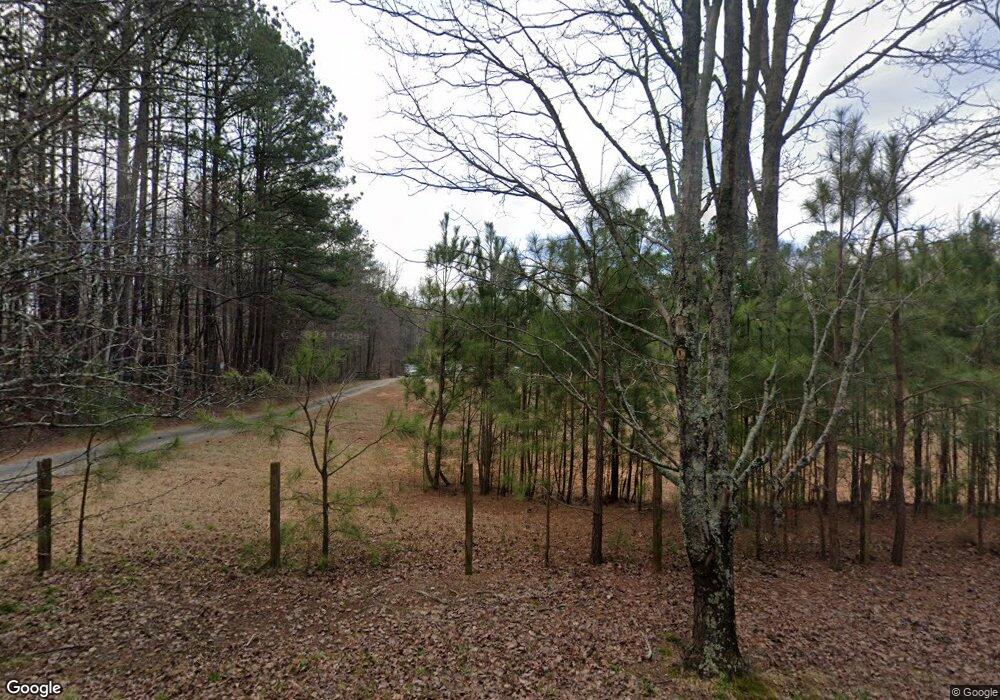
3545 Rollins Rd Cumming, GA 30040
Estimated Value: $506,000 - $854,000
3
Beds
3
Baths
1,620
Sq Ft
$404/Sq Ft
Est. Value
About This Home
This home is located at 3545 Rollins Rd, Cumming, GA 30040 and is currently estimated at $653,779, approximately $403 per square foot. 3545 Rollins Rd is a home located in Forsyth County with nearby schools including George W. Whitlow Elementary School, Otwell Middle School, and Forsyth Central High School.
Ownership History
Date
Name
Owned For
Owner Type
Purchase Details
Closed on
Feb 28, 2014
Sold by
Wf Tg V Llc
Bought by
Claridge Thorngate Llc
Current Estimated Value
Purchase Details
Closed on
Jan 31, 2003
Sold by
Morin Roger and Morin Debra A
Bought by
Zembrzuski Steve A
Home Financials for this Owner
Home Financials are based on the most recent Mortgage that was taken out on this home.
Original Mortgage
$305,600
Interest Rate
5.95%
Mortgage Type
New Conventional
Create a Home Valuation Report for This Property
The Home Valuation Report is an in-depth analysis detailing your home's value as well as a comparison with similar homes in the area
Home Values in the Area
Average Home Value in this Area
Purchase History
| Date | Buyer | Sale Price | Title Company |
|---|---|---|---|
| Claridge Thorngate Llc | $750,000 | -- | |
| Zembrzuski Steve A | $382,000 | -- |
Source: Public Records
Mortgage History
| Date | Status | Borrower | Loan Amount |
|---|---|---|---|
| Previous Owner | Zembrzuski Steve A | $305,600 |
Source: Public Records
Tax History Compared to Growth
Tax History
| Year | Tax Paid | Tax Assessment Tax Assessment Total Assessment is a certain percentage of the fair market value that is determined by local assessors to be the total taxable value of land and additions on the property. | Land | Improvement |
|---|---|---|---|---|
| 2025 | $5,909 | $254,128 | $171,360 | $82,768 |
| 2024 | $5,909 | $236,864 | $151,200 | $85,664 |
| 2023 | $7,153 | $290,612 | $166,320 | $124,292 |
| 2022 | $5,087 | $166,040 | $79,200 | $86,840 |
| 2021 | $4,585 | $166,040 | $79,200 | $86,840 |
| 2020 | $4,502 | $163,036 | $79,200 | $83,836 |
| 2019 | $4,412 | $159,544 | $76,000 | $83,544 |
| 2018 | $4,063 | $146,940 | $76,000 | $70,940 |
| 2017 | $3,821 | $137,692 | $76,000 | $61,692 |
| 2016 | $3,540 | $127,536 | $57,000 | $70,536 |
| 2015 | $3,546 | $127,536 | $57,000 | $70,536 |
| 2014 | $3,467 | $130,948 | $0 | $0 |
Source: Public Records
Map
Nearby Homes
- 3315 Castleberry Rd
- 3554 Castleberry Rd
- 4470 Maple Valley Dr
- 4255 Glen Iris Dr
- 3680 Castleberry Rd
- 3215 Trowbridge Dr
- 4190 Glen Iris Dr
- 3815 Glen Laurel Ct
- 4110 Glen Iris Dr
- 3995 Village Estates Ct
- 3845 Magnolia Walk Trail
- 4010 Village Estates Ct
- 3760 Castleberry Rd
- 3410 Pinehurst Rd
- 3625 Maple Valley Dr Unit 4
- 3450 Maple Valley Dr Unit 4
- 3428 Castleberry Village Cir Unit 47
- 3460 Trow Creek Ln
- 3815 Castleberry Rd
- 3545 Rollins Rd
- 3515 Rollins Rd
- 3575 Rollins Rd
- 3445 Rollins Rd
- 3615 Rollins Rd
- 3516 Rollins Rd
- 3550 Rollins Rd
- 3550 Rollins Rd Unit 5 AC
- 3410 Castleberry Rd
- 3410 Castleberry Rd Unit 56
- 3610 Rollins Rd
- 3460 Rollins Rd
- 3623 Rollins Rd Unit 14-15
- 3623 Rollins Rd
- 3560 Rollins Rd
- 3426 Castleberry Rd
- 3426 Rollins Rd
- 3408 Castleberry Rd Unit 57
- 3416 Castleberry Rd Unit 53
- 3398 Castleberry Rd Unit 61
