35458 Pheasant Ln Unit 76 Westland, MI 48185
Estimated Value: $192,868 - $210,000
--
Bed
2
Baths
1,227
Sq Ft
$163/Sq Ft
Est. Value
About This Home
This home is located at 35458 Pheasant Ln Unit 76, Westland, MI 48185 and is currently estimated at $200,217, approximately $163 per square foot. 35458 Pheasant Ln Unit 76 is a home located in Wayne County with nearby schools including Wildwood Elementary School, Marshall Upper Elementary School, and Adlai Stevenson Middle School.
Ownership History
Date
Name
Owned For
Owner Type
Purchase Details
Closed on
Mar 15, 2019
Sold by
Dalling Alice I
Bought by
Dalling Alice I and Geise Robert
Current Estimated Value
Purchase Details
Closed on
Feb 22, 2016
Sold by
Dalling Alice L
Bought by
Dalling Alice I
Purchase Details
Closed on
Sep 2, 2003
Sold by
Mcauliffe Karen A and Keenan Ann E
Bought by
Dalling Alice I
Purchase Details
Closed on
Jul 3, 2001
Sold by
Keenan Ann E
Bought by
Keenan Ann E
Create a Home Valuation Report for This Property
The Home Valuation Report is an in-depth analysis detailing your home's value as well as a comparison with similar homes in the area
Home Values in the Area
Average Home Value in this Area
Purchase History
| Date | Buyer | Sale Price | Title Company |
|---|---|---|---|
| Dalling Alice I | -- | None Available | |
| Dalling Alice I | -- | Attorney | |
| Dalling Alice I | $146,000 | Multiple | |
| Keenan Ann E | -- | -- |
Source: Public Records
Tax History Compared to Growth
Tax History
| Year | Tax Paid | Tax Assessment Tax Assessment Total Assessment is a certain percentage of the fair market value that is determined by local assessors to be the total taxable value of land and additions on the property. | Land | Improvement |
|---|---|---|---|---|
| 2025 | $1,497 | $88,100 | $0 | $0 |
| 2024 | $1,497 | $84,900 | $0 | $0 |
| 2023 | $1,430 | $73,700 | $0 | $0 |
| 2022 | $1,624 | $66,600 | $0 | $0 |
| 2021 | $1,583 | $61,200 | $0 | $0 |
| 2020 | $1,566 | $60,800 | $0 | $0 |
| 2019 | $1,508 | $59,800 | $0 | $0 |
| 2018 | $1,176 | $52,500 | $0 | $0 |
| 2017 | $482 | $45,900 | $0 | $0 |
| 2016 | $1,468 | $45,900 | $0 | $0 |
| 2015 | $2,912 | $43,250 | $0 | $0 |
| 2013 | $2,821 | $29,510 | $0 | $0 |
| 2012 | $1,360 | $29,670 | $0 | $0 |
Source: Public Records
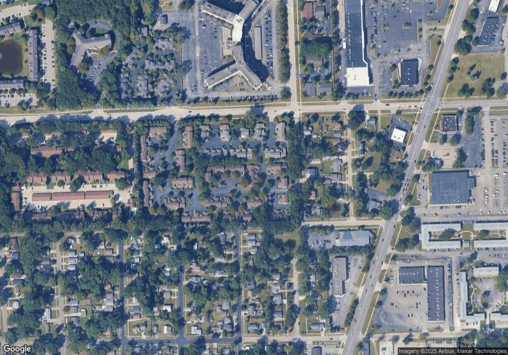
Map
Nearby Homes
- 6546 Quail Run Cir
- 35737 Hunter Ave
- 35754 Castlewood Ct
- 0 N Wayne Rd
- 7051 Wayne Rd
- 35863 Hunter Ave Unit 34
- 5942 N Walton St
- 35833 Ford Rd
- 34802 Pardo St
- 34752 John Hauk St
- 34203 Tomahawk Dr
- 6145 N Dowling St
- 0 Dowling Ave
- 6541 Pembrook Dr
- 34036 Pawnee St
- 1680 N Hanlon St
- 1654 Shoemaker Dr Unit 145
- 37175 Russell Dr
- 32238 Meridian Dr
- 37186 Amhurst Dr Unit 5
- 35464 Pheasant Ln
- 35470 Pheasant Ln
- 35440 Pheasant Ln Unit 71
- 35434 Pheasant Ln
- 35428 Pheasant Ln
- 35410 Pheasant Ln
- 35404 Pheasant Ln
- 35422 Pheasant Ln
- 35463 Pheasant Ln
- 35457 Pheasant Ln
- 35469 Pheasant Ln
- 35439 Pheasant Ln
- 35403 Pheasant Ln
- 35403 Pheasant Ln Unit 68
- 35433 Pheasant Ln Unit 65
- 35427 Pheasant Ln
- 35409 Pheasant Ln Unit 67
- 35488 Pheasant Ln
- 35452 Pheasant Ln
- 35494 Pheasant Ln Unit 82