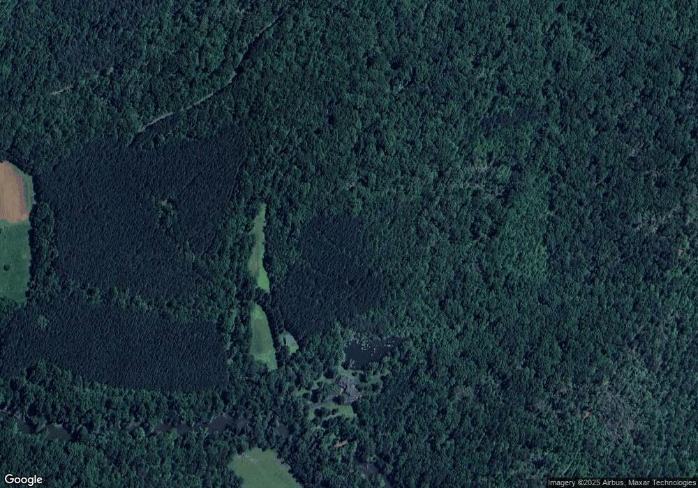
3546 Abrams and Moore Rd Rutherfordton, NC 28139
Estimated Value: $926,000 - $1,601,455
4
Beds
4
Baths
4,263
Sq Ft
$296/Sq Ft
Est. Value
About This Home
This home is located at 3546 Abrams and Moore Rd, Rutherfordton, NC 28139 and is currently estimated at $1,263,728, approximately $296 per square foot. 3546 Abrams and Moore Rd is a home located in Polk County.
Ownership History
Date
Name
Owned For
Owner Type
Purchase Details
Closed on
May 5, 2025
Sold by
Pipe Creek Productions Llc
Bought by
Thomas Michael Mack Living Trust and Mack
Current Estimated Value
Purchase Details
Closed on
Apr 24, 2013
Sold by
Mack Thomas M and Reinhardt Mack Susan E
Bought by
Pipe Creek Productions Llc
Purchase Details
Closed on
May 11, 2004
Bought by
Pipe Creek Productions Llc
Create a Home Valuation Report for This Property
The Home Valuation Report is an in-depth analysis detailing your home's value as well as a comparison with similar homes in the area
Home Values in the Area
Average Home Value in this Area
Purchase History
| Date | Buyer | Sale Price | Title Company |
|---|---|---|---|
| Thomas Michael Mack Living Trust | -- | None Listed On Document | |
| Pipe Creek Productions Llc | -- | None Available | |
| Mack Thomas M | -- | None Available | |
| Pipe Creek Productions Llc | $209,000 | -- |
Source: Public Records
Tax History Compared to Growth
Tax History
| Year | Tax Paid | Tax Assessment Tax Assessment Total Assessment is a certain percentage of the fair market value that is determined by local assessors to be the total taxable value of land and additions on the property. | Land | Improvement |
|---|---|---|---|---|
| 2025 | $4,196 | $789,651 | $59,213 | $730,438 |
| 2024 | $3,692 | $577,077 | $52,061 | $525,016 |
| 2023 | $3,727 | $577,077 | $52,061 | $525,016 |
| 2022 | $3,438 | $577,077 | $52,061 | $525,016 |
| 2021 | $3,328 | $558,366 | $52,061 | $506,305 |
| 2020 | $3,371 | $528,947 | $47,151 | $481,796 |
| 2019 | $3,371 | $528,947 | $47,151 | $481,796 |
| 2018 | $3,265 | $528,947 | $47,151 | $481,796 |
| 2017 | $3,186 | $541,786 | $48,204 | $493,582 |
| 2016 | $3,260 | $541,786 | $48,204 | $493,582 |
| 2015 | $3,127 | $0 | $0 | $0 |
| 2014 | $3,127 | $0 | $0 | $0 |
| 2013 | -- | $0 | $0 | $0 |
Source: Public Records
Map
Nearby Homes
- 0 Abrams & Moore Rd Unit CAR4191437
- 250 Valley Dr
- 782 County Line Rd S
- 99999 Abrams & Moore Rd
- 0000 S County Line Rd
- Tract 3 County Line Rd
- 190 Elliott Ln
- 0000 Elliott Ln Unit 45 & 48
- 999 Rivercrest Pkwy Unit 28
- 0 Zachary Ln Unit 39
- 0000 Zachary Ln Unit 37
- 99999 Sunny View Dr
- 00 Zachary Ln
- 480 River Crest Pkwy
- 99999 Pea Ridge Rd
- 2784 Pea Ridge Rd
- 135 V S Dalton Rd
- 1002 C Rd
- 4859 Coxe Rd
- 4107 Sandy Plains Rd
- 130 Living Water Ln
- 77 Living Water Ln
- 196 the Gathering Place
- 2771 Abrams Moore Rd
- 129 High Ridge Rd Unit 129
- 85 High Ridge Dr
- 85 High Ridge Dr Unit 127
- TBD Abrams & Moore Rd
- 99999 Abrams and Moore Rd
- 126 High Ridge Dr Unit 126
- Lot 28 High Meadows Ln Unit 28
- 0 High Ridge Dr Unit 129 3381443
- 891 Cross Ridge Dr
- 957 Cross Ridge Dr
- 815 Cross Ridge Dr Unit 128
- 815 Cross Ridge Dr
- 904 Cross Ridge Dr
- 904 Cross Ridge Dr Unit 138
- 2225 Abrams and Moore Rd
- 2225 Abrams and Moore Rd
