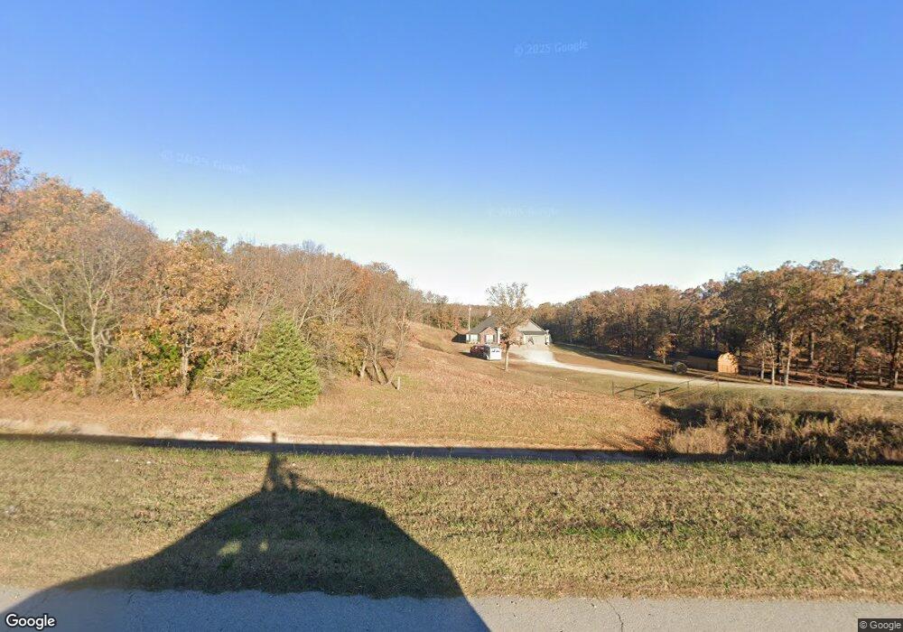
35465 W Highway 51 Mannford, OK 74044
Estimated Value: $308,000 - $396,942
4
Beds
2
Baths
2,081
Sq Ft
$165/Sq Ft
Est. Value
About This Home
This home is located at 35465 W Highway 51, Mannford, OK 74044 and is currently estimated at $343,314, approximately $164 per square foot. 35465 W Highway 51 is a home with nearby schools including Mannford Upper Elementary School, Mannford Lower Elementary School, and Mannford Middle School.
Ownership History
Date
Name
Owned For
Owner Type
Purchase Details
Closed on
Jul 16, 2020
Sold by
Elliott Troy W
Bought by
Elliott Kelly R
Current Estimated Value
Home Financials for this Owner
Home Financials are based on the most recent Mortgage that was taken out on this home.
Original Mortgage
$84,961
Outstanding Balance
$75,170
Interest Rate
3.1%
Mortgage Type
FHA
Estimated Equity
$268,144
Purchase Details
Closed on
Nov 15, 2017
Sold by
Tharp Fred and Tharp Phyllis
Bought by
Elliott Troy W and Elliott Kelly R
Create a Home Valuation Report for This Property
The Home Valuation Report is an in-depth analysis detailing your home's value as well as a comparison with similar homes in the area
Home Values in the Area
Average Home Value in this Area
Purchase History
| Date | Buyer | Sale Price | Title Company |
|---|---|---|---|
| Elliott Kelly R | -- | American Eagle Title Group | |
| Elliott Troy W | -- | None Available |
Source: Public Records
Mortgage History
| Date | Status | Borrower | Loan Amount |
|---|---|---|---|
| Open | Elliott Kelly R | $84,961 |
Source: Public Records
Tax History Compared to Growth
Tax History
| Year | Tax Paid | Tax Assessment Tax Assessment Total Assessment is a certain percentage of the fair market value that is determined by local assessors to be the total taxable value of land and additions on the property. | Land | Improvement |
|---|---|---|---|---|
| 2025 | $3,168 | $35,067 | $2,879 | $32,188 |
| 2024 | $3,168 | $33,397 | $2,879 | $30,518 |
| 2023 | $3,168 | $31,806 | $2,879 | $28,927 |
| 2022 | $2,683 | $29,287 | $2,879 | $26,408 |
| 2021 | $2,532 | $27,892 | $2,879 | $25,013 |
| 2020 | $2,704 | $28,919 | $2,879 | $26,040 |
| 2019 | $2,821 | $29,879 | $2,879 | $27,000 |
| 2018 | $280 | $2,879 | $2,879 | $0 |
| 2017 | $1 | $81 | $81 | $0 |
Source: Public Records
Map
Nearby Homes
- 2365 S 361st West Ave
- 35846 Stone Creek Place
- 3042 State Highway 48
- 38087 W 28th St S
- 36516 Cramer Rd
- 2464 S 369th West Ave
- 35459 W 36th St S
- 2945 Sunset Rd
- 34392 W 33rd Place S
- 33780 W 33rd Place S
- 2122 S 353rd West Ave
- 2950 S 385th West Ave
- 140 Glendale Cir
- 750 Creek Ln
- 103 Dogwood
- 1168 Shasta Ln
- 653 Gibson Place
- 152 Granada Dr
- 32069 Meadow Ln
- 552 Altus Ln
- 35541 W 51st St S
- 2486 S 353rd West Ave
- 29891 Oklahoma 51
- 43301 Oklahoma 51
- 35534 W Highway 51
- 2662 Robin Cir
- 2439 Stone Creek Way
- 2461 Stone Creek Way
- 2461 Stone Creek Way
- 2461 Stone Creek Way
- 35534 W 51st St S
- 2669 Robin Cir
- 2657 Robin Cir
- 2378 S 353rd West Ave
- 35718 W Highway 51
- 35894 Stone Creek Dr
- 35894 Stone Creek Dr
- 35894 Stone Creek Dr
- 2391 Stone Creek Way
- 2391 Stone Creek Way