35469 Pheasant Ln Westland, MI 48185
Estimated Value: $197,000 - $212,028
2
Beds
2
Baths
1,100
Sq Ft
$184/Sq Ft
Est. Value
About This Home
This home is located at 35469 Pheasant Ln, Westland, MI 48185 and is currently estimated at $202,507, approximately $184 per square foot. 35469 Pheasant Ln is a home located in Wayne County with nearby schools including Wildwood Elementary School, Marshall Upper Elementary School, and Adlai Stevenson Middle School.
Ownership History
Date
Name
Owned For
Owner Type
Purchase Details
Closed on
May 8, 2020
Sold by
Nowak Kenneth F and Paruch Elizabeth A
Bought by
Givens Joanne
Current Estimated Value
Home Financials for this Owner
Home Financials are based on the most recent Mortgage that was taken out on this home.
Original Mortgage
$128,040
Interest Rate
3.2%
Mortgage Type
New Conventional
Purchase Details
Closed on
May 24, 2004
Sold by
Nowak Eleanore
Bought by
Nowak Eleanore and Eleanore Nowak Revocable Living Trust
Purchase Details
Closed on
Aug 20, 1997
Sold by
Jennifer L Brokholz and Jennifer He
Bought by
Eleanore Nowak
Create a Home Valuation Report for This Property
The Home Valuation Report is an in-depth analysis detailing your home's value as well as a comparison with similar homes in the area
Home Values in the Area
Average Home Value in this Area
Purchase History
| Date | Buyer | Sale Price | Title Company |
|---|---|---|---|
| Givens Joanne | $132,000 | None Available | |
| Nowak Eleanore | -- | -- | |
| Eleanore Nowak | $121,900 | -- |
Source: Public Records
Mortgage History
| Date | Status | Borrower | Loan Amount |
|---|---|---|---|
| Previous Owner | Givens Joanne | $128,040 |
Source: Public Records
Tax History Compared to Growth
Tax History
| Year | Tax Paid | Tax Assessment Tax Assessment Total Assessment is a certain percentage of the fair market value that is determined by local assessors to be the total taxable value of land and additions on the property. | Land | Improvement |
|---|---|---|---|---|
| 2025 | $3,109 | $94,900 | $0 | $0 |
| 2024 | $3,109 | $91,200 | $0 | $0 |
| 2023 | $2,969 | $79,700 | $0 | $0 |
| 2022 | $3,365 | $72,100 | $0 | $0 |
| 2021 | $3,280 | $66,100 | $0 | $0 |
| 2020 | $1,940 | $65,500 | $0 | $0 |
| 2019 | $2,564 | $64,300 | $0 | $0 |
| 2018 | $2,137 | $58,100 | $0 | $0 |
| 2017 | $595 | $50,700 | $0 | $0 |
| 2016 | $2,477 | $50,700 | $0 | $0 |
| 2015 | $3,611 | $44,200 | $0 | $0 |
| 2013 | $3,498 | $36,650 | $0 | $0 |
| 2012 | $2,468 | $36,800 | $0 | $0 |
Source: Public Records
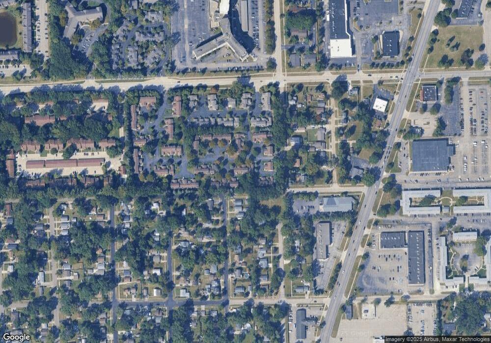
Map
Nearby Homes
- 6546 Quail Run Cir
- 35737 Hunter Ave
- 0 N Wayne Rd
- 7051 Wayne Rd
- 35754 Castlewood Ct
- 35863 Hunter Ave Unit 34
- 35833 Ford Rd
- 34802 Pardo St
- 34752 John Hauk St
- 34203 Tomahawk Dr
- 34036 Pawnee St
- 6145 N Dowling St
- 0 Dowling Ave
- 37175 Russell Dr
- 32238 Meridian Dr
- 34153 Warren Rd
- 6541 Pembrook Dr
- 1680 N Hanlon St
- 1654 Shoemaker Dr Unit 145
- 1605 N Hanlon St
- 35463 Pheasant Ln
- 35457 Pheasant Ln
- 35439 Pheasant Ln
- 35433 Pheasant Ln Unit 65
- 35403 Pheasant Ln
- 35403 Pheasant Ln Unit 68
- 35427 Pheasant Ln
- 35409 Pheasant Ln Unit 67
- 35421 Pheasant Ln
- 35470 Pheasant Ln
- 35464 Pheasant Ln
- 35458 Pheasant Ln Unit 76
- 35440 Pheasant Ln Unit 71
- 35434 Pheasant Ln
- 35428 Pheasant Ln
- 35410 Pheasant Ln
- 35487 Pheasant Ln Unit 54
- 35404 Pheasant Ln
- 35493 Pheasant Ln
- 35499 Pheasant Ln