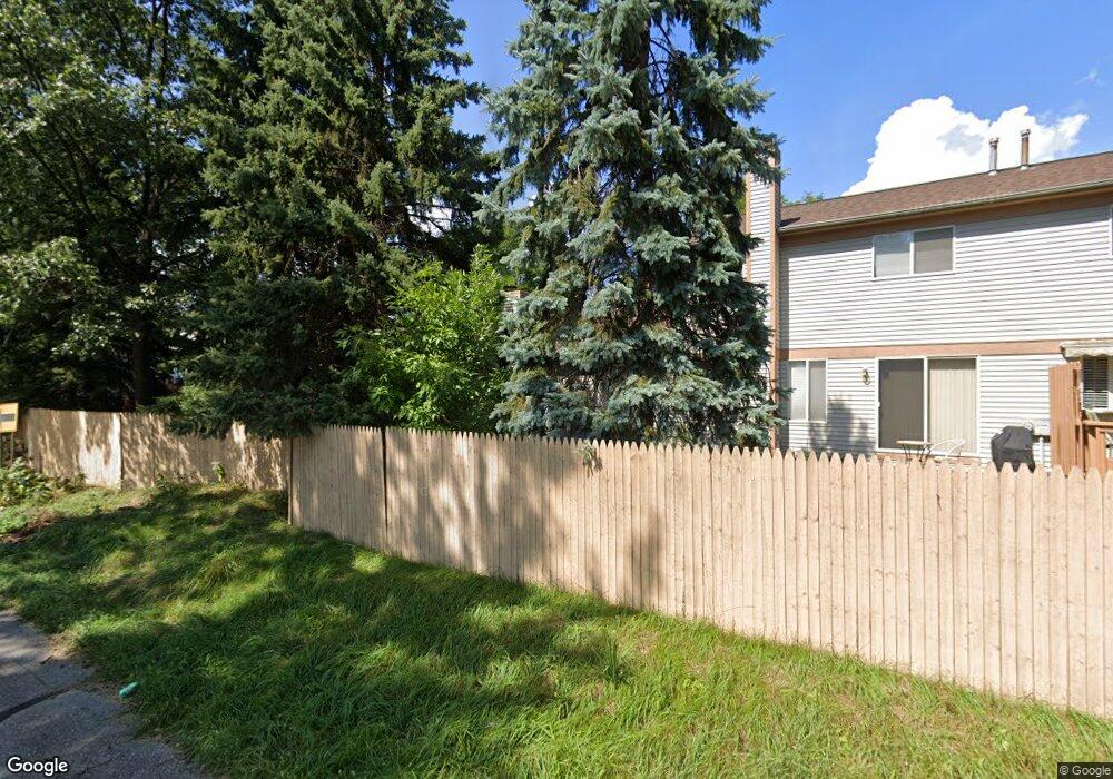
35487 Pheasant Ln Unit 54 Westland, MI 48185
Estimated Value: $188,000 - $262,000
--
Bed
2
Baths
1,255
Sq Ft
$167/Sq Ft
Est. Value
About This Home
This home is located at 35487 Pheasant Ln Unit 54, Westland, MI 48185 and is currently estimated at $209,713, approximately $167 per square foot. 35487 Pheasant Ln Unit 54 is a home located in Wayne County with nearby schools including Wildwood Elementary School, Marshall Upper Elementary School, and Adlai Stevenson Middle School.
Ownership History
Date
Name
Owned For
Owner Type
Purchase Details
Closed on
Dec 23, 2020
Sold by
Ge Capital Llc
Bought by
Gorditsa Yevgen
Current Estimated Value
Purchase Details
Closed on
Jun 6, 2019
Sold by
Brown Laurie and Brown Laurie A
Bought by
Ge Capital Llc
Purchase Details
Closed on
Jul 13, 2006
Sold by
Brown Maurice
Bought by
Lasalle Bank Na
Purchase Details
Closed on
Apr 7, 2004
Sold by
Hannan Christopher M and Hannan Tammy
Bought by
Brown Maurice
Create a Home Valuation Report for This Property
The Home Valuation Report is an in-depth analysis detailing your home's value as well as a comparison with similar homes in the area
Home Values in the Area
Average Home Value in this Area
Purchase History
| Date | Buyer | Sale Price | Title Company |
|---|---|---|---|
| Gorditsa Yevgen | -- | None Available | |
| Ge Capital Llc | $9,612 | None Available | |
| Lasalle Bank Na | $132,265 | None Available | |
| Brown Maurice | $158,900 | Multiple |
Source: Public Records
Tax History Compared to Growth
Tax History
| Year | Tax Paid | Tax Assessment Tax Assessment Total Assessment is a certain percentage of the fair market value that is determined by local assessors to be the total taxable value of land and additions on the property. | Land | Improvement |
|---|---|---|---|---|
| 2025 | $2,365 | $93,900 | $0 | $0 |
| 2024 | $2,365 | $90,300 | $0 | $0 |
| 2023 | $2,256 | $78,800 | $0 | $0 |
| 2022 | $2,438 | $71,300 | $0 | $0 |
| 2021 | $2,405 | $65,400 | $0 | $0 |
| 2020 | $1,732 | $64,900 | $0 | $0 |
| 2019 | $1,668 | $63,800 | $0 | $0 |
| 2018 | $1,301 | $57,400 | $0 | $0 |
| 2017 | $532 | $50,100 | $0 | $0 |
| 2016 | $1,623 | $50,100 | $0 | $0 |
| 2015 | $3,222 | $47,220 | $0 | $0 |
| 2013 | $3,121 | $32,680 | $0 | $0 |
| 2012 | $1,508 | $32,860 | $0 | $0 |
Source: Public Records
Map
Nearby Homes
- 6546 Quail Run Cir
- 35737 Hunter Ave
- 35754 Castlewood Ct
- 0 N Wayne Rd
- 7051 Wayne Rd
- 35863 Hunter Ave Unit 34
- 5942 N Walton St
- 35833 Ford Rd
- 34802 Pardo St
- 34752 John Hauk St
- 34203 Tomahawk Dr
- 6145 N Dowling St
- 0 Dowling Ave
- 6541 Pembrook Dr
- 34036 Pawnee St
- 1680 N Hanlon St
- 1654 Shoemaker Dr Unit 145
- 37175 Russell Dr
- 32238 Meridian Dr
- 37186 Amhurst Dr Unit 5
- 35493 Pheasant Ln
- 35499 Pheasant Ln
- 35499 Pheasant Ln Unit 56
- 35505 Pheasant Ln
- 35505 Pheasant Ln Unit 57
- 35511 Pheasant Ln Unit 58
- 0000 Undisclosed
- 0 Dillon Ave - C North #306 Ave Unit 218073606
- 35529 Pheasant Ln
- 35535 Pheasant Ln
- 35488 Pheasant Ln
- 35494 Pheasant Ln Unit 82
- 35500 Pheasant Ln Unit 81
- 35541 Pheasant Ln
- 35512 Pheasant Ln
- 35469 Pheasant Ln
- 35481 Pheasant Ln
- 35463 Pheasant Ln
- 35457 Pheasant Ln
- 35452 Pheasant Ln