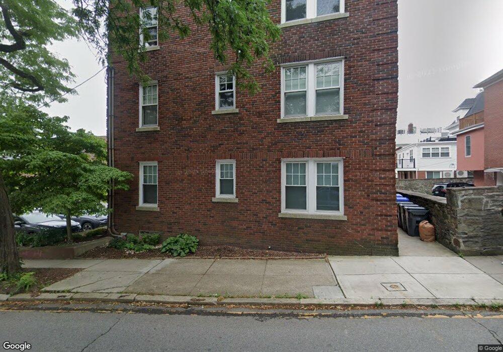
355 Angell St Unit 12 Providence, RI 02906
Wayland NeighborhoodEstimated Value: $317,000 - $353,843
2
Beds
1
Bath
780
Sq Ft
$438/Sq Ft
Est. Value
About This Home
This home is located at 355 Angell St Unit 12, Providence, RI 02906 and is currently estimated at $341,461, approximately $437 per square foot. 355 Angell St Unit 12 is a home located in Providence County with nearby schools including Asa Messer Elementary School, Charles N. Fortes Elementary School, and Robert L. Bailey IV Elementary.
Ownership History
Date
Name
Owned For
Owner Type
Purchase Details
Closed on
Jan 10, 2013
Sold by
Forbes Daniel P
Bought by
Forbes Lt
Current Estimated Value
Purchase Details
Closed on
Mar 28, 2001
Sold by
Brown Walter
Bought by
Forbes Daniel P
Home Financials for this Owner
Home Financials are based on the most recent Mortgage that was taken out on this home.
Original Mortgage
$87,400
Interest Rate
6.96%
Create a Home Valuation Report for This Property
The Home Valuation Report is an in-depth analysis detailing your home's value as well as a comparison with similar homes in the area
Home Values in the Area
Average Home Value in this Area
Purchase History
| Date | Buyer | Sale Price | Title Company |
|---|---|---|---|
| Forbes Lt | -- | -- | |
| Forbes Daniel P | $92,000 | -- |
Source: Public Records
Mortgage History
| Date | Status | Borrower | Loan Amount |
|---|---|---|---|
| Previous Owner | Forbes Daniel P | $114,508 | |
| Previous Owner | Forbes Daniel P | $135,000 | |
| Previous Owner | Forbes Daniel P | $41,000 | |
| Previous Owner | Forbes Daniel P | $87,400 |
Source: Public Records
Tax History Compared to Growth
Tax History
| Year | Tax Paid | Tax Assessment Tax Assessment Total Assessment is a certain percentage of the fair market value that is determined by local assessors to be the total taxable value of land and additions on the property. | Land | Improvement |
|---|---|---|---|---|
| 2025 | $5,174 | $354,400 | $0 | $354,400 |
| 2024 | $4,679 | $255,000 | $0 | $255,000 |
| 2023 | $4,679 | $255,000 | $0 | $255,000 |
| 2022 | $4,539 | $255,000 | $0 | $255,000 |
| 2021 | $4,092 | $166,600 | $0 | $166,600 |
| 2020 | $4,092 | $166,600 | $0 | $166,600 |
| 2019 | $4,092 | $166,600 | $0 | $166,600 |
| 2018 | $4,557 | $142,600 | $0 | $142,600 |
| 2017 | $4,557 | $142,600 | $0 | $142,600 |
| 2016 | $4,557 | $142,600 | $0 | $142,600 |
| 2015 | $4,399 | $132,900 | $0 | $132,900 |
| 2014 | $4,485 | $132,900 | $0 | $132,900 |
| 2013 | $4,485 | $132,900 | $0 | $132,900 |
Source: Public Records
Map
Nearby Homes
- 303 Angell St Unit 3
- 165 Waterman St Unit 2
- 157 Waterman St Unit 21
- 20 E George St
- 63 Pitman St Unit 5
- 63 Pitman St Unit 4
- 124 Pitman St
- 19 S Angell St Unit 2
- 125 Taber Ave
- 30 S Angell St Unit 3
- 30 S Angell St Unit 2
- 260 Bowen St
- 537 Angell St Unit 3
- 22 Miles Ave Unit 1
- 163 Butler Ave Unit 2
- 222 Williams St Unit A
- 349 Wayland Ave
- 134 Irving Ave
- 228 Medway St
- 207 Williams St Unit 2
- 355 Angell St Unit 14
- 355 Angell St Unit 9
- 355 Angell St Unit 7
- 355 Angell St Unit 13
- 355 Angell St Unit 10
- 355 Angell St Unit 1
- 355 Angell St Unit 3
- 355 Angell St Unit 11
- 355 Angell St Unit 8
- 355 Angell St Unit 6
- 355 Angell St Unit 5
- 355 Angell St Unit 4
- 355 Angell St Unit 2
- 353 Angell St Unit 1
- 353 Angell St Unit 6
- 353 Angell St Unit 2
- 353 Angell St Unit 14
- 353 Angell St Unit 5
- 293 Governor St Unit 5
- 293 Governor St Unit 103