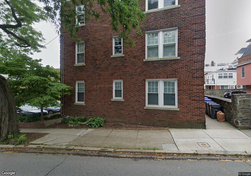
355 Angell St Unit 14 Providence, RI 02906
Wayland NeighborhoodEstimated Value: $189,000 - $319,000
1
Bed
1
Bath
780
Sq Ft
$315/Sq Ft
Est. Value
About This Home
This home is located at 355 Angell St Unit 14, Providence, RI 02906 and is currently estimated at $245,655, approximately $314 per square foot. 355 Angell St Unit 14 is a home located in Providence County with nearby schools including Asa Messer Elementary School, Charles N. Fortes Elementary School, and Robert L. Bailey IV Elementary.
Ownership History
Date
Name
Owned For
Owner Type
Purchase Details
Closed on
May 15, 2008
Sold by
Deutsche Bank Natl T C
Bought by
Connell Malcolm
Current Estimated Value
Purchase Details
Closed on
Apr 1, 2008
Sold by
Farin Rhonda
Bought by
Deutsche Bank Natl T C
Purchase Details
Closed on
Jun 6, 2005
Sold by
Drewniak Sean
Bought by
Farin Rhonda
Home Financials for this Owner
Home Financials are based on the most recent Mortgage that was taken out on this home.
Original Mortgage
$152,800
Interest Rate
5.83%
Mortgage Type
Purchase Money Mortgage
Create a Home Valuation Report for This Property
The Home Valuation Report is an in-depth analysis detailing your home's value as well as a comparison with similar homes in the area
Home Values in the Area
Average Home Value in this Area
Purchase History
| Date | Buyer | Sale Price | Title Company |
|---|---|---|---|
| Connell Malcolm | $65,000 | -- | |
| Deutsche Bank Natl T C | $147,105 | -- | |
| Farin Rhonda | $191,000 | -- |
Source: Public Records
Mortgage History
| Date | Status | Borrower | Loan Amount |
|---|---|---|---|
| Previous Owner | Farin Rhonda | $152,800 |
Source: Public Records
Tax History Compared to Growth
Tax History
| Year | Tax Paid | Tax Assessment Tax Assessment Total Assessment is a certain percentage of the fair market value that is determined by local assessors to be the total taxable value of land and additions on the property. | Land | Improvement |
|---|---|---|---|---|
| 2025 | $1,930 | $132,200 | $0 | $132,200 |
| 2024 | $1,811 | $98,700 | $0 | $98,700 |
| 2023 | $1,811 | $98,700 | $0 | $98,700 |
| 2022 | $1,757 | $98,700 | $0 | $98,700 |
| 2021 | $2,034 | $82,800 | $0 | $82,800 |
| 2020 | $2,034 | $82,800 | $0 | $82,800 |
| 2019 | $2,034 | $82,800 | $0 | $82,800 |
| 2018 | $2,266 | $70,900 | $0 | $70,900 |
| 2017 | $2,266 | $70,900 | $0 | $70,900 |
| 2016 | $3,023 | $94,600 | $0 | $94,600 |
| 2015 | $2,919 | $88,200 | $0 | $88,200 |
| 2014 | $2,977 | $88,200 | $0 | $88,200 |
| 2013 | -- | $88,200 | $0 | $88,200 |
Source: Public Records
Map
Nearby Homes
- 165 Waterman St Unit 2
- 20 Taber Ave
- 41 Taber Ave
- 63 Pitman St Unit 5
- 63 Pitman St Unit 4
- 117 Benevolent St
- 124 Pitman St
- 19 S Angell St Unit 2
- 125 Taber Ave
- 30 S Angell St Unit 2
- 260 Bowen St
- 537 Angell St Unit 3
- 22 Miles Ave Unit 1
- 130 Gano St
- 130 Gano St Unit A
- 134 Irving Ave
- 228 Medway St
- 207 Williams St Unit 2
- 201 Arlington Ave
- 141 Elton St
- 355 Angell St Unit 9
- 355 Angell St Unit 7
- 355 Angell St Unit 13
- 355 Angell St Unit 10
- 355 Angell St Unit 1
- 355 Angell St Unit 12
- 355 Angell St Unit 3
- 355 Angell St Unit 11
- 355 Angell St Unit 8
- 355 Angell St Unit 6
- 355 Angell St Unit 5
- 355 Angell St Unit 4
- 355 Angell St Unit 2
- 353 Angell St Unit 1
- 353 Angell St Unit 6
- 353 Angell St Unit 2
- 353 Angell St Unit 14
- 353 Angell St Unit 5
- 293 Governor St Unit 5
- 293 Governor St Unit 103