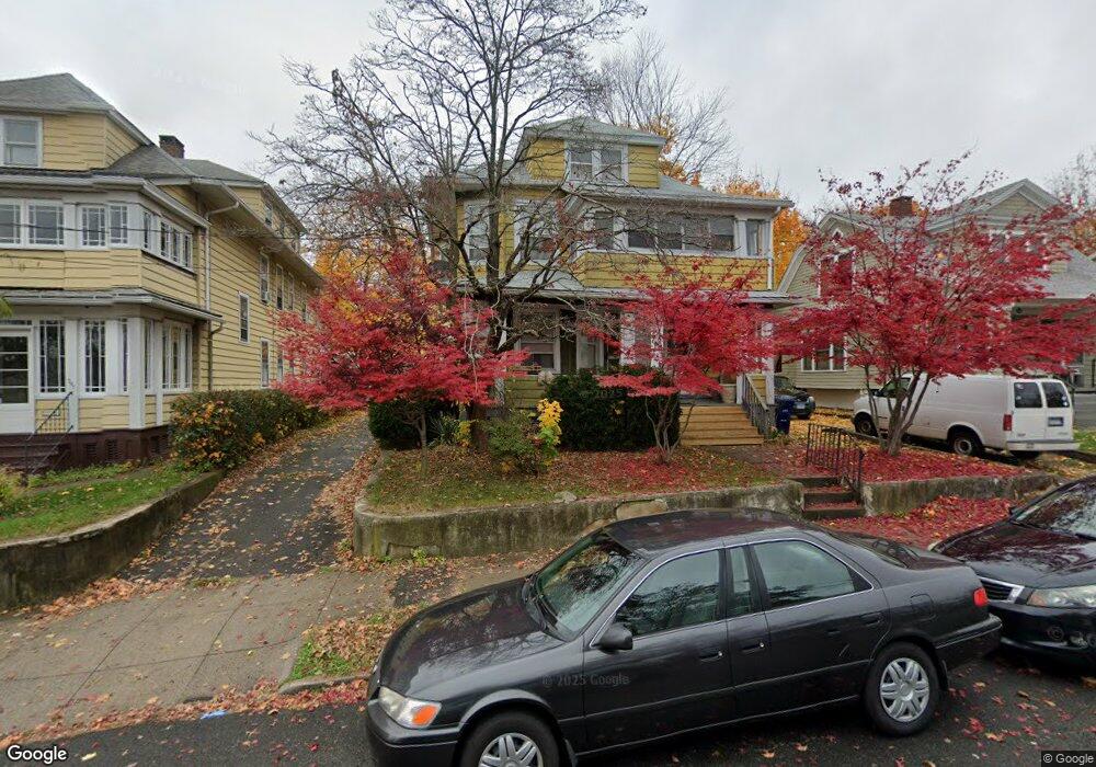
355 Anson St Bridgeport, CT 06606
Brooklawn-Saint Vincent NeighborhoodEstimated Value: $472,313 - $680,000
6
Beds
3
Baths
3,497
Sq Ft
$167/Sq Ft
Est. Value
About This Home
This home is located at 355 Anson St, Bridgeport, CT 06606 and is currently estimated at $585,078, approximately $167 per square foot. 355 Anson St is a home located in Fairfield County with nearby schools including Read School, Central High School, and Catholic Academy of Bridgeport-St. Raphael Academy.
Ownership History
Date
Name
Owned For
Owner Type
Purchase Details
Closed on
Nov 17, 1995
Sold by
Terek Frieda
Bought by
Perez Diego A
Current Estimated Value
Home Financials for this Owner
Home Financials are based on the most recent Mortgage that was taken out on this home.
Original Mortgage
$94,500
Interest Rate
7.53%
Mortgage Type
Unknown
Create a Home Valuation Report for This Property
The Home Valuation Report is an in-depth analysis detailing your home's value as well as a comparison with similar homes in the area
Home Values in the Area
Average Home Value in this Area
Purchase History
| Date | Buyer | Sale Price | Title Company |
|---|---|---|---|
| Perez Diego A | $105,000 | -- | |
| Perez Diego A | $105,000 | -- |
Source: Public Records
Mortgage History
| Date | Status | Borrower | Loan Amount |
|---|---|---|---|
| Open | Perez Diego A | $144,150 | |
| Closed | Perez Diego A | $142,500 | |
| Closed | Perez Diego A | $94,500 |
Source: Public Records
Tax History Compared to Growth
Tax History
| Year | Tax Paid | Tax Assessment Tax Assessment Total Assessment is a certain percentage of the fair market value that is determined by local assessors to be the total taxable value of land and additions on the property. | Land | Improvement |
|---|---|---|---|---|
| 2025 | $8,161 | $187,830 | $67,520 | $120,310 |
| 2024 | $8,161 | $187,830 | $67,520 | $120,310 |
| 2023 | $8,161 | $187,830 | $67,520 | $120,310 |
| 2022 | $8,161 | $187,830 | $67,520 | $120,310 |
| 2021 | $8,161 | $187,830 | $67,520 | $120,310 |
| 2020 | $7,143 | $132,310 | $40,910 | $91,400 |
| 2019 | $7,143 | $132,310 | $40,910 | $91,400 |
| 2018 | $7,194 | $132,310 | $40,910 | $91,400 |
| 2017 | $7,194 | $132,310 | $40,910 | $91,400 |
| 2016 | $7,194 | $132,310 | $40,910 | $91,400 |
| 2015 | $7,003 | $165,950 | $41,260 | $124,690 |
| 2014 | $7,003 | $165,950 | $41,260 | $124,690 |
Source: Public Records
Map
Nearby Homes
- 936 Lindley St
- 25 Manhattan Ave Unit 27
- 926 Hart St
- 916 Hart St
- 106 Manhattan Ave Unit 108
- 123 Harlem Ave
- 1265 Lindley St
- 508 Hawley Ave
- 330 French St
- 203 Wayne St
- 39 Infield St
- 234 Savoy St
- 252 Harlem Ave Unit B6
- 252 Harlem Ave Unit B5
- 45 Stevens St Unit 2
- 631 Fairview Ave
- 105 Tremont Ave Unit E
- 105 Tremont Ave Unit B
- 138 Infield St
- 3401 Main St