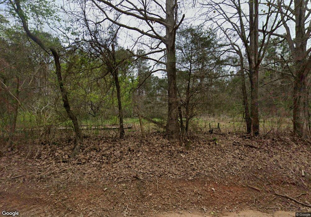
355 Ash Rd Franklin, GA 30217
Estimated Value: $361,000 - $497,938
3
Beds
2
Baths
2,100
Sq Ft
$206/Sq Ft
Est. Value
About This Home
This home is located at 355 Ash Rd, Franklin, GA 30217 and is currently estimated at $432,735, approximately $206 per square foot. 355 Ash Rd is a home located in Heard County with nearby schools including Heard County High School.
Ownership History
Date
Name
Owned For
Owner Type
Purchase Details
Closed on
Oct 31, 2006
Sold by
Betts Sara N
Bought by
Betts Andrew L
Current Estimated Value
Purchase Details
Closed on
Aug 6, 1993
Sold by
Shelnutt Mary Ann A and Pauline Arrington
Bought by
Betts Sarah Nell Arrington
Purchase Details
Closed on
Dec 31, 1991
Sold by
Arrington Pauline
Bought by
Betts Sarah Nell Arrington
Create a Home Valuation Report for This Property
The Home Valuation Report is an in-depth analysis detailing your home's value as well as a comparison with similar homes in the area
Home Values in the Area
Average Home Value in this Area
Purchase History
| Date | Buyer | Sale Price | Title Company |
|---|---|---|---|
| Betts Andrew L | -- | -- | |
| Banks Dana Lynn | -- | -- | |
| Betts Sarah Nell Arrington | -- | -- | |
| Betts Sarah Nell Arrington | -- | -- |
Source: Public Records
Tax History Compared to Growth
Tax History
| Year | Tax Paid | Tax Assessment Tax Assessment Total Assessment is a certain percentage of the fair market value that is determined by local assessors to be the total taxable value of land and additions on the property. | Land | Improvement |
|---|---|---|---|---|
| 2024 | $3,000 | $187,062 | $45,586 | $141,476 |
| 2023 | $2,861 | $168,572 | $37,989 | $130,583 |
| 2022 | $2,823 | $148,845 | $18,032 | $130,813 |
| 2021 | $2,310 | $118,861 | $18,032 | $100,829 |
| 2020 | $2,231 | $114,400 | $18,032 | $96,368 |
| 2019 | $2,229 | $114,400 | $18,032 | $96,368 |
| 2018 | $2,395 | $105,836 | $18,032 | $87,804 |
| 2017 | $1,977 | $99,930 | $16,338 | $83,592 |
| 2016 | $1,974 | $99,930 | $16,338 | $83,592 |
| 2015 | -- | $85,792 | $22,693 | $63,099 |
| 2014 | -- | $85,792 | $22,693 | $63,099 |
| 2013 | -- | $70,131 | $2,231 | $67,900 |
Source: Public Records
Map
Nearby Homes
- 0 Hall Rd Unit 10620491
- 543 Hall Rd
- 2451 Macedonia Rd
- 2643 Macedonia Rd
- 260 TRACT 2 Fabiano Rd
- 260 TRACT 3 Fabiano Rd
- 0 County Road 340 Unit 21428894
- 0 County Road 340
- 6535 Ridgeway Rd
- 0 County Road 518 Unit 11548102
- 0 County Road 112 Unit 143109
- 10045 County Road 56
- 1972 County Road 71
- 207 County Road 561
- 24260 Georgia 100
- Tract 3 County Road 561
- Tract 1 County Road 561
- Tract 2 County Road 561
- 22833 Ga Highway 100
- 1428 County Road 71
- 461 Ash Rd
- 9130 Frolona Rd
- 9184 Frolona Rd
- 606 Ash Rd
- 0 Arrington Loop Unit 8291253
- 70 Arrington Loop
- 8864 Frolona Rd
- 9240 Frolona Rd
- 8761 Frolona Rd
- 8730 Frolona Rd
- 531 Red Oak Rd
- 2349 County Road 52
- 8675 Frolona Rd
- 211 Red Oak Rd
- 2347 County Road 52
- 2450 County Road 52
- 8404 Frolona Rd
- 2544 County Road 52
- 2544 County Road 52
- 8485 Frolona Rd
