355 Briarwood Rd Shirley, AR 72153
Estimated Value: $137,000 - $305,000
2
Beds
2
Baths
1,624
Sq Ft
$128/Sq Ft
Est. Value
About This Home
This home is located at 355 Briarwood Rd, Shirley, AR 72153 and is currently estimated at $207,379, approximately $127 per square foot. 355 Briarwood Rd is a home located in Van Buren County with nearby schools including Shirley Elementary School and Shirley High School.
Ownership History
Date
Name
Owned For
Owner Type
Purchase Details
Closed on
May 23, 2025
Sold by
Lane Monica
Bought by
Freeman Virgil and Olegario Teresita
Current Estimated Value
Purchase Details
Closed on
Apr 24, 2024
Sold by
Jacks Stephanie and Jacks Larry
Bought by
Lane Monica and Caminiti Susan
Purchase Details
Closed on
Feb 26, 2016
Sold by
Watts Cheryl A
Bought by
Watts Cheryl A and Jacks Stephanie
Purchase Details
Closed on
Jul 27, 2011
Sold by
Humphrey Kathleen E and Humphrey Bruce U
Bought by
Watts Cheryl A
Home Financials for this Owner
Home Financials are based on the most recent Mortgage that was taken out on this home.
Original Mortgage
$60,000
Interest Rate
4.53%
Mortgage Type
New Conventional
Purchase Details
Closed on
Dec 13, 1996
Bought by
Peacock
Create a Home Valuation Report for This Property
The Home Valuation Report is an in-depth analysis detailing your home's value as well as a comparison with similar homes in the area
Home Values in the Area
Average Home Value in this Area
Purchase History
| Date | Buyer | Sale Price | Title Company |
|---|---|---|---|
| Freeman Virgil | $125,000 | Proland Title | |
| Lane Monica | -- | None Listed On Document | |
| Watts Cheryl A | -- | None Available | |
| Watts Cheryl A | $80,000 | None Available | |
| Peacock | -- | -- |
Source: Public Records
Mortgage History
| Date | Status | Borrower | Loan Amount |
|---|---|---|---|
| Previous Owner | Watts Cheryl A | $60,000 |
Source: Public Records
Tax History Compared to Growth
Tax History
| Year | Tax Paid | Tax Assessment Tax Assessment Total Assessment is a certain percentage of the fair market value that is determined by local assessors to be the total taxable value of land and additions on the property. | Land | Improvement |
|---|---|---|---|---|
| 2024 | $989 | $23,110 | $1,630 | $21,480 |
| 2023 | $564 | $23,110 | $1,630 | $21,480 |
| 2022 | $614 | $23,110 | $1,630 | $21,480 |
| 2021 | $614 | $23,110 | $1,630 | $21,480 |
| 2020 | $614 | $23,110 | $1,630 | $21,480 |
| 2019 | $580 | $22,310 | $1,630 | $20,680 |
| 2018 | $605 | $22,310 | $1,630 | $20,680 |
| 2017 | $946 | $22,310 | $1,630 | $20,680 |
| 2015 | -- | $24,740 | $1,630 | $23,110 |
| 2014 | -- | $24,740 | $1,630 | $23,110 |
| 2013 | -- | $24,740 | $1,630 | $23,110 |
Source: Public Records
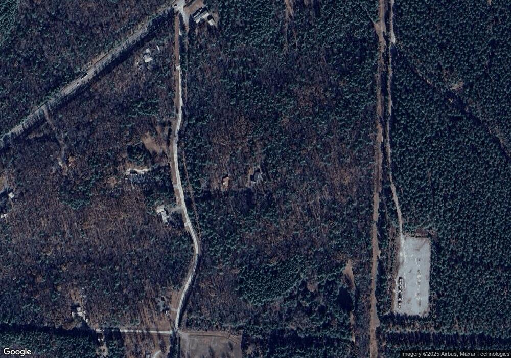
Map
Nearby Homes
- 1962 Mountain Park Rd
- 16.61 Acres Mountain Park Rd
- 2525 Mountain Park Rd
- 0 Corner of Hwy 330 S and Garner Ln Unit 24045956
- 0 Corner of Hwy 330 & New Rd Unit 24045954
- 27.46 Highway 330 S
- 27.46 Acres Highway 330 S
- Lot 64 Cobalt Bay Dr
- TBD Tract 4 Cobalt Bay Dr
- TBD Tract 3 Cobalt Bay Dr
- Lot 96 Cobalt Bay Dr
- Lot 47 Cobalt Bay Dr
- Lot 49 Cobalt Bay Dr
- Lot 65 Cobalt Bay Dr
- Lot 88 Cobalt Bay Dr
- Lot 91 Cobalt Bay Dr
- Lot 107 Cobalt Bay Dr
- Lot 72 Cobalt Bay Dr
- Lot 69 Cobalt Bay Dr
- Lot 108 Cobalt Bay Dr
- 729 Briarwood Rd
- 316 Briarwood Rd
- 370 Briarwood Rd
- 117 Briarwood Rd
- 0 Briarwood Rd
- 150 Galaxy Rd
- 487 Briarwood Rd
- 135 Galaxy Rd
- 1547 the New Rd
- 0 Briarwood Rd Rd
- 226 Orchard Rd
- 1360 the New Rd
- 2471 the New Rd
- 885 the New Rd
- 982 the New Rd
- 848 Orchard Rd
- 1016 Orchard Rd
- 138 Banner Loop Rd
- 2531 Mountain Park Rd
- 1712 the New Rd