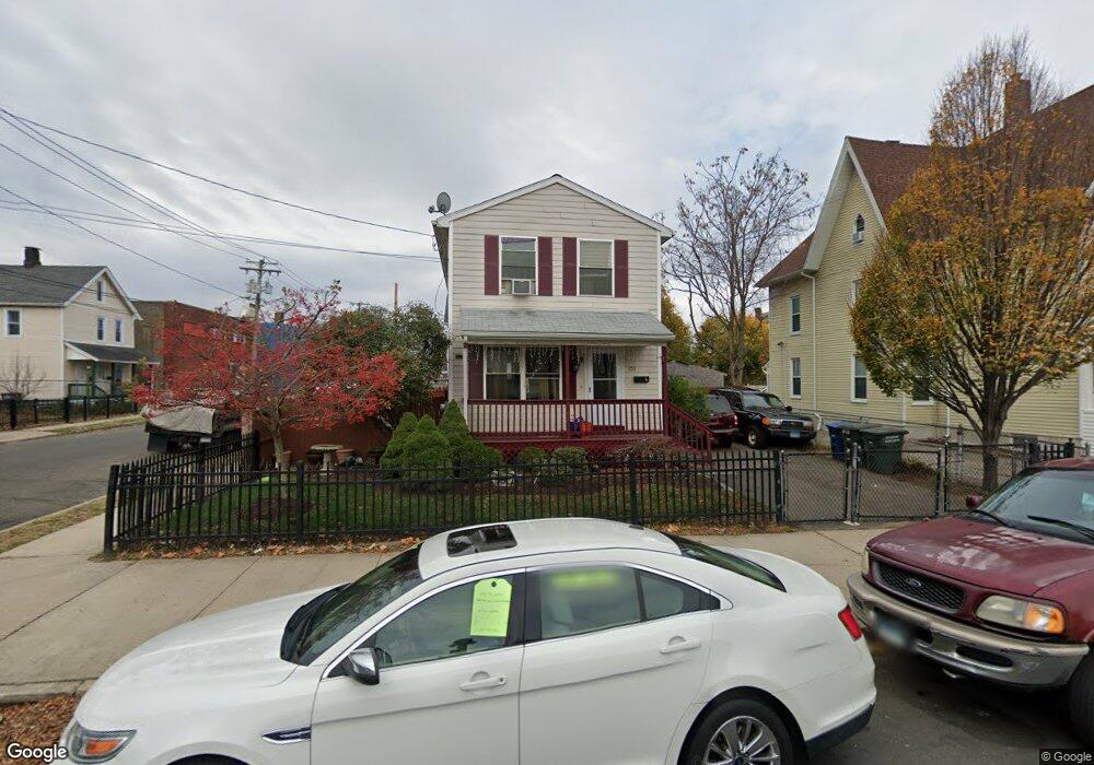
355 Brooks St Bridgeport, CT 06608
East Side Bridgeport NeighborhoodEstimated Value: $290,000 - $330,000
3
Beds
2
Baths
1,368
Sq Ft
$223/Sq Ft
Est. Value
About This Home
This home is located at 355 Brooks St, Bridgeport, CT 06608 and is currently estimated at $304,741, approximately $222 per square foot. 355 Brooks St is a home located in Fairfield County with nearby schools including Barnum School, Harding High School, and Achievement First Bridgeport Academy Elementary School.
Ownership History
Date
Name
Owned For
Owner Type
Purchase Details
Closed on
Apr 14, 2010
Sold by
Habitat For Humanity
Bought by
Cruz Josue and Vazquez Tania Maria
Current Estimated Value
Home Financials for this Owner
Home Financials are based on the most recent Mortgage that was taken out on this home.
Original Mortgage
$113,250
Outstanding Balance
$36,008
Interest Rate
4.97%
Estimated Equity
$268,733
Purchase Details
Closed on
Jan 4, 1994
Sold by
Green Daniel
Bought by
Peoples Bk
Create a Home Valuation Report for This Property
The Home Valuation Report is an in-depth analysis detailing your home's value as well as a comparison with similar homes in the area
Home Values in the Area
Average Home Value in this Area
Purchase History
| Date | Buyer | Sale Price | Title Company |
|---|---|---|---|
| Cruz Josue | $113,250 | -- | |
| Habitat For Humanity | $15,281 | -- | |
| Cruz Josue | $113,250 | -- | |
| Peoples Bk | $44,800 | -- | |
| Peoples Bk | $44,800 | -- |
Source: Public Records
Mortgage History
| Date | Status | Borrower | Loan Amount |
|---|---|---|---|
| Open | Peoples Bk | $113,250 | |
| Closed | Peoples Bk | $113,250 | |
| Closed | Peoples Bk | $0 |
Source: Public Records
Tax History
| Year | Tax Paid | Tax Assessment Tax Assessment Total Assessment is a certain percentage of the fair market value that is determined by local assessors to be the total taxable value of land and additions on the property. | Land | Improvement |
|---|---|---|---|---|
| 2025 | $3,444 | $79,275 | $37,670 | $41,605 |
| 2024 | $3,444 | $79,275 | $37,670 | $41,605 |
| 2023 | $3,444 | $79,275 | $37,670 | $41,605 |
| 2022 | $3,444 | $79,275 | $37,670 | $41,605 |
| 2021 | $3,444 | $79,275 | $37,670 | $41,605 |
| 2020 | $4,280 | $79,275 | $16,060 | $63,215 |
| 2019 | $4,280 | $79,275 | $16,060 | $63,215 |
| 2018 | $4,310 | $79,275 | $16,060 | $63,215 |
| 2017 | $4,310 | $79,275 | $16,060 | $63,215 |
| 2016 | $4,310 | $79,275 | $16,060 | $63,215 |
| 2015 | $3,345 | $79,270 | $28,060 | $51,210 |
| 2014 | $3,345 | $79,270 | $28,060 | $51,210 |
Source: Public Records
Map
Nearby Homes
- 365 Brooks St Unit 367
- 505 Shelton St
- 495 Shelton St
- 337 Brooks St
- 375 Brooks St Unit 377
- 491 Shelton St
- 537 Shelton St
- 329 Brooks St
- 510 Shelton St
- 504 Shelton St
- 385 Brooks St Unit 387
- 376 Brooks St
- 332 Brooks St
- 338 Brooks St
- 1200 E Main St
- 330 Brooks St
- 1192 E Main St
- 545 Shelton St
- 486 Ogden St Unit 492
- 486 Ogden St Unit 2
Your Personal Tour Guide
Ask me questions while you tour the home.