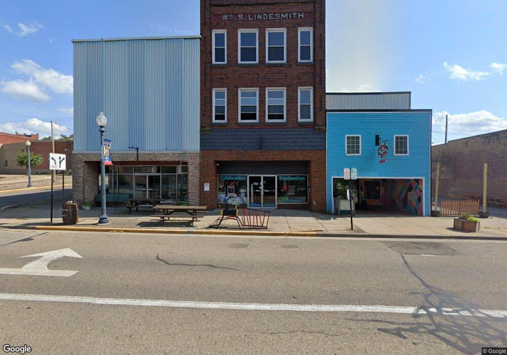
355 E Main St Alliance, OH 44601
Estimated Value: $77,538
Studio
7
Baths
8,250
Sq Ft
$9/Sq Ft
Est. Value
About This Home
This home is located at 355 E Main St, Alliance, OH 44601 and is currently estimated at $77,538, approximately $9 per square foot. 355 E Main St is a home located in Stark County with nearby schools including Alliance Intermediate School at Northside, Alliance Elementary School at Rockhill, and Alliance Middle School.
Ownership History
Date
Name
Owned For
Owner Type
Purchase Details
Closed on
May 17, 2022
Sold by
Rhodes Victoria F
Bought by
Owens Aaron K and Owens Brittany J
Current Estimated Value
Purchase Details
Closed on
Jun 14, 2006
Sold by
Davis Ronald J and Davis Patricia A
Bought by
Rhodes Loren E and Rhodes Victoria F
Purchase Details
Closed on
Nov 22, 2000
Sold by
Davids Floral Inc
Bought by
Davis Ronald J and Davis Patricia A
Purchase Details
Closed on
Aug 28, 1996
Sold by
Grim Mary M
Bought by
Davids Floral Inc
Home Financials for this Owner
Home Financials are based on the most recent Mortgage that was taken out on this home.
Original Mortgage
$50,599
Interest Rate
8.3%
Mortgage Type
Commercial
Create a Home Valuation Report for This Property
The Home Valuation Report is an in-depth analysis detailing your home's value as well as a comparison with similar homes in the area
Home Values in the Area
Average Home Value in this Area
Purchase History
| Date | Buyer | Sale Price | Title Company |
|---|---|---|---|
| Owens Aaron K | -- | Pierce Danielle M | |
| Rhodes Loren E | $85,000 | None Available | |
| Davis Ronald J | $50,000 | -- | |
| Davids Floral Inc | $35,000 | -- |
Source: Public Records
Mortgage History
| Date | Status | Borrower | Loan Amount |
|---|---|---|---|
| Previous Owner | Davids Floral Inc | $50,599 |
Source: Public Records
Tax History
| Year | Tax Paid | Tax Assessment Tax Assessment Total Assessment is a certain percentage of the fair market value that is determined by local assessors to be the total taxable value of land and additions on the property. | Land | Improvement |
|---|---|---|---|---|
| 2025 | $4,580 | $53,590 | $1,160 | $52,430 |
| 2024 | $1,883 | $53,590 | $1,160 | $52,430 |
| 2023 | $3,022 | $29,960 | $1,190 | $28,770 |
| 2022 | $1,011 | $18,900 | $1,190 | $17,710 |
| 2021 | $1,007 | $18,900 | $1,190 | $17,710 |
| 2020 | $865 | $17,190 | $1,090 | $16,100 |
| 2019 | $963 | $17,190 | $1,090 | $16,100 |
Source: Public Records
Map
Nearby Homes
- 361 E Main St
- V/L S Freedom Ave
- 62 E Market St
- 847 E Patterson St
- 442 S Liberty Ave
- 710 N Freedom Ave
- 427 S Union Ave
- 505 N Union Ave
- 452 E Summit St
- 726 S Arch Ave
- 171 1/2 W Main St
- 163 W Market St
- 1015 Reed St
- 1025 Reed St
- 1245 Jersey St
- 955 E Summit St
- 234 Rosenberry St
- 807 S Union Ave
- 228 W Oxford St
- 849 Walnut Ave
- 353 E Main St
- 1 S Linden Ave
- 349 E Main St
- 474 E Main St
- 362 E Main St
- 358 E Main St
- 346 E Main St
- 317 & 319 E Main St
- 40 S Linden Ave
- 320 E Main St
- 426 E Main St
- 314 E Main St
- 450 E Main St
- 317 E Main St
- 425 E Market St
- 25 S Arch Ave
- 25 S Arch Ave Unit 5
- 25 S Arch Ave Unit 4
- 253 E Main St
- 39 S Arch Ave
Your Personal Tour Guide
Ask me questions while you tour the home.