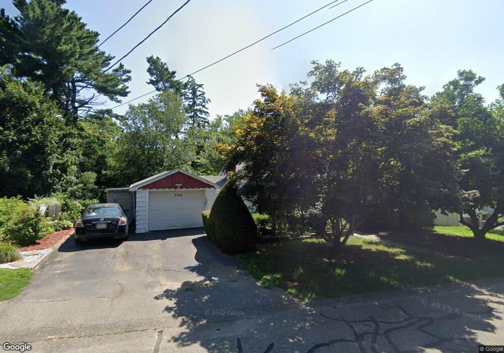
355 Elm St Braintree, MA 02184
East Braintree NeighborhoodEstimated Value: $579,000 - $706,000
2
Beds
1
Bath
1,320
Sq Ft
$484/Sq Ft
Est. Value
About This Home
This home is located at 355 Elm St, Braintree, MA 02184 and is currently estimated at $638,890, approximately $484 per square foot. 355 Elm St is a home located in Norfolk County with nearby schools including Braintree High School, Meeting House Montessori School, and South Shore SDA School.
Ownership History
Date
Name
Owned For
Owner Type
Purchase Details
Closed on
Jan 11, 2008
Sold by
Lacara Josephine R
Bought by
Nguyen Tung T and Nguyen Uyen
Current Estimated Value
Home Financials for this Owner
Home Financials are based on the most recent Mortgage that was taken out on this home.
Original Mortgage
$248,000
Outstanding Balance
$156,950
Interest Rate
6.21%
Mortgage Type
Purchase Money Mortgage
Estimated Equity
$481,940
Purchase Details
Closed on
Mar 30, 2006
Sold by
Lacara Salvatore R and Raymond-Lacara Josephine
Bought by
Lacara Salvatore R and Lacara Josephine R
Create a Home Valuation Report for This Property
The Home Valuation Report is an in-depth analysis detailing your home's value as well as a comparison with similar homes in the area
Home Values in the Area
Average Home Value in this Area
Purchase History
| Date | Buyer | Sale Price | Title Company |
|---|---|---|---|
| Nguyen Tung T | $310,000 | -- | |
| Lacara Salvatore R | -- | -- |
Source: Public Records
Mortgage History
| Date | Status | Borrower | Loan Amount |
|---|---|---|---|
| Open | Nguyen Tung T | $248,000 |
Source: Public Records
Tax History Compared to Growth
Tax History
| Year | Tax Paid | Tax Assessment Tax Assessment Total Assessment is a certain percentage of the fair market value that is determined by local assessors to be the total taxable value of land and additions on the property. | Land | Improvement |
|---|---|---|---|---|
| 2025 | $5,290 | $530,100 | $313,200 | $216,900 |
| 2024 | $4,767 | $502,800 | $289,500 | $213,300 |
| 2023 | $4,553 | $466,500 | $265,700 | $200,800 |
| 2022 | $4,454 | $447,600 | $246,800 | $200,800 |
| 2021 | $4,140 | $416,100 | $227,800 | $188,300 |
| 2020 | $4,103 | $416,100 | $227,800 | $188,300 |
| 2019 | $3,992 | $395,600 | $227,800 | $167,800 |
| 2018 | $3,604 | $341,900 | $180,300 | $161,600 |
| 2017 | $3,468 | $322,900 | $161,300 | $161,600 |
| 2016 | $3,295 | $300,100 | $142,400 | $157,700 |
| 2015 | $3,259 | $294,400 | $136,700 | $157,700 |
| 2014 | $3,134 | $274,400 | $136,700 | $137,700 |
Source: Public Records
Map
Nearby Homes
- 106 Home Park Rd
- 48 Conrad St
- 1 Pantano St
- 74 Magnolia St
- 9 Independence Ave Unit 307
- 86 Alton Rd
- 192 Federal Ave Unit B
- 491 Washington St Unit 1
- 159 Hobart St
- 141 Hobart St
- 10 Skyline Dr Unit 5
- 30 Skyline Dr Unit 6
- 37 Monatiquot Ave
- 29 Joseph Rd
- 177 Franklin St
- 312 Shaw St
- 25 W Howard St Unit D2
- 9 Hillside Ave
- 166 Phipps St
- 15 Bower Rd Unit B5