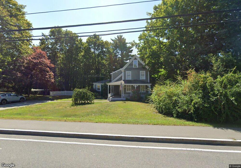
355 First Parish Rd Scituate, MA 02066
Estimated Value: $978,000 - $1,182,000
3
Beds
3
Baths
1,878
Sq Ft
$558/Sq Ft
Est. Value
About This Home
This home is located at 355 First Parish Rd, Scituate, MA 02066 and is currently estimated at $1,047,982, approximately $558 per square foot. 355 First Parish Rd is a home located in Plymouth County with nearby schools including Cushing Elementary School, Lester J. Gates Middle School, and Scituate High School.
Ownership History
Date
Name
Owned For
Owner Type
Purchase Details
Closed on
May 22, 2023
Sold by
Rotty Paul L and Rotty Eileen P
Bought by
355 First Parish Rt and Rotty
Current Estimated Value
Create a Home Valuation Report for This Property
The Home Valuation Report is an in-depth analysis detailing your home's value as well as a comparison with similar homes in the area
Home Values in the Area
Average Home Value in this Area
Purchase History
| Date | Buyer | Sale Price | Title Company |
|---|---|---|---|
| 355 First Parish Rt | -- | None Available |
Source: Public Records
Tax History Compared to Growth
Tax History
| Year | Tax Paid | Tax Assessment Tax Assessment Total Assessment is a certain percentage of the fair market value that is determined by local assessors to be the total taxable value of land and additions on the property. | Land | Improvement |
|---|---|---|---|---|
| 2025 | $8,859 | $886,800 | $391,400 | $495,400 |
| 2024 | $8,738 | $843,400 | $355,900 | $487,500 |
| 2023 | $8,366 | $751,700 | $341,500 | $410,200 |
| 2022 | $8,314 | $658,800 | $313,600 | $345,200 |
| 2021 | $25,687 | $589,100 | $298,700 | $290,400 |
| 2020 | $25,135 | $564,800 | $287,100 | $277,700 |
| 2019 | $5,952 | $433,200 | $281,500 | $151,700 |
| 2018 | $22,770 | $424,700 | $267,900 | $156,800 |
| 2017 | $5,819 | $413,000 | $256,200 | $156,800 |
| 2016 | $5,435 | $384,400 | $232,900 | $151,500 |
| 2015 | $5,036 | $384,400 | $232,900 | $151,500 |
Source: Public Records
Map
Nearby Homes
- 357 First Parish Rd
- 345 First Parish Rd
- 354 Country Way
- 354 First Parish Rd
- 350 Country Way
- 346 First Parish Rd
- 343 First Parish Rd
- 343 First Parish Rd Unit 343
- 343 First Parish Rd
- 339 First Parish Rd
- 339 First Parish Rd
- 337 First Parish Rd
- 342 First Parish Rd
- 16 Langdon Ln
- 344 Country Way
- 341 First Parish Rd Unit B
- 341 First Parish Rd Unit A
- 341 First Parish Rd
- 341 First Parish Rd
- 8 Langdon Ln