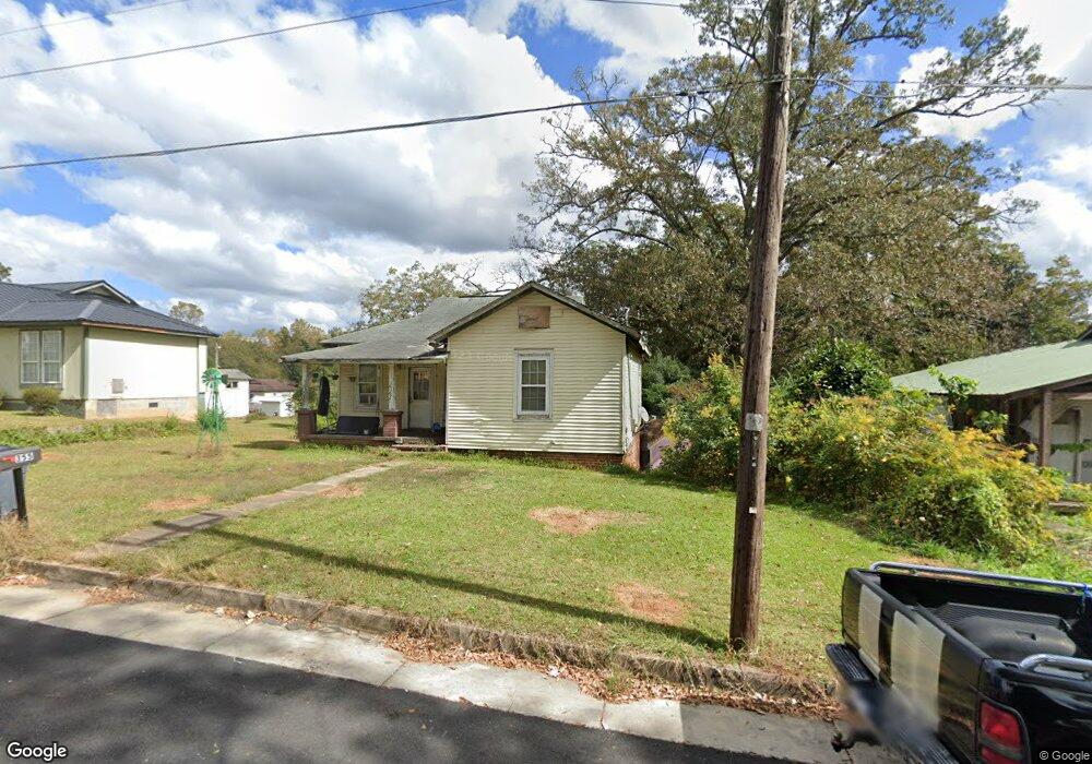
355 Franklin St Manchester, GA 31816
Estimated Value: $79,812 - $107,000
2
Beds
1
Bath
1,000
Sq Ft
$90/Sq Ft
Est. Value
About This Home
This home is located at 355 Franklin St, Manchester, GA 31816 and is currently estimated at $90,203, approximately $90 per square foot. 355 Franklin St is a home located in Meriwether County with nearby schools including Mountain View Elementary School, Manchester Middle School, and Manchester High School.
Ownership History
Date
Name
Owned For
Owner Type
Purchase Details
Closed on
Oct 24, 2011
Sold by
Bailey Frank
Bought by
Prather Valerie B
Current Estimated Value
Purchase Details
Closed on
Oct 14, 2011
Sold by
Bailey Frank
Bought by
Prather Valerie B
Purchase Details
Closed on
Nov 27, 2006
Sold by
Bailey Michael
Bought by
Bailey Frank
Purchase Details
Closed on
Jun 28, 2003
Sold by
Bailey Michael
Bought by
Bailey Michael and Bailey Rhonda V
Purchase Details
Closed on
Mar 4, 2003
Sold by
Tracy Michael D
Bought by
Bailey Michael
Purchase Details
Closed on
Oct 1, 1988
Bought by
Tracy Michael D
Create a Home Valuation Report for This Property
The Home Valuation Report is an in-depth analysis detailing your home's value as well as a comparison with similar homes in the area
Home Values in the Area
Average Home Value in this Area
Purchase History
| Date | Buyer | Sale Price | Title Company |
|---|---|---|---|
| Prather Valerie B | $17,000 | -- | |
| Prather Valerie B | $17,000 | -- | |
| Bailey Frank | $22,220 | -- | |
| Bailey Michael | -- | -- | |
| Bailey Michael | $16,100 | -- | |
| Tracy Michael D | -- | -- |
Source: Public Records
Tax History Compared to Growth
Tax History
| Year | Tax Paid | Tax Assessment Tax Assessment Total Assessment is a certain percentage of the fair market value that is determined by local assessors to be the total taxable value of land and additions on the property. | Land | Improvement |
|---|---|---|---|---|
| 2024 | $491 | $10,400 | $1,920 | $8,480 |
| 2023 | $504 | $10,400 | $1,920 | $8,480 |
| 2022 | $504 | $10,400 | $1,920 | $8,480 |
| 2021 | $332 | $10,400 | $1,920 | $8,480 |
| 2020 | $334 | $10,400 | $1,920 | $8,480 |
| 2019 | $335 | $10,400 | $1,920 | $8,480 |
| 2018 | $339 | $10,400 | $1,920 | $8,480 |
| 2017 | $343 | $10,400 | $1,920 | $8,480 |
| 2016 | $342 | $10,400 | $1,920 | $8,480 |
| 2015 | $343 | $10,400 | $1,920 | $8,480 |
| 2014 | $343 | $10,400 | $1,920 | $8,480 |
| 2013 | -- | $10,400 | $1,920 | $8,480 |
Source: Public Records
Map
Nearby Homes
- 16 North St
- 21 North St
- 94 Cato St
- 12 Truitt St
- 77 Cordwood St
- 322 Chalybeate St
- 900 Mountain Ridge Dr Unit 4.89 ACRES
- 380 Elm St
- 13.27 ACRES Roosevelt Hwy
- 408 Broad St
- 603 Atlantic St
- 304 4th St
- 3.26 ACRES Mountain Ridge Dr
- 802 Jd Parham Dr
- 522 4th St
- 919 L S Glencamp Way
- 305 Holy Hill Place
- 200 Hunt Cir
- 1600 Grant Ave
- 617 Mayes Way