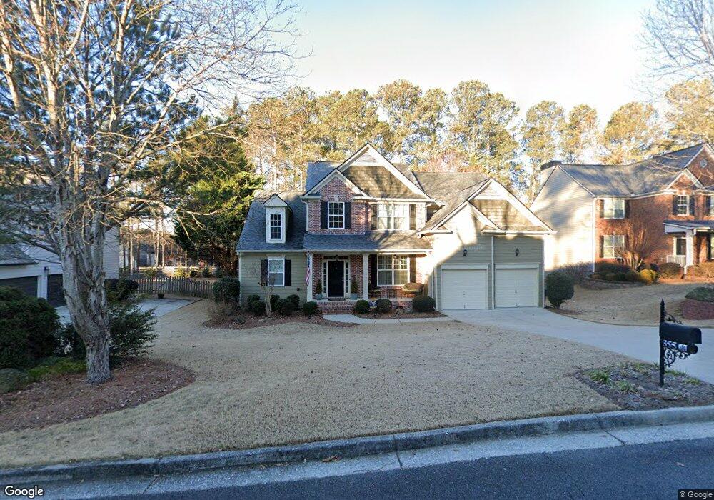
355 Gale Ct Powder Springs, GA 30127
West Cobb NeighborhoodEstimated Value: $488,784 - $589,000
5
Beds
3
Baths
2,621
Sq Ft
$205/Sq Ft
Est. Value
About This Home
This home is located at 355 Gale Ct, Powder Springs, GA 30127 and is currently estimated at $536,446, approximately $204 per square foot. 355 Gale Ct is a home located in Cobb County with nearby schools including Vaughan Elementary School, Lost Mountain Middle School, and Harrison High School.
Ownership History
Date
Name
Owned For
Owner Type
Purchase Details
Closed on
Jul 29, 2009
Sold by
Owens John P and Owens Jera B
Bought by
Miller David S and Miller Allison G
Current Estimated Value
Home Financials for this Owner
Home Financials are based on the most recent Mortgage that was taken out on this home.
Original Mortgage
$175,000
Outstanding Balance
$50,030
Interest Rate
5.26%
Mortgage Type
New Conventional
Estimated Equity
$486,416
Create a Home Valuation Report for This Property
The Home Valuation Report is an in-depth analysis detailing your home's value as well as a comparison with similar homes in the area
Home Values in the Area
Average Home Value in this Area
Purchase History
| Date | Buyer | Sale Price | Title Company |
|---|---|---|---|
| Miller David S | $267,000 | -- |
Source: Public Records
Mortgage History
| Date | Status | Borrower | Loan Amount |
|---|---|---|---|
| Open | Miller David S | $175,000 |
Source: Public Records
Tax History Compared to Growth
Tax History
| Year | Tax Paid | Tax Assessment Tax Assessment Total Assessment is a certain percentage of the fair market value that is determined by local assessors to be the total taxable value of land and additions on the property. | Land | Improvement |
|---|---|---|---|---|
| 2024 | $5,283 | $209,496 | $42,000 | $167,496 |
| 2023 | $3,631 | $158,380 | $32,000 | $126,380 |
| 2022 | $4,204 | $158,380 | $32,000 | $126,380 |
| 2021 | $3,759 | $138,072 | $28,000 | $110,072 |
| 2020 | $3,759 | $138,072 | $28,000 | $110,072 |
| 2019 | $3,323 | $118,516 | $28,000 | $90,516 |
| 2018 | $3,323 | $118,516 | $28,000 | $90,516 |
| 2017 | $3,151 | $118,516 | $28,000 | $90,516 |
| 2016 | $2,792 | $106,008 | $28,000 | $78,008 |
| 2015 | $2,863 | $106,008 | $28,000 | $78,008 |
| 2014 | $2,328 | $87,196 | $0 | $0 |
Source: Public Records
Map
Nearby Homes
- 6049 Wyndham Woods Dr
- 201 Wyndham Woods Trail
- 6280 Wiscasset Pkwy NW
- 582 Braidwood Dr NW
- 5585 Lavender Farms Rd
- 5900 Pavillion Dr
- 6049 Braidwood Close NW Unit 5
- 5954 Henley Dr
- 6017 Chestatee Creek Ct NW
- 6100 Braidwood Ct NW
- 0 Paige St
- 691 Braidwood Terrace NW
- 126 Cartee Ln
- 6211 Woodlore Dr NW
- 128 Courtland Cir
- 6246 Braidwood Way NW
- 654 Braidwood Dr NW
- 260 Rockledge Bend SW
- 276 Rockledge Bend SW
- 353 Gale Ct
- 353 Gale Ct NW
- 357 Gale Ct
- 294 Balmy Ct
- 296 Balmy Ct
- 296 Balmy Ct NW
- 351 Gale Ct
- 6212 Windflower Dr
- 354 Gale Ct
- 359 Gale Ct Unit IV
- 359 Gale Ct
- 356 Gale Ct
- 352 Gale Ct
- 358 Gale Ct
- 292 Balmy Ct
- 0 Gale Ct NW Unit 7060756
- 0 Gale Ct NW Unit 8035310
- 0 Gale Ct NW Unit 8425341
- 6214 Windflower Dr
- 298 Balmy Ct Unit 4