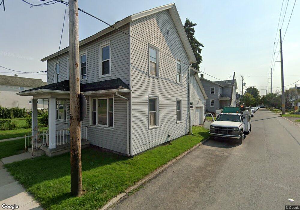
355 Grove St Scranton, PA 18508
The Plot NeighborhoodEstimated Value: $82,000 - $157,000
3
Beds
1
Bath
1,200
Sq Ft
$101/Sq Ft
Est. Value
About This Home
This home is located at 355 Grove St, Scranton, PA 18508 and is currently estimated at $121,333, approximately $101 per square foot. 355 Grove St is a home located in Lackawanna County with nearby schools including Isaac Tripp Elementary School, Northeast Scranton Intermediate School, and Scranton High School.
Ownership History
Date
Name
Owned For
Owner Type
Purchase Details
Closed on
Mar 29, 2018
Sold by
New York Mellon Bank
Bought by
Gafur Ameer and Gafur Lavita
Current Estimated Value
Purchase Details
Closed on
Mar 22, 2018
Sold by
New York Mellon Bank As Ttee For Cit Hom
Bought by
New York Mellon Bank The Successor
Purchase Details
Closed on
Nov 6, 2017
Sold by
Lackawanna County Sheriff
Bought by
Bank Of New York
Purchase Details
Closed on
Sep 15, 1999
Bought by
Whittaker David
Create a Home Valuation Report for This Property
The Home Valuation Report is an in-depth analysis detailing your home's value as well as a comparison with similar homes in the area
Home Values in the Area
Average Home Value in this Area
Purchase History
| Date | Buyer | Sale Price | Title Company |
|---|---|---|---|
| Gafur Ameer | $25,900 | -- | |
| New York Mellon Bank The Successor | $40,020 | -- | |
| Bank Of New York | -- | -- | |
| Whittaker David | -- | -- |
Source: Public Records
Tax History
| Year | Tax Paid | Tax Assessment Tax Assessment Total Assessment is a certain percentage of the fair market value that is determined by local assessors to be the total taxable value of land and additions on the property. | Land | Improvement |
|---|---|---|---|---|
| 2026 | $21,621 | $135,140 | $24,720 | $110,420 |
| 2025 | $1,900 | $6,000 | $800 | $5,200 |
| 2024 | $1,734 | $6,000 | $800 | $5,200 |
| 2023 | $1,734 | $6,000 | $800 | $5,200 |
| 2022 | $1,696 | $6,000 | $800 | $5,200 |
| 2021 | $1,696 | $6,000 | $800 | $5,200 |
| 2020 | $1,664 | $6,000 | $800 | $5,200 |
| 2019 | $1,564 | $6,000 | $800 | $5,200 |
| 2018 | $1,564 | $6,000 | $800 | $5,200 |
| 2017 | $1,536 | $6,000 | $800 | $5,200 |
| 2016 | $449 | $6,000 | $800 | $5,200 |
| 2015 | $819 | $6,000 | $800 | $5,200 |
| 2014 | -- | $6,000 | $800 | $5,200 |
Source: Public Records
Map
Nearby Homes
- 1108-1110 Albright Ave
- 1121 Albright Ave
- 1130 Blair Ave
- 612 Court St
- 724 Court St
- 1116 Diamond Ave
- 817 Court St
- 942 Providence Rd
- 940 Providence Rd
- 938 Providence Rd
- 905 Albright Ave
- 1248 Providence Rd
- 1139 Sanderson Ave
- 1513 Meylert Ave
- 919 Sanderson Ave
- 1441 Sanderson Ave
- 1519 1521 von Storch Ave
- 1406 N Main Ave
- 1132 Lloyd St
- 1135 Lloyd St
- 353 Grove St
- 1113 Cottage Ave
- 352 Grove St
- 1108 Albright Ave
- 1106 Albright Ave
- 1080 Cottage Ave
- 358 Grove St
- 341 Grove St
- 356 Grove St
- 375 Grove St Unit Fl 2
- 375 Grove St Unit Fl 1
- 354 Grove St
- 1102 Albright Ave Unit 1104
- 1080 Albright Ave
- 1075 Cottage Ave
- 1072 Cottage Ave
- 1071 Cottage Ave
- 1076 Albright Ave
- 1128 Albright Ave
- 1067 Cottage Ave
Your Personal Tour Guide
Ask me questions while you tour the home.