355 Hallowell Rd Pownal, ME 04069
Estimated Value: $482,055 - $643,000
--
Bed
--
Bath
1,664
Sq Ft
$341/Sq Ft
Est. Value
About This Home
This home is located at 355 Hallowell Rd, Pownal, ME 04069 and is currently estimated at $566,685, approximately $340 per square foot. 355 Hallowell Rd is a home with nearby schools including Freeport High School.
Ownership History
Date
Name
Owned For
Owner Type
Purchase Details
Closed on
Feb 3, 2025
Sold by
Pervier Roderick
Bought by
Pervier T T and Pervier P
Current Estimated Value
Purchase Details
Closed on
Mar 23, 2021
Sold by
Pervier Roderick D
Bought by
Pervier Roderick and Pervier Beth E
Create a Home Valuation Report for This Property
The Home Valuation Report is an in-depth analysis detailing your home's value as well as a comparison with similar homes in the area
Home Values in the Area
Average Home Value in this Area
Purchase History
| Date | Buyer | Sale Price | Title Company |
|---|---|---|---|
| Pervier T T | -- | None Available | |
| Pervier T T | -- | None Available | |
| Pervier Roderick | -- | None Available | |
| Pervier Roderick | -- | None Available |
Source: Public Records
Tax History Compared to Growth
Tax History
| Year | Tax Paid | Tax Assessment Tax Assessment Total Assessment is a certain percentage of the fair market value that is determined by local assessors to be the total taxable value of land and additions on the property. | Land | Improvement |
|---|---|---|---|---|
| 2024 | $4,826 | $283,900 | $90,200 | $193,700 |
| 2023 | $4,460 | $236,600 | $75,200 | $161,400 |
| 2022 | $4,259 | $236,600 | $75,200 | $161,400 |
| 2021 | $4,259 | $236,600 | $75,200 | $161,400 |
| 2020 | $4,259 | $236,600 | $75,200 | $161,400 |
| 2019 | $4,330 | $236,600 | $75,200 | $161,400 |
| 2018 | $4,259 | $236,600 | $75,200 | $161,400 |
| 2017 | $4,081 | $236,600 | $75,200 | $161,400 |
| 2016 | $3,904 | $236,600 | $75,200 | $161,400 |
| 2015 | $3,598 | $106,600 | $19,100 | $87,500 |
| 2014 | $3,678 | $106,600 | $19,100 | $87,500 |
| 2013 | $3,704 | $106,600 | $19,100 | $87,500 |
Source: Public Records
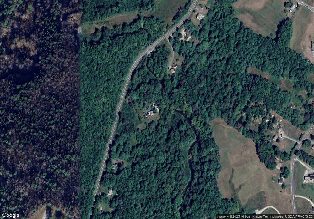
Map
Nearby Homes
- 238 Hallowell Rd
- 162 Merrill Rd
- 118 Royal Rd
- 890 Elmwood Rd
- 244 Allen Rd
- 284 Allen Rd
- 4 Harper's Trail
- 026-01 Dow Ln
- 304 Pownal Rd
- 0 New Gloucester Rd
- 395 New Gloucester Rd
- 850 Lawrence Rd
- 79 Birchwood Terrace
- 137 Durham Rd
- 8 Statler Ln
- 247 Ledge Rd
- 31 Sequoia Dr
- 15 Sequoia Dr
- 143 Bragdon Rd
- 10 Durham Rd
- 381 Hallowell Rd
- 333 Hallowell Rd
- 383 Hallowell Rd
- 321 Hallowell Rd
- 395 Hallowell Rd
- 317 Hallowell Rd
- 686 Hodsdon Rd
- 403 Hallowell Rd
- 672 Hodsdon Rd
- 672 Hodsdon Rd
- 308 Hallowell Rd
- 675 Hodsdon Rd
- 702 Hodsdon Rd
- 689 Hodsdon Rd
- 716 Hodsdon Rd
- 0 Hodsdon Road (Lot A) Unit 1440924
- 438 Elmwood Rd
- 290 Hallowell Rd
- 484 Elmwood Rd
- 0 Hodsdon Road (Lot B) Unit 1440932