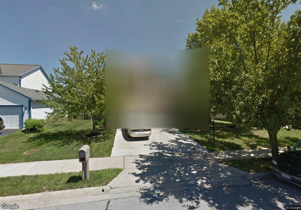
355 Hearthstone Dr Delaware, OH 43015
Estimated Value: $314,000 - $361,000
3
Beds
3
Baths
1,566
Sq Ft
$215/Sq Ft
Est. Value
About This Home
This home is located at 355 Hearthstone Dr, Delaware, OH 43015 and is currently estimated at $336,951, approximately $215 per square foot. 355 Hearthstone Dr is a home located in Delaware County with nearby schools including Robert F. Schultz Elementary School, John C. Dempsey Middle School, and Rutherford B. Hayes High School.
Ownership History
Date
Name
Owned For
Owner Type
Purchase Details
Closed on
Dec 5, 2014
Sold by
Mead Robert D and Mead Stephanie J
Bought by
Mead Robert D and Mead Stephanie J
Current Estimated Value
Home Financials for this Owner
Home Financials are based on the most recent Mortgage that was taken out on this home.
Original Mortgage
$68,570
Outstanding Balance
$22,713
Interest Rate
3.06%
Mortgage Type
New Conventional
Estimated Equity
$314,238
Purchase Details
Closed on
May 21, 1992
Bought by
Mead Robert Dale Stephanie J
Create a Home Valuation Report for This Property
The Home Valuation Report is an in-depth analysis detailing your home's value as well as a comparison with similar homes in the area
Home Values in the Area
Average Home Value in this Area
Purchase History
| Date | Buyer | Sale Price | Title Company |
|---|---|---|---|
| Mead Robert D | -- | First American Title Ins Co | |
| Mead Robert Dale Stephanie J | $18,400 | -- |
Source: Public Records
Mortgage History
| Date | Status | Borrower | Loan Amount |
|---|---|---|---|
| Open | Mead Robert D | $68,570 |
Source: Public Records
Tax History
| Year | Tax Paid | Tax Assessment Tax Assessment Total Assessment is a certain percentage of the fair market value that is determined by local assessors to be the total taxable value of land and additions on the property. | Land | Improvement |
|---|---|---|---|---|
| 2024 | $4,179 | $88,520 | $21,530 | $66,990 |
| 2023 | $4,187 | $88,520 | $21,530 | $66,990 |
| 2022 | $3,599 | $65,980 | $14,700 | $51,280 |
| 2021 | $3,679 | $65,980 | $14,700 | $51,280 |
| 2020 | $3,721 | $65,980 | $14,700 | $51,280 |
| 2019 | $3,214 | $51,700 | $12,250 | $39,450 |
| 2018 | $3,259 | $51,700 | $12,250 | $39,450 |
| 2017 | $3,228 | $46,970 | $9,590 | $37,380 |
| 2016 | $2,702 | $46,970 | $9,590 | $37,380 |
| 2015 | $2,717 | $46,970 | $9,590 | $37,380 |
| 2014 | $2,760 | $46,970 | $9,590 | $37,380 |
| 2013 | $2,775 | $46,970 | $9,590 | $37,380 |
Source: Public Records
Map
Nearby Homes
- 100 Gold Dust Ct
- 112 Silverline Dr
- 100 Quarry Ct
- 440 Steeplechase St
- 181 Delaware Dr
- 865 Canal St
- 195 Lenell Loop
- 345 Lenell Loop
- 238 Richards Dr
- 236 Richards Dr
- 90 Richards Dr
- 10 Penick Ave
- 69 Greenhedge Cir Unit 69
- 0 S Houk Rd
- 123 Schellinger St
- 370 Little Creek Dr Unit 370
- 351 W William St
- 512 Lehner Woods Blvd
- 2098 Us Highway 42 S
- 297 W William St
- 349 Hearthstone Dr
- 361 Hearthstone Dr
- 343 Hearthstone Dr
- 367 Hearthstone Dr
- 524 Boulder Dr
- 530 Boulder Dr
- 520 Boulder Dr
- 356 Hearthstone Dr
- 526 Boulder Dr
- 532 Boulder Dr
- 350 Hearthstone Dr
- 337 Hearthstone Dr
- 373 Hearthstone Dr
- 512 Boulder Dr
- 536 Boulder Dr
- 536 Boulder Dr Unit 536-538
- 368 Hearthstone Dr
- 344 Hearthstone Dr
- 506 Boulder Dr
- 381 Hearthstone Dr
Your Personal Tour Guide
Ask me questions while you tour the home.