355 Mohegan Cir Unit 355 Lafayette, NJ 07848
Andover Township NeighborhoodEstimated Value: $218,000 - $238,549
--
Bed
--
Bath
1,008
Sq Ft
$225/Sq Ft
Est. Value
About This Home
This home is located at 355 Mohegan Cir Unit 355, Lafayette, NJ 07848 and is currently estimated at $226,637, approximately $224 per square foot. 355 Mohegan Cir Unit 355 is a home located in Sussex County with nearby schools including Florence M. Burd School, Long Pond School, and Reverand George A. Brown School.
Ownership History
Date
Name
Owned For
Owner Type
Purchase Details
Closed on
Aug 21, 2025
Sold by
Jane F Mccartney Qualified Personal Resi and Mccartney Joseph
Bought by
Berger Nicole M
Current Estimated Value
Home Financials for this Owner
Home Financials are based on the most recent Mortgage that was taken out on this home.
Original Mortgage
$177,600
Outstanding Balance
$177,442
Interest Rate
6.58%
Mortgage Type
New Conventional
Estimated Equity
$49,195
Purchase Details
Closed on
May 21, 2025
Sold by
Mccartney Jane
Bought by
Jane F Mccartney Qualified Personal Residence and Mccartney
Purchase Details
Closed on
Aug 6, 2014
Sold by
Mccartney Damian L
Bought by
Mccartney Jane
Purchase Details
Closed on
Jul 13, 2006
Sold by
Ulmer Linda L and Minneker Edgar F
Bought by
Mccartney Damian L
Home Financials for this Owner
Home Financials are based on the most recent Mortgage that was taken out on this home.
Original Mortgage
$55,000
Interest Rate
5.75%
Mortgage Type
Purchase Money Mortgage
Purchase Details
Closed on
May 8, 1996
Sold by
Amsouth Bank Of Florida
Bought by
Ulmer Linda L
Home Financials for this Owner
Home Financials are based on the most recent Mortgage that was taken out on this home.
Original Mortgage
$33,600
Interest Rate
7.67%
Create a Home Valuation Report for This Property
The Home Valuation Report is an in-depth analysis detailing your home's value as well as a comparison with similar homes in the area
Home Values in the Area
Average Home Value in this Area
Purchase History
| Date | Buyer | Sale Price | Title Company |
|---|---|---|---|
| Berger Nicole M | $222,000 | Title On Demand | |
| Jane F Mccartney Qualified Personal Residence | -- | None Listed On Document | |
| Jane F Mccartney Qualified Personal Residence | -- | None Listed On Document | |
| Mccartney Jane | -- | None Available | |
| Mccartney Damian L | $150,000 | None Available | |
| Ulmer Linda L | $42,000 | -- |
Source: Public Records
Mortgage History
| Date | Status | Borrower | Loan Amount |
|---|---|---|---|
| Open | Berger Nicole M | $177,600 | |
| Previous Owner | Mccartney Damian L | $55,000 | |
| Previous Owner | Ulmer Linda L | $33,600 |
Source: Public Records
Tax History Compared to Growth
Tax History
| Year | Tax Paid | Tax Assessment Tax Assessment Total Assessment is a certain percentage of the fair market value that is determined by local assessors to be the total taxable value of land and additions on the property. | Land | Improvement |
|---|---|---|---|---|
| 2025 | $2,920 | $69,300 | $32,500 | $36,800 |
| 2024 | $2,814 | $69,300 | $32,500 | $36,800 |
| 2023 | $2,814 | $69,300 | $32,500 | $36,800 |
| 2022 | $2,697 | $69,300 | $32,500 | $36,800 |
| 2021 | $2,658 | $69,300 | $32,500 | $36,800 |
| 2020 | $2,590 | $69,300 | $32,500 | $36,800 |
| 2019 | $2,529 | $69,300 | $32,500 | $36,800 |
| 2018 | $2,490 | $69,300 | $32,500 | $36,800 |
| 2017 | $2,437 | $69,300 | $32,500 | $36,800 |
| 2016 | $2,358 | $69,300 | $32,500 | $36,800 |
| 2015 | $3,420 | $96,000 | $40,000 | $56,000 |
| 2014 | $3,346 | $96,000 | $40,000 | $56,000 |
Source: Public Records
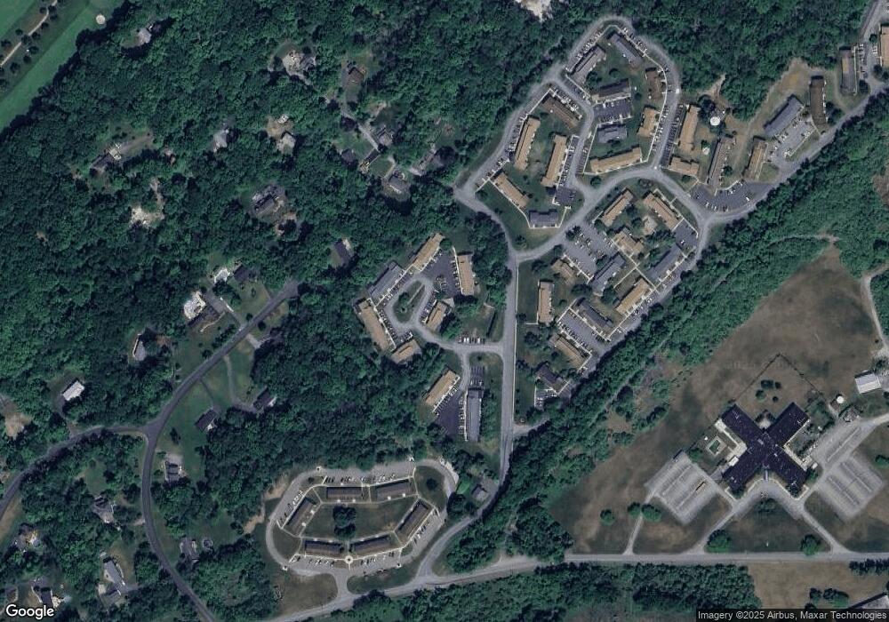
Map
Nearby Homes
- 11 Cheyenne Rd Unit 11
- 226 Cherokee Rd Unit 226
- 293 Cheyenne Rd Unit 293
- 994 Limecrest Rd
- 1 Southdown Dr
- 18 Dorset Ln
- 160 Newton Sparta Rd
- 133 Hillside Dr
- 130 Lake Iliff Rd
- 000 Florence Ln
- 12 Goodale Rd
- 108 Hillside Dr
- 14 Luchetti Way
- 21 Starrett Ct
- 4 Garry Ln
- 68 Fox Hollow Rd
- 14 Kimberly Ct
- 70 Goodale Rd
- 18 Lincoln Place
- 68 & 70 Goodale Rd (5 9 Acres)
- 354 Mohegan Cir Unit 354
- 353 Mohegan Cir Unit 353
- 352 Mohegan Cir Unit 352
- 351 Mohegan Cir Unit 351
- 350 Mohegan CI
- 350 Mohegan Cir Unit 350
- 404 Mohegan CI
- 401 Mohegan CI
- 360 Mohegan Cir Unit 360
- 361 Mohegan Cir Unit 361
- 362 Mohegan Cir Unit 362
- 405 Mohegan CI
- 373 Mohegan CI Unit 373
- 363 Mohegan Cir Unit 363
- 380 Mohegan CI
- 381 Mohegan CI
- 364 Mohegan Cir Unit 364
- 404 Mohegan Cir Unit 40
- 405 Mohegan Cir Unit 405
- 365 Mohegan Cir Unit 365