355 Mount Mitchell Way Alpharetta, GA 30022
Estimated Value: $678,000 - $775,139
4
Beds
4
Baths
3,823
Sq Ft
$187/Sq Ft
Est. Value
About This Home
This home is located at 355 Mount Mitchell Way, Alpharetta, GA 30022 and is currently estimated at $716,535, approximately $187 per square foot. 355 Mount Mitchell Way is a home located in Fulton County with nearby schools including Barnwell Elementary School, Haynes Bridge Middle School, and Centennial High School.
Ownership History
Date
Name
Owned For
Owner Type
Purchase Details
Closed on
Jul 26, 2001
Sold by
Thomas Noelle
Bought by
Tavares Victoria M and Tavares Adriana R
Current Estimated Value
Home Financials for this Owner
Home Financials are based on the most recent Mortgage that was taken out on this home.
Original Mortgage
$220,800
Interest Rate
6.97%
Mortgage Type
New Conventional
Purchase Details
Closed on
Sep 22, 1999
Sold by
Whitis Warren J
Bought by
Whitis Warren J and Whitis Corrine S
Home Financials for this Owner
Home Financials are based on the most recent Mortgage that was taken out on this home.
Original Mortgage
$75,646
Interest Rate
7.85%
Mortgage Type
New Conventional
Create a Home Valuation Report for This Property
The Home Valuation Report is an in-depth analysis detailing your home's value as well as a comparison with similar homes in the area
Home Values in the Area
Average Home Value in this Area
Purchase History
| Date | Buyer | Sale Price | Title Company |
|---|---|---|---|
| Tavares Victoria M | $280,000 | -- | |
| Whitis Warren J | $255,000 | -- |
Source: Public Records
Mortgage History
| Date | Status | Borrower | Loan Amount |
|---|---|---|---|
| Previous Owner | Tavares Victoria M | $220,800 | |
| Previous Owner | Whitis Warren J | $75,646 |
Source: Public Records
Tax History Compared to Growth
Tax History
| Year | Tax Paid | Tax Assessment Tax Assessment Total Assessment is a certain percentage of the fair market value that is determined by local assessors to be the total taxable value of land and additions on the property. | Land | Improvement |
|---|---|---|---|---|
| 2025 | $5,206 | $238,400 | $64,840 | $173,560 |
| 2023 | $7,417 | $262,760 | $48,120 | $214,640 |
| 2022 | $5,016 | $262,760 | $48,120 | $214,640 |
| 2021 | $4,954 | $209,400 | $35,800 | $173,600 |
| 2020 | $4,988 | $206,920 | $35,400 | $171,520 |
| 2019 | $614 | $184,240 | $37,960 | $146,280 |
| 2018 | $5,155 | $179,880 | $37,040 | $142,840 |
| 2017 | $4,918 | $160,880 | $33,200 | $127,680 |
| 2016 | $4,817 | $160,880 | $33,200 | $127,680 |
| 2015 | $4,869 | $160,880 | $33,200 | $127,680 |
| 2014 | $3,621 | $115,720 | $19,800 | $95,920 |
Source: Public Records
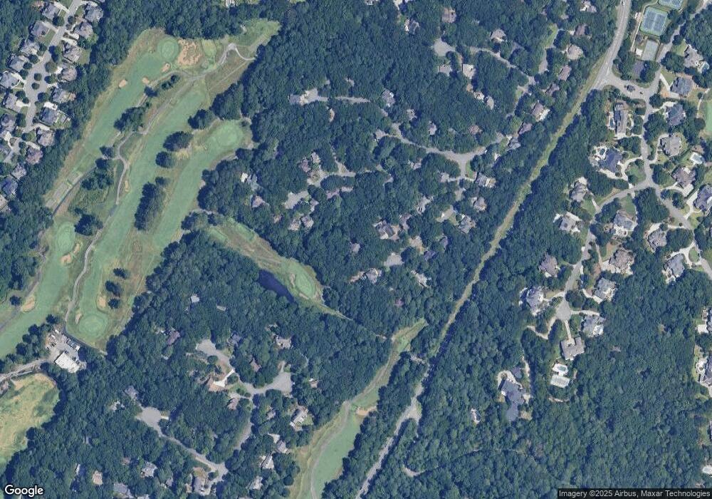
Map
Nearby Homes
- 340 Mount Mitchell Way
- 352 N Peak Dr
- 1050 Bedford Gardens Dr
- 8870 Old Southwick Pass
- 150 Stoney Ridge Dr
- 235 Stoney Ridge Dr
- 1055 Leadenhall St
- 8870 Glen Ferry Dr Unit 1
- 2045 Northwick Pass Way
- 1285 Stuart Ridge
- 9245 Brumbelow Rd
- 3235 Arborwoods Dr
- 3450 Merganser Ln
- 835 Kings Arms Way
- 9005 Old Southwick Pass
- 6092 Carlisle Ln
- 8800 Glen Ferry Dr
- 345 Mount Mitchell Way
- 365 Mount Mitchell Way
- 550 Kings Peak Dr
- 580 Kings Peak Dr
- 540 Kings Peak Dr
- 530 Kings Peak Dr
- 335 Mount Mitchell Way
- 590 Kings Peak Dr
- 0 Kings Peak Dr Unit 7262125
- 0 Kings Peak Dr Unit 7230728
- 0 Kings Peak Dr Unit 7605350
- 0 Kings Peak Dr Unit 8632837
- 0 Kings Peak Dr Unit 8593015
- 0 Kings Peak Dr Unit 8368519
- 0 Kings Peak Dr Unit 7427377
- 0 Kings Peak Dr Unit 7533470
- 0 Kings Peak Dr Unit 3156978
- 510 Kings Peak Dr
- 360 Mount Mitchell Way Unit 3
- 350 Mount Mitchell Way Unit 3