355 N Quinley Ave Merced, CA 95341
Estimated Value: $389,000 - $719,000
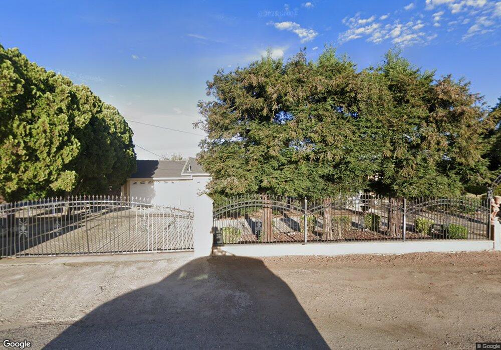
About This Home
This home is located at 355 N Quinley Ave, Merced, CA 95341 and is currently estimated at $522,382, approximately $262 per square foot. 355 N Quinley Ave is a home located in Merced County with nearby schools including McSwain Elementary School and Buhach Colony High School.
Ownership History
We collect this data history from publicly available records. To have your information removed, we recommend requesting removal directly through your county’s website.
Purchase Details
Home Financials for this Owner
Home Financials are based on the most recent Mortgage that was taken out on this home.Purchase History
We collect this data history from publicly available records. To have your information removed, we recommend requesting removal directly through your county’s website.
| Date | Buyer | Sale Price | Title Company |
|---|---|---|---|
| $155,000 | Transcounty Title Company |
Mortgage History
We collect this data history from publicly available records. To have your information removed, we recommend requesting removal directly through your county’s website.
| Date | Status | Borrower | Loan Amount |
|---|---|---|---|
| Open | $108,500 |
Tax History
We collect this data history from publicly available records. To have your information removed, we recommend requesting removal directly through your county’s website.
| Year | Tax Paid | Tax Assessment Tax Assessment Total Assessment is a certain percentage of the fair market value that is determined by local assessors to be the total taxable value of land and additions on the property. | Land | Improvement |
|---|---|---|---|---|
| 2025 | $748 | $60,492 | $6,711 | $53,781 |
| 2024 | $721 | $59,307 | $6,580 | $52,727 |
| 2023 | $758 | $58,145 | $6,451 | $51,694 |
| 2022 | $748 | $57,006 | $6,325 | $50,681 |
| 2021 | $744 | $55,889 | $6,201 | $49,688 |
| 2020 | $736 | $55,317 | $6,138 | $49,179 |
| 2019 | $722 | $54,233 | $6,018 | $48,215 |
| 2018 | $708 | $53,170 | $5,900 | $47,270 |
| 2017 | $651 | $52,129 | $5,785 | $46,344 |
| 2016 | $643 | $51,108 | $5,672 | $45,436 |
| 2015 | $636 | $50,341 | $5,587 | $44,754 |
| 2014 | $624 | $49,356 | $5,478 | $43,878 |
Map
- 6410 Stockton Ave
- 6291 Yorkshire Dr
- 5704 W State Highway 140
- 1371 Shady Cove Ave
- 0 Queen Elizabeth Dr
- 5261 Lucille Ave
- 5261 W Lucille Ln
- 1733 Komos Ct
- 0 Moran Ave
- 2117 Julia Ln
- 1176 Persimmon Way
- 2484 Sierra Springs Ct
- 0 Bloss Ave & Sycamore St Unit MC26077683
- 2591 N Giannini Rd
- 2651 Herrod Ave
- 5931 Presidio Ct
- 2671 Sandy Ct
- 2696 Clydesdale Ave
- 2826 Clydesdale Ave
- 0 Green Sands Ave Unit MC22098863
- 5995 W Brooks Rd
- 5951 W Brooks Rd
- 180 N Quinley Ave
- 5859 W Brooks Rd
- 156 N Quinley Ave
- 6360 Stockton Ave
- 5774 Bailey Ave
- 5600 Bailey Ave
- 6267 State Highway 140
- 5973 Highway 140
- 6098 Mcswain Rd
- 0 Mcswain Rd
- 6185 Yorkshire Dr
- 5786 W State Highway 140
- 6211 Yorkshire Dr
- 6249 Yorkshire Dr
- 1052 Stratford Ave
- 6660 Bailey Rd
- 5697 W State Highway 140
- 5704 Mcswain Rd
Ask me questions while you tour the home.