Estimated Value: $333,663 - $477,000
--
Bed
3
Baths
2,244
Sq Ft
$184/Sq Ft
Est. Value
About This Home
This home is located at 355 Red Oak Airpark, Cabot, AR 72023 and is currently estimated at $413,416, approximately $184 per square foot. 355 Red Oak Airpark is a home located in Lonoke County with nearby schools including Southside Elementary School, Cabot Middle School South, and Cabot Junior High South.
Ownership History
Date
Name
Owned For
Owner Type
Purchase Details
Closed on
Jan 21, 2010
Sold by
Nigro Timothy and Nigro Tracy A
Bought by
Allen Dean C and Allen Julie A
Current Estimated Value
Purchase Details
Closed on
Jan 12, 2010
Sold by
Nigro Timothy and Nigro Tracy A
Bought by
Allen Dean C and Allen Julie A
Purchase Details
Closed on
Feb 4, 2003
Bought by
Nigro and Nigro Wf
Purchase Details
Closed on
Jul 12, 2001
Bought by
Protective Covenants Plat D and Protective 44
Create a Home Valuation Report for This Property
The Home Valuation Report is an in-depth analysis detailing your home's value as well as a comparison with similar homes in the area
Home Values in the Area
Average Home Value in this Area
Purchase History
| Date | Buyer | Sale Price | Title Company |
|---|---|---|---|
| Allen Dean C | -- | -- | |
| Allen Dean C | -- | -- | |
| Nigro | $43,000 | -- | |
| Nigro | $43,000 | -- | |
| Protective Covenants Plat D | -- | -- |
Source: Public Records
Tax History Compared to Growth
Tax History
| Year | Tax Paid | Tax Assessment Tax Assessment Total Assessment is a certain percentage of the fair market value that is determined by local assessors to be the total taxable value of land and additions on the property. | Land | Improvement |
|---|---|---|---|---|
| 2025 | $1,929 | $60,050 | $8,800 | $51,250 |
| 2024 | $1,929 | $60,050 | $8,800 | $51,250 |
| 2023 | $1,929 | $51,290 | $8,800 | $42,490 |
| 2022 | $1,979 | $51,290 | $8,800 | $42,490 |
| 2021 | $1,979 | $51,290 | $8,800 | $42,490 |
| 2020 | $1,889 | $49,320 | $8,800 | $40,520 |
| 2019 | $1,889 | $49,320 | $8,800 | $40,520 |
| 2018 | $1,914 | $49,320 | $8,800 | $40,520 |
| 2017 | $2,089 | $49,320 | $8,800 | $40,520 |
| 2016 | $1,911 | $49,320 | $8,800 | $40,520 |
| 2015 | $1,804 | $46,920 | $8,800 | $38,120 |
| 2014 | $1,804 | $46,920 | $8,800 | $38,120 |
Source: Public Records
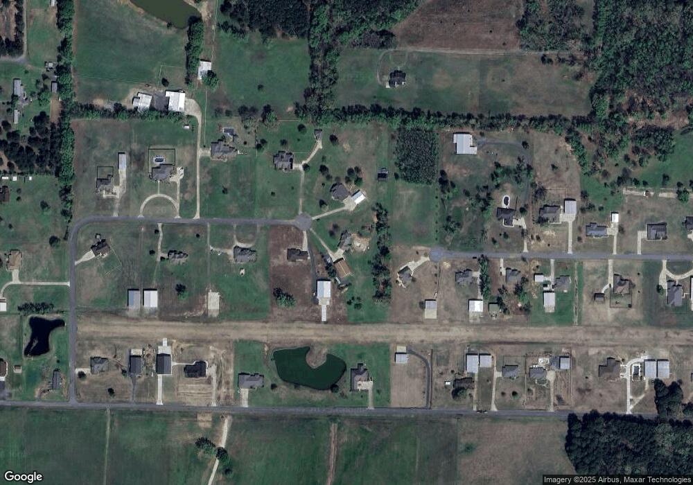
Map
Nearby Homes
- 4755 Arkansas 89
- 4755 A- Ar Hwy 89 S
- 1064 Oliver Ln
- 75 Chickadee Cove
- 84 Springwood Ct
- 29 Calvados Ct
- 28 Calvados Ct
- 33 Ravell Rd
- 11 Calvados Ct
- 232 Sunset Cir
- 97 Summerwood Dr
- 11 Brixton
- 30 Ravell
- 21 Wolfsbridge Loop
- 19 Wolfsbridge Loop
- 17 Wolfsbridge Loop
- 15 Wolfsbridge Loop
- 000 Poppy Ln
- 29 Mcclellan Dr
- 19 Aberdeen Dr
- 350 Red Oak Airpark
- 335 Red Oak Airpark
- 405 Barrett Ln
- 320 Red Oak Airpark
- 285 Red Oak Airpark
- 345 Barrett Ln
- 430 Oliver Ln
- 328 Barrett Ln
- 380 Oliver Ln
- 270 Red Oak Airpark
- 235 Red Oak Airpark
- 520 Oliver Ln
- 325 Barrett Ln
- 185 Marvin Way
- 258 Barrett Ln
- 340 Oliver Ln
- 580 Oliver Ln
- 210 Red Oak Airpark
- 310 Oliver Ln
- 0 Barrett Ln Unit 17003970