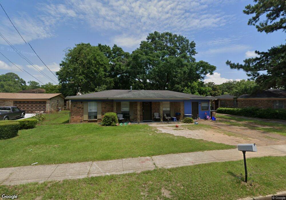
355 S Cedar St Mobile, AL 36603
Texas Street NeighborhoodEstimated Value: $136,000 - $297,000
Studio
2
Baths
1,080
Sq Ft
$211/Sq Ft
Est. Value
About This Home
This home is located at 355 S Cedar St, Mobile, AL 36603 and is currently estimated at $227,423, approximately $210 per square foot. 355 S Cedar St is a home located in Mobile County with nearby schools including Erwin Craighead Elementary School, Calloway Smith Middle School, and Murphy High School.
Ownership History
Date
Name
Owned For
Owner Type
Purchase Details
Closed on
May 23, 2025
Sold by
Dnb Properties Llc
Bought by
Honu Properties Iii Llc
Current Estimated Value
Home Financials for this Owner
Home Financials are based on the most recent Mortgage that was taken out on this home.
Original Mortgage
$240,000
Outstanding Balance
$215,574
Interest Rate
6.03%
Mortgage Type
New Conventional
Estimated Equity
$11,849
Purchase Details
Closed on
Sep 5, 2007
Sold by
Penn George and Penn Patricia
Bought by
Mcconnell Michelle
Create a Home Valuation Report for This Property
The Home Valuation Report is an in-depth analysis detailing your home's value as well as a comparison with similar homes in the area
Home Values in the Area
Average Home Value in this Area
Purchase History
| Date | Buyer | Sale Price | Title Company |
|---|---|---|---|
| Honu Properties Iii Llc | $300,000 | None Listed On Document | |
| Mcconnell Michelle | -- | None Available |
Source: Public Records
Mortgage History
| Date | Status | Borrower | Loan Amount |
|---|---|---|---|
| Open | Honu Properties Iii Llc | $240,000 |
Source: Public Records
Tax History Compared to Growth
Tax History
| Year | Tax Paid | Tax Assessment Tax Assessment Total Assessment is a certain percentage of the fair market value that is determined by local assessors to be the total taxable value of land and additions on the property. | Land | Improvement |
|---|---|---|---|---|
| 2025 | $742 | $11,520 | $1,280 | $10,240 |
| 2024 | $742 | $13,000 | $1,920 | $11,080 |
| 2023 | $782 | $12,320 | $1,940 | $10,380 |
| 2022 | $771 | $12,140 | $1,760 | $10,380 |
| 2021 | $771 | $12,140 | $1,760 | $10,380 |
| 2020 | $771 | $12,140 | $1,760 | $10,380 |
| 2019 | $695 | $10,940 | $1,600 | $9,340 |
| 2018 | $695 | $10,940 | $0 | $0 |
| 2017 | $695 | $10,940 | $0 | $0 |
| 2016 | $306 | $5,880 | $0 | $0 |
| 2013 | $242 | $4,660 | $0 | $0 |
Source: Public Records
Map
Nearby Homes
- 249 S Warren St
- 208 S Warren St Unit 1
- 210 S Cedar St
- 150 S Dearborn St
- 709 Dauphin St Unit 1
- 916 Church St Unit Lot 6
- 916 Church St Unit Lot 7
- 800 Dauphin St
- 352 Marine St
- 101 Marine St
- 456 S Broad St
- 753 Saint Francis St Unit 3003
- 109 Marine St
- 105 Marine St
- 928 Government St
- 932 Government St
- 936 Government St
- 753 St Francis St Unit 3001B
- 753 St Francis St Unit 2003A
- 753 St Francis St Unit 3003B
- 357 S Cedar St
- 505 Palmetto St
- 354 S Lawrence St
- 508 Charleston St
- 356 S Lawrence St
- 352 S Lawrence St
- 504 Charleston St
- 354 S Cedar St
- 350 S Cedar St
- 356 S Cedar St
- 350 S Lawrence St
- 550 Charleston St
- 358 S Lawrence St
- 552 Charleston St
- 508 Palmetto St
- 555 Palmetto St
- 504 Palmetto St
- 305 S Warren St
- 308 S Cedar St
- 307 S Warren St