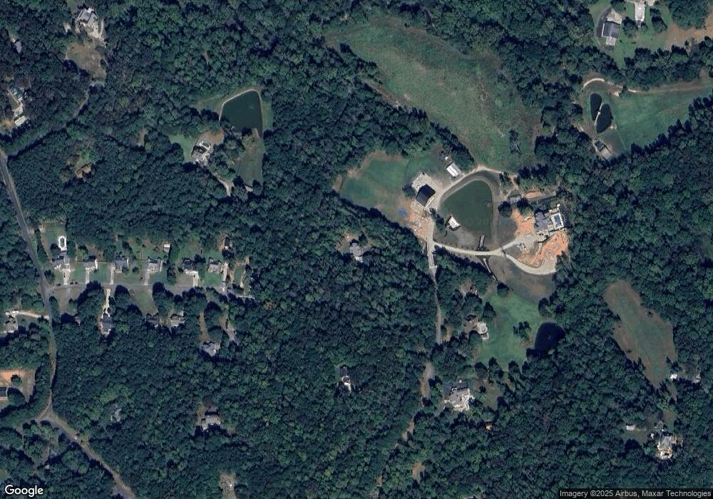
355 Spring Branch Dr Canton, GA 30115
Union Hill NeighborhoodEstimated Value: $888,000 - $1,168,000
5
Beds
5
Baths
5,070
Sq Ft
$208/Sq Ft
Est. Value
About This Home
This home is located at 355 Spring Branch Dr, Canton, GA 30115 and is currently estimated at $1,053,513, approximately $207 per square foot. 355 Spring Branch Dr is a home located in Cherokee County with nearby schools including Indian Knoll Elementary School, Rusk Middle School, and Sequoyah High School.
Ownership History
Date
Name
Owned For
Owner Type
Purchase Details
Closed on
Mar 18, 2003
Sold by
Brucker Jon K
Bought by
Brucker Jon K and Brucker Lara
Current Estimated Value
Home Financials for this Owner
Home Financials are based on the most recent Mortgage that was taken out on this home.
Original Mortgage
$130,500
Interest Rate
5.82%
Mortgage Type
New Conventional
Create a Home Valuation Report for This Property
The Home Valuation Report is an in-depth analysis detailing your home's value as well as a comparison with similar homes in the area
Home Values in the Area
Average Home Value in this Area
Purchase History
| Date | Buyer | Sale Price | Title Company |
|---|---|---|---|
| Brucker Jon K | -- | -- | |
| Brucker Jon K | -- | -- |
Source: Public Records
Mortgage History
| Date | Status | Borrower | Loan Amount |
|---|---|---|---|
| Closed | Brucker Jon K | $130,500 |
Source: Public Records
Tax History Compared to Growth
Tax History
| Year | Tax Paid | Tax Assessment Tax Assessment Total Assessment is a certain percentage of the fair market value that is determined by local assessors to be the total taxable value of land and additions on the property. | Land | Improvement |
|---|---|---|---|---|
| 2025 | $8,599 | $371,876 | $106,440 | $265,436 |
| 2024 | $7,933 | $338,584 | $85,920 | $252,664 |
| 2023 | $6,739 | $302,508 | $69,280 | $233,228 |
| 2022 | $6,384 | $261,432 | $66,520 | $194,912 |
| 2021 | $5,891 | $217,396 | $55,440 | $161,956 |
| 2020 | $5,448 | $198,080 | $55,440 | $142,640 |
| 2019 | $5,157 | $185,000 | $55,440 | $129,560 |
| 2018 | $5,171 | $184,320 | $55,440 | $128,880 |
| 2017 | $4,878 | $428,900 | $46,200 | $125,360 |
| 2016 | $4,449 | $387,800 | $39,200 | $115,920 |
| 2015 | $3,814 | $330,100 | $37,800 | $94,240 |
| 2014 | $3,546 | $306,700 | $30,800 | $91,880 |
Source: Public Records
Map
Nearby Homes
- 601 Scott Rd
- 1017 Avery Rd
- 1021 Avery Rd
- 2099 Scott Rd
- 322 Evie Ln
- 3548 Cherokee Overlook Dr
- 258 Arliss Dr
- 331 Evie Ln
- 320 Evie Ln
- 2790 Hickory Flat Hwy
- Dunning III Plan at Autumn Brook
- Rosehaven III Plan at Autumn Brook
- Rosehaven Plan at Autumn Brook
- Chatfield Plan at Autumn Brook
- Dunning Plan at Autumn Brook
- Sherwood Plan at Autumn Brook
- 667 B Avery Rd
- 365 Russell King Ln
- 253 Newt Fowler Ln
- 160 Scott Rd
- 325 Hideaway Acres
- 321 Spring Branch Dr
- 344 Spring Branch Dr
- 321 Hideaway Acres
- 321 Hideaway Acres
- 320 Hideaway Acres
- 317 Hideaway Acres
- 342 Spring Branch Dr
- 316 Hideaway Acres
- 158 Daniel Ct
- 375 Spring Branch Dr
- 312 Hideaway Acres
- 313 Hideaway Acres
- 308 Hideaway Acres
- 225 Karina Place
- 309 Hideaway Acres
- 178 Daniel Ct
- 304 Hideaway Acres
- 0 Spring Branch Dr Unit 7244580
- 0 Spring Branch Dr Unit 8492042
