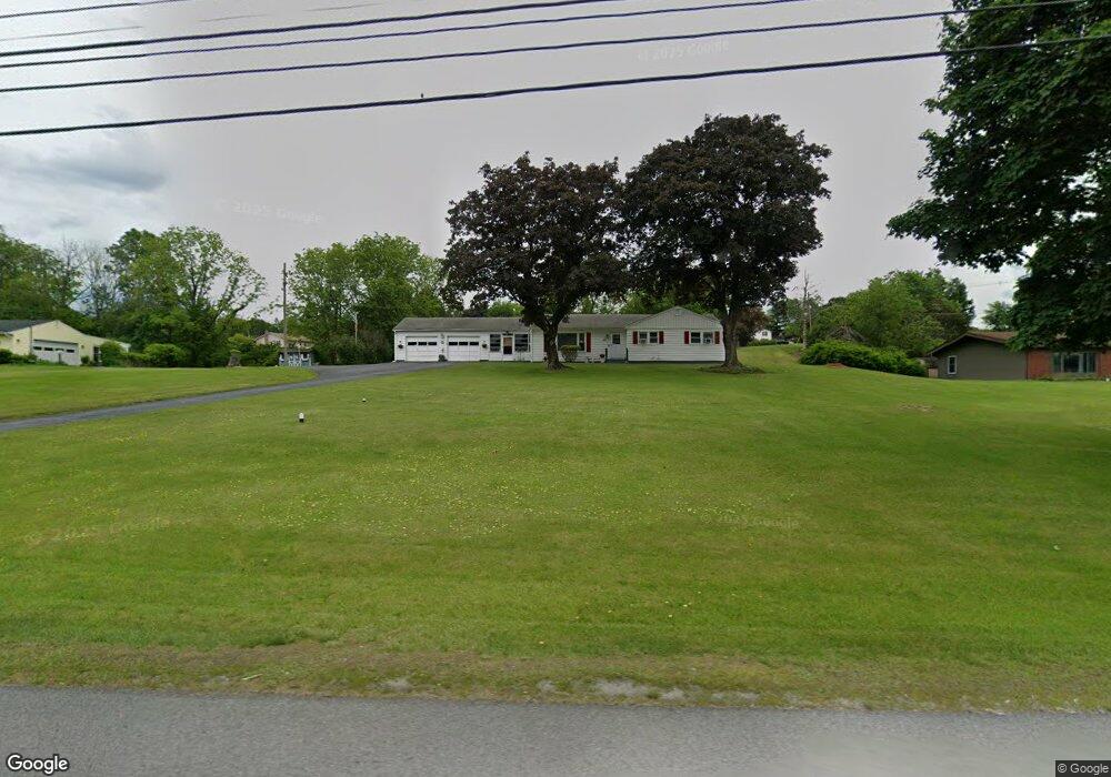
355 State Route 94 S Newton, NJ 07860
Estimated Value: $400,029 - $427,000
--
Bed
--
Bath
1,378
Sq Ft
$300/Sq Ft
Est. Value
About This Home
This home is located at 355 State Route 94 S, Newton, NJ 07860 and is currently estimated at $414,007, approximately $300 per square foot. 355 State Route 94 S is a home located in Sussex County with nearby schools including Fredon Township School, Kittatinny Regional High School, and Northwest Christian School.
Ownership History
Date
Name
Owned For
Owner Type
Purchase Details
Closed on
Jul 23, 2025
Sold by
Bodine Thomas J
Bought by
Merring Raymond and Merring Shawna
Current Estimated Value
Home Financials for this Owner
Home Financials are based on the most recent Mortgage that was taken out on this home.
Original Mortgage
$403,539
Outstanding Balance
$402,850
Interest Rate
6.81%
Mortgage Type
New Conventional
Estimated Equity
$11,157
Purchase Details
Closed on
Feb 25, 2010
Sold by
Pooley William H and Pooley Virginia L
Bought by
Bodine Thomas J
Home Financials for this Owner
Home Financials are based on the most recent Mortgage that was taken out on this home.
Original Mortgage
$240,562
Interest Rate
5.5%
Mortgage Type
FHA
Purchase Details
Closed on
Jan 17, 2005
Sold by
Pooley William H
Bought by
Pooley William H and Pooley Virginia L
Create a Home Valuation Report for This Property
The Home Valuation Report is an in-depth analysis detailing your home's value as well as a comparison with similar homes in the area
Home Values in the Area
Average Home Value in this Area
Purchase History
| Date | Buyer | Sale Price | Title Company |
|---|---|---|---|
| Merring Raymond | $424,777 | Elite Title Group | |
| Merring Raymond | $424,777 | Elite Title Group | |
| Bodine Thomas J | $245,000 | Countryside Title Agency Inc | |
| Pooley William H | -- | -- |
Source: Public Records
Mortgage History
| Date | Status | Borrower | Loan Amount |
|---|---|---|---|
| Open | Merring Raymond | $403,539 | |
| Closed | Merring Raymond | $403,539 | |
| Previous Owner | Bodine Thomas J | $240,562 |
Source: Public Records
Tax History Compared to Growth
Tax History
| Year | Tax Paid | Tax Assessment Tax Assessment Total Assessment is a certain percentage of the fair market value that is determined by local assessors to be the total taxable value of land and additions on the property. | Land | Improvement |
|---|---|---|---|---|
| 2025 | $6,645 | $213,200 | $79,600 | $133,600 |
| 2024 | $6,364 | $213,200 | $79,600 | $133,600 |
| 2023 | $6,364 | $213,200 | $79,600 | $133,600 |
| 2022 | $6,236 | $213,200 | $79,600 | $133,600 |
| 2021 | $6,377 | $213,200 | $79,600 | $133,600 |
| 2020 | $6,343 | $213,200 | $79,600 | $133,600 |
| 2019 | $6,264 | $213,200 | $79,600 | $133,600 |
| 2018 | $6,157 | $213,200 | $79,600 | $133,600 |
| 2017 | $6,183 | $213,200 | $79,600 | $133,600 |
| 2016 | $6,127 | $213,200 | $79,600 | $133,600 |
| 2015 | $5,933 | $213,200 | $79,600 | $133,600 |
| 2014 | $5,833 | $213,200 | $79,600 | $133,600 |
Source: Public Records
Map
Nearby Homes
- 20 Anderson Hill Rd
- 63 Van Horn Rd
- 208 Willows Rd
- 5 Babbitt Ct
- 11 Betony Ct
- 30 Old Swartswood Rd
- 13 Summit Ave
- 21 Carriage Ln Unit 21
- 40 Carriage Ln Unit 40
- 67 Ryerson Ave
- 51 Paulinskill Lake Rd
- 219 Woodside Ave
- 41 Plainfield Ave
- 76 Carriage Ln Unit 76
- 37 Foster St
- 0 W Nelson St
- 907 Meadowbrook Rd
- 5 Clarkson St
- 965 Cedar Dr
- 103 Woodside Ave
- 357 State Route 94 S
- 353 State Route 94 S
- 3 Hilltop Rd
- 2 Sunset Ln
- 359 State Route 94 S
- 2 Hilltop Rd
- 5 Hilltop Rd
- 5 Hilltop Rd
- 349 State Route 94 S
- 4 Sunset Ln
- 4 Hilltop Rd
- 4 Hilltop Rd
- 3 Sunset Ln
- 7 Hilltop Rd
- 6 Sunset Ln
- 6 Hilltop Rd
- 350 State Route 94 S
- 5 Sunset Ln
- 1 Running Hills Dr
- 9 Hilltop Rd