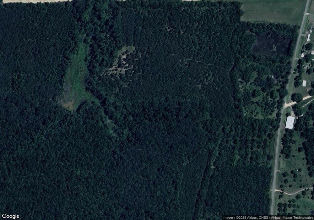
355 Trinity Rd Whigham, GA 39897
Estimated Value: $282,000 - $876,000
Studio
1
Bath
1,920
Sq Ft
$316/Sq Ft
Est. Value
About This Home
This home is located at 355 Trinity Rd, Whigham, GA 39897 and is currently estimated at $607,103, approximately $316 per square foot. 355 Trinity Rd is a home.
Ownership History
Date
Name
Owned For
Owner Type
Purchase Details
Closed on
Mar 25, 2009
Sold by
Strano Joyce
Bought by
Dakotah Farms Llc
Current Estimated Value
Home Financials for this Owner
Home Financials are based on the most recent Mortgage that was taken out on this home.
Original Mortgage
$350,000
Interest Rate
5.14%
Mortgage Type
Purchase Money Mortgage
Purchase Details
Closed on
Oct 31, 2007
Sold by
Mays David B
Bought by
Mays David B and Mays Strano Joyce
Purchase Details
Closed on
Nov 18, 2005
Sold by
Strickland Harrell Lee
Bought by
Mays Daivd B
Home Financials for this Owner
Home Financials are based on the most recent Mortgage that was taken out on this home.
Original Mortgage
$360,000
Interest Rate
6.04%
Mortgage Type
New Conventional
Purchase Details
Closed on
Feb 13, 1973
Bought by
Strickland A Q Mrs
Create a Home Valuation Report for This Property
The Home Valuation Report is an in-depth analysis detailing your home's value as well as a comparison with similar homes in the area
Purchase History
| Date | Buyer | Sale Price | Title Company |
|---|---|---|---|
| Dakotah Farms Llc | $600,000 | -- | |
| Mays David B | -- | -- | |
| Mays Daivd B | $468,860 | -- | |
| Strickland A Q Mrs | -- | -- |
Source: Public Records
Mortgage History
| Date | Status | Borrower | Loan Amount |
|---|---|---|---|
| Closed | Dakotah Farms Llc | $350,000 | |
| Previous Owner | Mays Daivd B | $360,000 |
Source: Public Records
Tax History
| Year | Tax Paid | Tax Assessment Tax Assessment Total Assessment is a certain percentage of the fair market value that is determined by local assessors to be the total taxable value of land and additions on the property. | Land | Improvement |
|---|---|---|---|---|
| 2024 | $4,784 | $175,324 | $146,150 | $29,174 |
| 2023 | $3,823 | $124,195 | $102,875 | $21,320 |
| 2022 | $3,823 | $124,195 | $102,875 | $21,320 |
| 2021 | $3,836 | $124,195 | $102,875 | $21,320 |
| 2020 | $3,849 | $124,195 | $102,875 | $21,320 |
| 2019 | $3,849 | $124,195 | $102,875 | $21,320 |
| 2018 | $3,613 | $124,195 | $102,875 | $21,320 |
| 2017 | $3,439 | $124,195 | $102,875 | $21,320 |
| 2016 | $3,360 | $120,619 | $102,875 | $17,744 |
| 2015 | $3,319 | $120,619 | $102,875 | $17,744 |
| 2014 | -- | $120,619 | $102,875 | $17,744 |
| 2013 | -- | $118,734 | $102,874 | $15,860 |
Source: Public Records
Map
Nearby Homes
- 206 Lodge Ln
- 0 Jowers Rd
- Jowers Rd
- 267 Providence Rd
- 384 Cleon Waldrop Rd
- 1741 Georgia 112
- 1520 Upper Hawthorne Trail
- 723 Providence Rd
- 1808 Upper Hawthorne Trail
- 0 Upper Hawthorne Trail
- 1137 Summerfield
- 00 Lake Douglas
- Lot 27 W Lake Dr
- 1382 Lake Front Dr
- Lot 1 Crine Blvd
- 1500 15th Ave NW
- 0 McQuaig St NW
- 1296 McQuaig St NW
- 53 +/- A Bond Rd
- 1725 Tract 2 Hwy 84w
