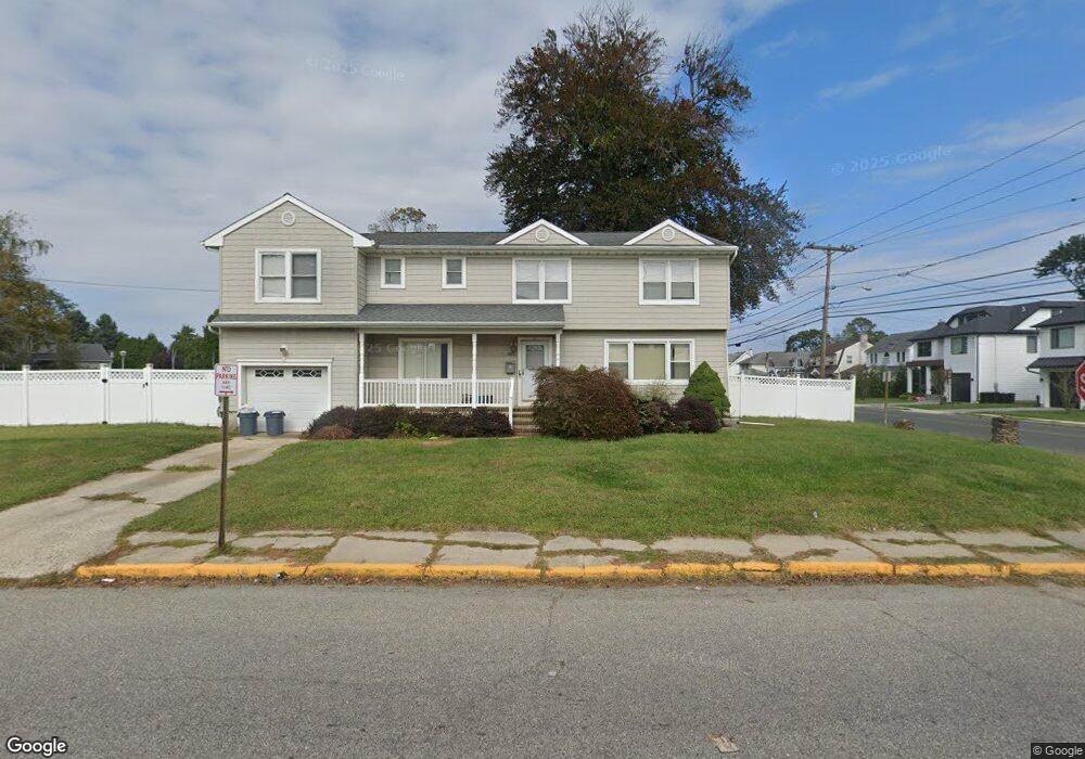
355 W End Ave Long Branch, NJ 07740
Estimated Value: $922,000 - $1,345,000
4
Beds
2
Baths
2,520
Sq Ft
$451/Sq Ft
Est. Value
About This Home
This home is located at 355 W End Ave, Long Branch, NJ 07740 and is currently estimated at $1,135,360, approximately $450 per square foot. 355 W End Ave is a home located in Monmouth County with nearby schools including Long Branch High School, Holy Trinity School, and Bet Yaakov of the Jersey Shore.
Ownership History
Date
Name
Owned For
Owner Type
Purchase Details
Closed on
Jun 30, 1992
Bought by
Mcglennon Thomas H and Mcglennon Joan
Current Estimated Value
Create a Home Valuation Report for This Property
The Home Valuation Report is an in-depth analysis detailing your home's value as well as a comparison with similar homes in the area
Home Values in the Area
Average Home Value in this Area
Purchase History
| Date | Buyer | Sale Price | Title Company |
|---|---|---|---|
| Mcglennon Thomas H | $143,000 | -- |
Source: Public Records
Tax History Compared to Growth
Tax History
| Year | Tax Paid | Tax Assessment Tax Assessment Total Assessment is a certain percentage of the fair market value that is determined by local assessors to be the total taxable value of land and additions on the property. | Land | Improvement |
|---|---|---|---|---|
| 2025 | $11,598 | $878,000 | $469,800 | $408,200 |
| 2024 | $10,632 | $754,600 | $364,200 | $390,400 |
| 2023 | $10,632 | $684,600 | $311,900 | $372,700 |
| 2022 | $8,808 | $537,500 | $209,200 | $328,300 |
| 2021 | $8,808 | $440,200 | $133,200 | $307,000 |
| 2020 | $9,650 | $461,700 | $130,400 | $331,300 |
| 2019 | $9,280 | $441,500 | $125,600 | $315,900 |
| 2018 | $9,190 | $434,700 | $130,400 | $304,300 |
| 2017 | $8,702 | $422,200 | $123,700 | $298,500 |
| 2016 | $8,474 | $419,300 | $128,500 | $290,800 |
| 2015 | $7,093 | $318,500 | $80,800 | $237,700 |
| 2014 | $6,950 | $328,900 | $101,300 | $227,600 |
Source: Public Records
Map
Nearby Homes
- 434 Westwood Ave
- 552 Westwood Ave
- 279 W West End Ave
- 23 Woolley Ave
- 440 W End Ave
- 345 Hollywood Ave
- 388 Brookdale Ave
- 294 Brighton Ave
- 377 Westwood Ave
- 317 Norwood Ave
- 264 Norwood Ave
- 570 Monmouth Place
- 364 Westwood Ave Unit 39
- 364 Westwood Ave Unit 71
- 364 Westwood Ave Unit 21
- 448 Monmouth Place
- 369 Indiana Ave
- 303 Westwood Ave
- 21 Dennis St
- 512 Sairs Ave
- 482 Westwood Ave
- 506 Westwood Ave
- 379 W End Ave
- 476 Westwood Ave
- 495 Westwood Ave
- 381 W End Ave
- 510 Westwood Ave
- 2 Foy Ln
- 2 Foy Ln Unit Winter
- 501 Westwood Ave
- 481 Westwood Ave
- 470 Westwood Ave
- 477 Westwood Ave
- 518 Westwood Ave
- 6 Foy Ln
- 383 W End Ave
- 329 W End Ave
- 473 Westwood Ave
- 336 W End Ave
- 336 W End Ave Unit LAND