355 W Stroop Rd Dayton, OH 45429
Estimated Value: $696,000 - $744,000
4
Beds
3
Baths
3,823
Sq Ft
$189/Sq Ft
Est. Value
About This Home
This home is located at 355 W Stroop Rd, Dayton, OH 45429 and is currently estimated at $721,029, approximately $188 per square foot. 355 W Stroop Rd is a home located in Montgomery County with nearby schools including Southdale Elementary School, Van Buren Middle School, and Kettering Fairmont High School.
Ownership History
Date
Name
Owned For
Owner Type
Purchase Details
Closed on
Sep 16, 2022
Sold by
Archer Andrew L
Bought by
City Of Kettering
Current Estimated Value
Purchase Details
Closed on
Jan 24, 2020
Sold by
Ohl Collen K and Ohl Jeffrey M
Bought by
Archer Andrew L
Home Financials for this Owner
Home Financials are based on the most recent Mortgage that was taken out on this home.
Original Mortgage
$650,000
Interest Rate
3.7%
Mortgage Type
New Conventional
Create a Home Valuation Report for This Property
The Home Valuation Report is an in-depth analysis detailing your home's value as well as a comparison with similar homes in the area
Home Values in the Area
Average Home Value in this Area
Purchase History
| Date | Buyer | Sale Price | Title Company |
|---|---|---|---|
| City Of Kettering | $2,423 | -- | |
| Archer Andrew L | $689,000 | None Available |
Source: Public Records
Mortgage History
| Date | Status | Borrower | Loan Amount |
|---|---|---|---|
| Previous Owner | Archer Andrew L | $650,000 |
Source: Public Records
Tax History Compared to Growth
Tax History
| Year | Tax Paid | Tax Assessment Tax Assessment Total Assessment is a certain percentage of the fair market value that is determined by local assessors to be the total taxable value of land and additions on the property. | Land | Improvement |
|---|---|---|---|---|
| 2024 | $11,605 | $194,030 | $35,280 | $158,750 |
| 2023 | $11,605 | $186,900 | $35,280 | $151,620 |
| 2022 | $11,466 | $146,020 | $27,560 | $118,460 |
| 2021 | $10,605 | $146,020 | $27,560 | $118,460 |
| 2020 | $10,632 | $146,020 | $27,560 | $118,460 |
| 2019 | $8,273 | $100,280 | $26,250 | $74,030 |
| 2018 | $8,318 | $100,280 | $26,250 | $74,030 |
| 2017 | $7,662 | $100,280 | $26,250 | $74,030 |
| 2016 | $7,055 | $86,690 | $26,250 | $60,440 |
| 2015 | $7,213 | $90,440 | $32,160 | $58,280 |
| 2014 | $7,213 | $90,440 | $32,160 | $58,280 |
| 2012 | -- | $87,410 | $32,160 | $55,250 |
Source: Public Records
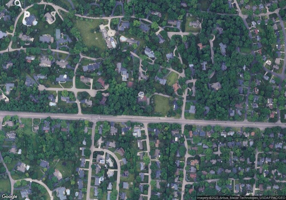
Map
Nearby Homes
- 209 Westhaven Dr
- 298 Marchester Dr
- 3993 Applewood Ln
- 115 N Bromfield Rd
- 3325 Ridgeway Rd
- 548 Winding Way
- 229 S Bromfield Rd
- 563 Eagle Cir
- 3212 Lenox Dr
- 516 Pauley Woods Cir
- 425 Ivycrest Terrace
- 849 Danan Cir
- 101 Blue Gate Cir Unit 1
- 508 Schuyler Dr
- 4400 Royal Ridge Way
- 4259 Maxlin Rd
- 117 Cushing Ave
- 311 Parkdale St Unit 309
- 309 Henrich Dr
- 645 Brookfield Rd
- 3921 S Stonehaven Rd
- 236 Stonehaven Rd
- 228 Stonehaven Rd
- 4023 Upham Rd
- 3951 Stonehaven Rd
- 3901 Stonehaven Rd
- 362 Chowning Cir
- 366 W Stroop Rd
- 314 Stonehaven Rd
- 371 Chowning Cir
- 382 W Stroop Rd
- 4049 Upham Rd
- 4003 Stonehaven Rd
- 4048 Upham Rd
- 237 Stonehaven Rd
- 230 Glenridge Rd
- 4024 Overland Trail
- 3950 Stonehaven Rd
- 4040 Lotz Rd
- 4060 Lotz Rd