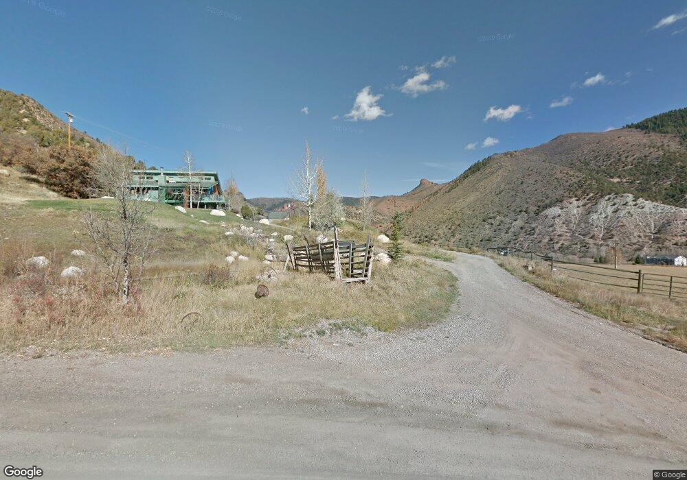
355 Watson Divide Rd Snowmass, CO 81654
Estimated Value: $720,099 - $4,054,000
4
Beds
3
Baths
1,976
Sq Ft
$1,032/Sq Ft
Est. Value
About This Home
This home is located at 355 Watson Divide Rd, Snowmass, CO 81654 and is currently estimated at $2,039,025, approximately $1,031 per square foot. 355 Watson Divide Rd is a home located in Pitkin County with nearby schools including Aspen Elementary School, Aspen Middle School, and Aspen High School.
Ownership History
Date
Name
Owned For
Owner Type
Purchase Details
Closed on
Jul 3, 2024
Sold by
Gerbaz Michael B
Bought by
Baz 5 Llc
Current Estimated Value
Purchase Details
Closed on
Jul 5, 2016
Sold by
Gerbaz Karen
Bought by
Gerbaz Michael B
Purchase Details
Closed on
May 31, 2001
Sold by
Gerbaz Michael B and Courtney Gerbaz Karen
Bought by
Gerbaz Michael B and Gerbaz Karen
Home Financials for this Owner
Home Financials are based on the most recent Mortgage that was taken out on this home.
Original Mortgage
$242,000
Interest Rate
7.07%
Create a Home Valuation Report for This Property
The Home Valuation Report is an in-depth analysis detailing your home's value as well as a comparison with similar homes in the area
Purchase History
| Date | Buyer | Sale Price | Title Company |
|---|---|---|---|
| Baz 5 Llc | -- | None Listed On Document | |
| Gerbaz Michael B | -- | None Available | |
| Gerbaz Michael B | -- | -- | |
| Gerbaz Michael B | -- | -- |
Source: Public Records
Mortgage History
| Date | Status | Borrower | Loan Amount |
|---|---|---|---|
| Previous Owner | Gerbaz Michael B | $242,000 |
Source: Public Records
Tax History
| Year | Tax Paid | Tax Assessment Tax Assessment Total Assessment is a certain percentage of the fair market value that is determined by local assessors to be the total taxable value of land and additions on the property. | Land | Improvement |
|---|---|---|---|---|
| 2025 | $757 | $23,220 | $7,810 | $15,410 |
| 2024 | $757 | $20,040 | $7,080 | $12,960 |
| 2023 | $576 | $22,940 | $8,100 | $14,840 |
| 2022 | $748 | $23,670 | $8,690 | $14,980 |
| 2021 | $746 | $24,360 | $8,940 | $15,420 |
| 2020 | $733 | $23,880 | $8,940 | $14,940 |
| 2019 | $733 | $23,880 | $8,940 | $14,940 |
| 2018 | $703 | $24,050 | $9,000 | $15,050 |
| 2017 | $610 | $22,900 | $9,000 | $13,900 |
| 2016 | $678 | $24,950 | $9,950 | $15,000 |
| 2015 | $674 | $24,950 | $9,950 | $15,000 |
| 2014 | $684 | $24,750 | $9,950 | $14,800 |
Source: Public Records
Map
Nearby Homes
- 4076 Lower River Rd
- 304 Waterview Dr
- 4 Aspen Village
- 29 Bear Trail
- 40 Aspen Village Rd
- 55 Bear Trail
- 137 Ridge Trail
- 3333 Snowmass Creek Rd
- 176 Letey Ln
- 2147 Lower River Rd
- 88 Clover Ln
- TBD Lazy O Rd
- 820 Twining Flats Rd
- 120 Running Mare Rd
- 167 Picket Pin Ln
- 730 Twining Flats Rd
- 1325 Gateway Rd
- 000 Lazy O Rd Unit Lot 4
- TBD Twining Flats Rd
- 415 Rural Mountain Way
- 220 Arbaney Ln
- 124 Arbaney Ln
- 351 Watson Divide Rd
- 40 Arbaney Ln
- 990 Gerbazdale Dr
- 150 Watson Divide Rd
- 150 Watson Divide Rd
- 40 Champagne Ln
- 755 Gerbazdale Dr
- 4080 Lower River Rd
- 4076 Lower River Rd
- 4074 Lower River Rd
- 30603 Highway 82
- 4070 Lower River Rd Unit 2
- 4070 Lower River Rd Unit 6
- 4070 Lower River Rd Unit 16
- 4070 Lower River Rd Unit 18
- 4070 Lower River Rd Unit 15
- 4070 Lower River Rd Unit 4
- 4070 Lower River Rd Unit 1
Your Personal Tour Guide
Ask me questions while you tour the home.