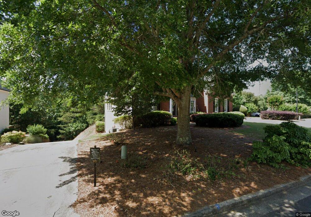
355 Woodbrook Crest Canton, GA 30114
Sutallee NeighborhoodEstimated Value: $548,000 - $564,834
4
Beds
3
Baths
2,952
Sq Ft
$188/Sq Ft
Est. Value
About This Home
This home is located at 355 Woodbrook Crest, Canton, GA 30114 and is currently estimated at $556,417, approximately $188 per square foot. 355 Woodbrook Crest is a home located in Cherokee County with nearby schools including Sixes Elementary School, Freedom Middle School, and Woodstock High School.
Ownership History
Date
Name
Owned For
Owner Type
Purchase Details
Closed on
Dec 9, 1998
Sold by
Robert Harris Homes Inc
Bought by
Barringer Curt F and Barringer Kelly M
Current Estimated Value
Home Financials for this Owner
Home Financials are based on the most recent Mortgage that was taken out on this home.
Original Mortgage
$239,850
Outstanding Balance
$52,241
Interest Rate
6.84%
Mortgage Type
New Conventional
Estimated Equity
$504,176
Create a Home Valuation Report for This Property
The Home Valuation Report is an in-depth analysis detailing your home's value as well as a comparison with similar homes in the area
Home Values in the Area
Average Home Value in this Area
Purchase History
| Date | Buyer | Sale Price | Title Company |
|---|---|---|---|
| Barringer Curt F | $252,500 | -- |
Source: Public Records
Mortgage History
| Date | Status | Borrower | Loan Amount |
|---|---|---|---|
| Open | Barringer Curt F | $239,850 |
Source: Public Records
Tax History Compared to Growth
Tax History
| Year | Tax Paid | Tax Assessment Tax Assessment Total Assessment is a certain percentage of the fair market value that is determined by local assessors to be the total taxable value of land and additions on the property. | Land | Improvement |
|---|---|---|---|---|
| 2025 | $5,193 | $220,844 | $50,000 | $170,844 |
| 2024 | $4,953 | $210,000 | $46,000 | $164,000 |
| 2023 | $4,397 | $204,240 | $46,000 | $158,240 |
| 2022 | $4,112 | $167,760 | $36,000 | $131,760 |
| 2021 | $3,781 | $138,880 | $28,800 | $110,080 |
| 2020 | $3,590 | $130,520 | $28,800 | $101,720 |
| 2019 | $3,427 | $123,480 | $28,800 | $94,680 |
| 2018 | $3,256 | $116,160 | $27,200 | $88,960 |
| 2017 | $3,240 | $286,800 | $27,200 | $87,520 |
| 2016 | $3,118 | $273,500 | $27,200 | $82,200 |
| 2015 | $2,870 | $249,800 | $24,000 | $75,920 |
| 2014 | $2,799 | $243,300 | $24,000 | $73,320 |
Source: Public Records
Map
Nearby Homes
- 711 Tall Oaks Dr
- 829 Valley Dr
- 834 Valley Dr Unit 1K
- 3018 Heatherbrook Trace
- 3008 Heatherbrook Trace Unit 2B
- 164 Henley St
- 3021 Heatherbrook Trace
- 160 Henley St Unit 15
- 160 Henley St
- Jasper II Plan at Cambridge at Steels Bridge
- Newton II Plan at Cambridge at Steels Bridge
- Fulton II Plan at Cambridge at Steels Bridge
- Brookwood Plan at Cambridge at Steels Bridge
- Tifton II Plan at Cambridge at Steels Bridge
- 552 Steels Bridge Rd
- 601 Redwood Ln
- 302 Magnolia Trace
- 414 Dogwood Way
- 1000 Delta Dr
- 1000 Delta Dr Unit A4-20
- 353 Woodbrook Crest
- 357 Woodbrook Crest
- 359 Woodbrook Crest
- 356 Woodbrook Crest
- 354 Woodbrook Crest
- 349 Woodbrook Crest
- 352 Woodbrook Crest
- 401 Woodbrook Ct
- 361 Woodbrook Crest
- 362 Woodbrook Crest
- 402 Woodbrook Ct
- 508 Woodbrook Ln
- 350 Woodbrook Crest
- 364 Woodbrook Crest
- 347 Woodbrook Crest
- 404 Woodbrook Ct
- 509 Woodbrook Ln
- 348 Woodbrook Crest
- 348 Woodbrook Crest Unit 218
- 363 Woodbrook Crest