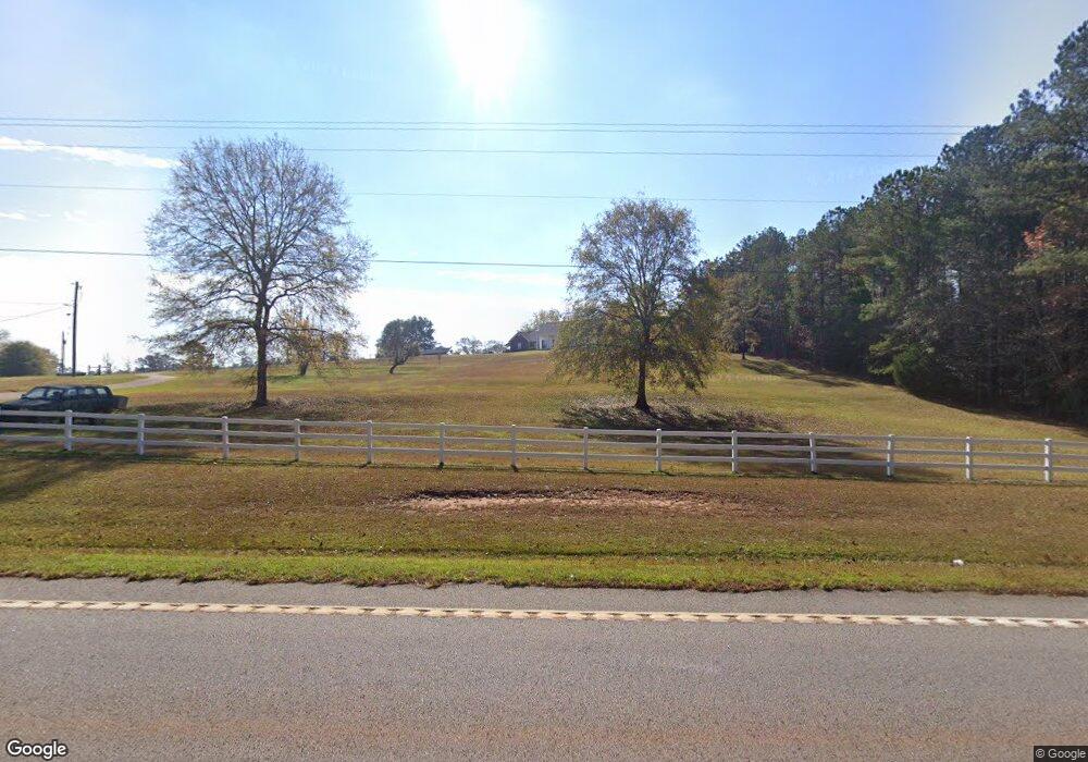
3550 Ga Highway 18 West Point, GA 31833
Estimated Value: $306,000 - $449,000
4
Beds
3
Baths
2,918
Sq Ft
$123/Sq Ft
Est. Value
About This Home
This home is located at 3550 Ga Highway 18, West Point, GA 31833 and is currently estimated at $357,906, approximately $122 per square foot. 3550 Ga Highway 18 is a home located in Troup County with nearby schools including West Point Elementary School, Long Cane Elementary School, and Whitesville Road Elementary School.
Ownership History
Date
Name
Owned For
Owner Type
Purchase Details
Closed on
Jan 22, 2024
Sold by
England Charles D
Bought by
England Brannon
Current Estimated Value
Home Financials for this Owner
Home Financials are based on the most recent Mortgage that was taken out on this home.
Original Mortgage
$260,000
Outstanding Balance
$227,646
Interest Rate
6.61%
Mortgage Type
New Conventional
Estimated Equity
$130,260
Purchase Details
Closed on
Aug 18, 2004
Bought by
England Charles and England Patricia
Create a Home Valuation Report for This Property
The Home Valuation Report is an in-depth analysis detailing your home's value as well as a comparison with similar homes in the area
Home Values in the Area
Average Home Value in this Area
Purchase History
| Date | Buyer | Sale Price | Title Company |
|---|---|---|---|
| England Brannon | $260,000 | -- | |
| England Charles | -- | -- |
Source: Public Records
Mortgage History
| Date | Status | Borrower | Loan Amount |
|---|---|---|---|
| Open | England Brannon | $260,000 |
Source: Public Records
Tax History Compared to Growth
Tax History
| Year | Tax Paid | Tax Assessment Tax Assessment Total Assessment is a certain percentage of the fair market value that is determined by local assessors to be the total taxable value of land and additions on the property. | Land | Improvement |
|---|---|---|---|---|
| 2024 | $3,445 | $134,120 | $12,280 | $121,840 |
| 2023 | $3,369 | $131,360 | $12,280 | $119,080 |
| 2022 | $3,276 | $125,120 | $12,280 | $112,840 |
| 2021 | $3,211 | $108,440 | $10,000 | $98,440 |
| 2020 | $3,211 | $108,440 | $10,000 | $98,440 |
| 2019 | $3,223 | $108,840 | $10,000 | $98,840 |
| 2018 | $2,951 | $99,840 | $10,000 | $89,840 |
| 2017 | $2,951 | $99,840 | $10,000 | $89,840 |
| 2016 | $2,908 | $98,387 | $10,002 | $88,385 |
| 2015 | $2,789 | $94,290 | $10,002 | $84,288 |
| 2014 | $2,793 | $94,290 | $10,002 | $84,288 |
| 2013 | -- | $94,290 | $10,002 | $84,288 |
Source: Public Records
Map
Nearby Homes
- 333 Shoemaker Rd
- 0 Johns Rd Unit 10615130
- 134 Garden Walk
- 143 W Drummond Rd
- 151 W Drummond Rd
- 157 W Drummond Rd
- 137 W Drummond Rd
- 131 W Drummond Rd
- 45 Davidson Rd
- 111 Tudor Way
- 4172 Bartley Rd
- Winfield Plan at The Villages at Harris Creek
- Cecil Plan at The Villages at Harris Creek
- Poplar Plan at The Villages at Harris Creek
- Russell Plan at The Villages at Harris Creek
- Jodeco Plan at The Villages at Harris Creek
- Nelson Plan at The Villages at Harris Creek
- Sierra Plan at The Villages at Harris Creek
- 103 Garden Walk
- 115 Garden Walk
- 3584 Ga Highway 18
- 3488 Ga Highway 18
- 3547 Ga Highway 18
- 3547 Georgia 18
- 3567 Ga Highway 18
- 3567 Georgia 18
- 3543 Ga Highway 18
- 3600 Georgia 18
- 3600 Ga Highway 18
- 3429 Ga Highway 18
- 3607 Ga Highway 18
- 3607 Georgia 18
- 3370 Ga Highway 18
- S R 18
- 3712 Ga Highway 18
- Pt.Lt 18 & Prince St
- 3889 Ga Highway 18
- 3283 Ga Highway 18
- 3847 Ga Highway 18
- 3818 Ga Highway 18