3550 Lower Peoh Point Rd Cle Elum, WA 98922
Estimated Value: $840,000 - $1,317,000
6
Beds
2
Baths
3,277
Sq Ft
$325/Sq Ft
Est. Value
About This Home
This home is located at 3550 Lower Peoh Point Rd, Cle Elum, WA 98922 and is currently estimated at $1,064,045, approximately $324 per square foot. 3550 Lower Peoh Point Rd is a home located in Kittitas County with nearby schools including Cle Elum Roslyn Elementary School, Walter Strom Middle School, and Cle Elum Roslyn High School.
Ownership History
Date
Name
Owned For
Owner Type
Purchase Details
Closed on
Jan 15, 2016
Sold by
Landes David H
Bought by
Nicholson Kyle R and Nicholson Lacey M
Current Estimated Value
Create a Home Valuation Report for This Property
The Home Valuation Report is an in-depth analysis detailing your home's value as well as a comparison with similar homes in the area
Home Values in the Area
Average Home Value in this Area
Purchase History
| Date | Buyer | Sale Price | Title Company |
|---|---|---|---|
| Nicholson Kyle R | $190,300 | Amerititle |
Source: Public Records
Tax History Compared to Growth
Tax History
| Year | Tax Paid | Tax Assessment Tax Assessment Total Assessment is a certain percentage of the fair market value that is determined by local assessors to be the total taxable value of land and additions on the property. | Land | Improvement |
|---|---|---|---|---|
| 2025 | $3,996 | $689,350 | $36,350 | $653,000 |
| 2023 | $3,996 | $600,920 | $36,300 | $564,620 |
| 2022 | $3,718 | $511,690 | $31,180 | $480,510 |
| 2021 | $3,799 | $706,410 | $239,000 | $467,410 |
| 2019 | $2,756 | $535,500 | $204,000 | $331,500 |
| 2018 | $2,370 | $469,200 | $204,000 | $265,200 |
| 2017 | $2,370 | $469,200 | $204,000 | $265,200 |
| 2016 | $2,377 | $293,110 | $27,910 | $265,200 |
| 2015 | $2,304 | $293,110 | $27,910 | $265,200 |
| 2013 | -- | $266,560 | $18,450 | $248,110 |
Source: Public Records
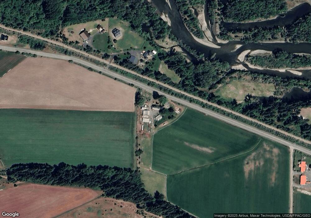
Map
Nearby Homes
- 741 McDonald Rd
- 0 xxx Washington 970
- 1721 Forest Ridge Dr
- 31 Forest Ridge Dr
- 2431 Sr 970
- 1660 Airport Rd
- 2781 970
- 819 E 1st St
- 812 E 2nd St
- 0 Owl Ridge Dr Unit NWM2428008
- 31 Groeschell Rd
- 716 E 3rd St
- 0 xxx Owl Ridge Dr
- 3 Forest Ridge Dr
- 37 Forest Ridge Dr
- 308 N Montgomery Ave
- 515 E 1st St
- 508 E 1st St
- 1450 Creekside Rd
- 422 Forest Ridge Dr
- 3411 Lower Peoh Point Rd
- 3401 Lower Peoh Point Rd
- 421 Godawa Ln
- 4030 Lower Peoh Point Rd
- 661 Godawa Ln
- 340 Godawa Ln
- 0 State Road 970 Unit 28111098
- 0 970 Hwy Unit 29078686
- 480 River Ranch Ln
- 0 Hawk Haven Rd Unit 912305
- 0 Hawk Haven Rd Unit 760098
- 0 Washington 10
- 61 Harmony Ct
- 4080 Lower Peoh Point Rd
- 302 Godawa Ln
- 2850 Lower Peoh Point Rd
- 971 Godawa Ln
- 300 Godawa Ln
- 304 Godawa Ln