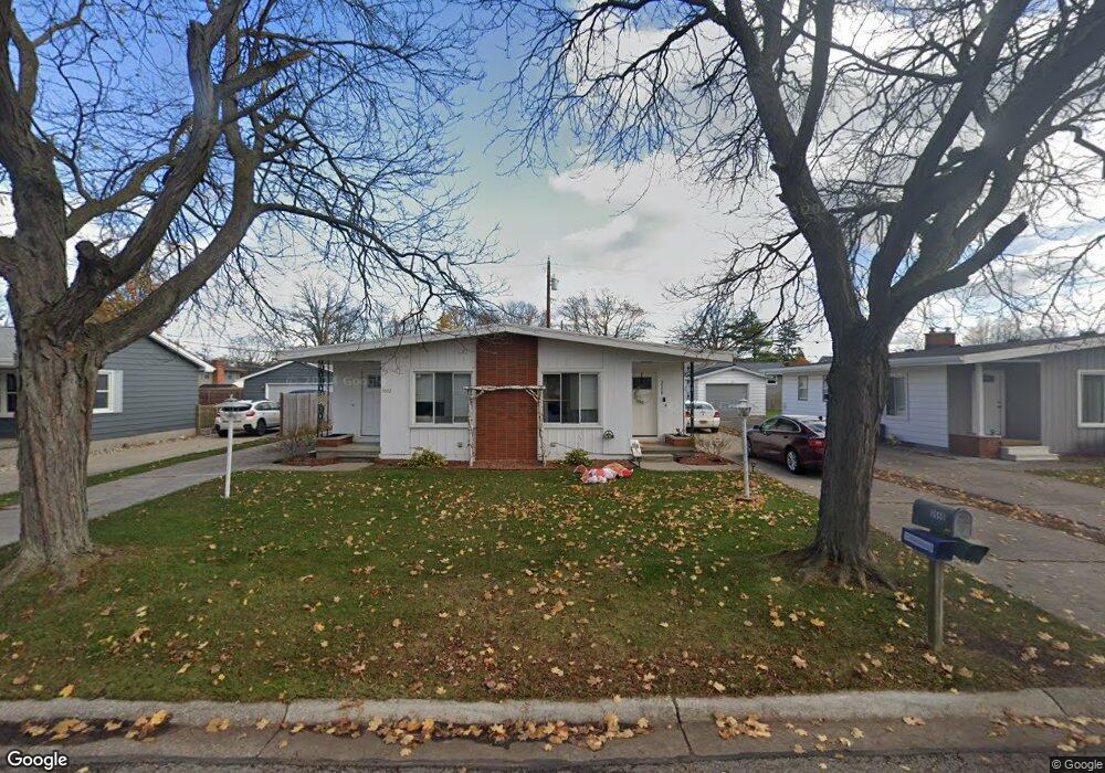
3550 Shenandoah Ave Unit 3552 Port Huron, MI 48060
Estimated Value: $215,004 - $241,000
2
Beds
2
Baths
1,680
Sq Ft
$135/Sq Ft
Est. Value
About This Home
This home is located at 3550 Shenandoah Ave Unit 3552, Port Huron, MI 48060 and is currently estimated at $226,501, approximately $134 per square foot. 3550 Shenandoah Ave Unit 3552 is a home located in St. Clair County with nearby schools including Garfield Elementary School, Holland Woods Middle School, and Port Huron Northern High School.
Ownership History
Date
Name
Owned For
Owner Type
Purchase Details
Closed on
Jan 15, 2020
Sold by
Marsh Andrew J and Marsh Joann M
Bought by
Union Properties Ii Llc
Current Estimated Value
Purchase Details
Closed on
Apr 17, 2007
Sold by
Lauth Virginia R
Bought by
Marsh Andrew J and Marsh Joann M
Home Financials for this Owner
Home Financials are based on the most recent Mortgage that was taken out on this home.
Original Mortgage
$112,500
Interest Rate
6.19%
Mortgage Type
New Conventional
Create a Home Valuation Report for This Property
The Home Valuation Report is an in-depth analysis detailing your home's value as well as a comparison with similar homes in the area
Home Values in the Area
Average Home Value in this Area
Purchase History
| Date | Buyer | Sale Price | Title Company |
|---|---|---|---|
| Union Properties Ii Llc | $125,000 | Transnation Title | |
| Marsh Andrew J | $125,000 | None Available |
Source: Public Records
Mortgage History
| Date | Status | Borrower | Loan Amount |
|---|---|---|---|
| Previous Owner | Marsh Andrew J | $112,500 |
Source: Public Records
Tax History Compared to Growth
Tax History
| Year | Tax Paid | Tax Assessment Tax Assessment Total Assessment is a certain percentage of the fair market value that is determined by local assessors to be the total taxable value of land and additions on the property. | Land | Improvement |
|---|---|---|---|---|
| 2025 | $4,396 | $91,500 | $0 | $0 |
| 2024 | $3,976 | $83,500 | $0 | $0 |
| 2023 | $3,765 | $74,300 | $0 | $0 |
| 2022 | $3,900 | $65,800 | $0 | $0 |
| 2021 | $3,722 | $61,700 | $0 | $0 |
| 2020 | $3,737 | $58,900 | $58,900 | $0 |
| 2019 | $2,748 | $51,400 | $0 | $0 |
| 2018 | $2,555 | $51,400 | $0 | $0 |
| 2017 | $2,345 | $47,000 | $0 | $0 |
| 2016 | $2,096 | $47,000 | $0 | $0 |
| 2015 | $2,057 | $41,700 | $41,700 | $0 |
| 2014 | $2,057 | $38,200 | $38,200 | $0 |
| 2013 | -- | $37,600 | $0 | $0 |
Source: Public Records
Map
Nearby Homes
- 1424 Hazelwood Ln
- 3321 Stone St
- 3214 Poplar St
- 1020 Sanborn St
- 3455 Gratiot Ave
- 1202 Palmer Ct
- 3208 Mount Vernon Rd
- 3419 Riverside Dr
- 2913 11th Ave
- 1531 Robinson St
- 1434 Schumaker St
- 1218 Garfield St
- 2812 19th Ave
- 3515 Strawberry Ln
- 1116 Hancock St
- 2857 Riverside Dr
- 2215 Hancock St
- 2419 Cherry St
- 2400 Stone St Unit 2414
- 2431 Armour St
- 3554 Shenandoah Ave
- 3551 10th Ave
- 3562 Shenandoah Ave
- 3541 Shenandoah Ave
- 3539 Shenandoah Ave
- 3545 Shenandoah Ave Unit 3547
- 3543 10th Ave
- 3541 10th Ave
- 3535 10th Ave
- 1430 Holland Ave
- 3559 10th Ave
- 3534 Shenandoah Ave
- 3535 Shenandoah Ave
- 3525 10th Ave
- 1432 Holland Ave
- 3531 Shenandoah Ave
- 1438 Holland Ave
- 3522 Shenandoah Ave
- 3538 10th Ave
- 3519 10th Ave