35510 Mill Rd Murdock, NE 68407
Estimated Value: $556,000 - $948,000
4
Beds
6
Baths
4,239
Sq Ft
$184/Sq Ft
Est. Value
About This Home
This home is located at 35510 Mill Rd, Murdock, NE 68407 and is currently estimated at $780,701, approximately $184 per square foot. 35510 Mill Rd is a home located in Cass County with nearby schools including Elmwood-Murdock Elementary School and Elmwood-Murdock Junior/Senior High School.
Ownership History
Date
Name
Owned For
Owner Type
Purchase Details
Closed on
Apr 8, 2021
Sold by
Rhotenacher Raider
Bought by
Heimes Michelle M and Heimes Revocable Trust
Current Estimated Value
Purchase Details
Closed on
Nov 13, 2012
Sold by
Archer Raider R and Rhotenacher Raider
Bought by
Rhotenacher Raider
Purchase Details
Closed on
Jul 18, 2005
Sold by
Johnson Dale K
Bought by
Price Stephen James
Purchase Details
Closed on
Aug 20, 2003
Sold by
Johnson Dale K
Bought by
Johnson Dale K
Create a Home Valuation Report for This Property
The Home Valuation Report is an in-depth analysis detailing your home's value as well as a comparison with similar homes in the area
Home Values in the Area
Average Home Value in this Area
Purchase History
| Date | Buyer | Sale Price | Title Company |
|---|---|---|---|
| Heimes Michelle M | $408,000 | Nebraska Title Co | |
| Rhotenacher Raider | -- | -- | |
| Price Stephen James | $437,000 | -- | |
| Johnson Dale K | -- | -- |
Source: Public Records
Tax History Compared to Growth
Tax History
| Year | Tax Paid | Tax Assessment Tax Assessment Total Assessment is a certain percentage of the fair market value that is determined by local assessors to be the total taxable value of land and additions on the property. | Land | Improvement |
|---|---|---|---|---|
| 2024 | $5,930 | $513,890 | $81,300 | $432,590 |
| 2023 | $5,103 | $493,286 | $60,696 | $432,590 |
| 2022 | $1,638 | $112,467 | $63,731 | $48,736 |
| 2021 | $2,567 | $176,925 | $50,580 | $126,345 |
| 2020 | $5,486 | $357,887 | $50,580 | $307,307 |
| 2019 | $5,434 | $357,887 | $50,580 | $307,307 |
| 2018 | $5,581 | $357,887 | $50,580 | $307,307 |
| 2017 | $5,639 | $357,887 | $50,580 | $307,307 |
| 2016 | $5,322 | $357,887 | $50,580 | $307,307 |
| 2015 | $5,227 | $357,887 | $50,580 | $307,307 |
| 2014 | $5,912 | $364,507 | $50,580 | $313,927 |
Source: Public Records
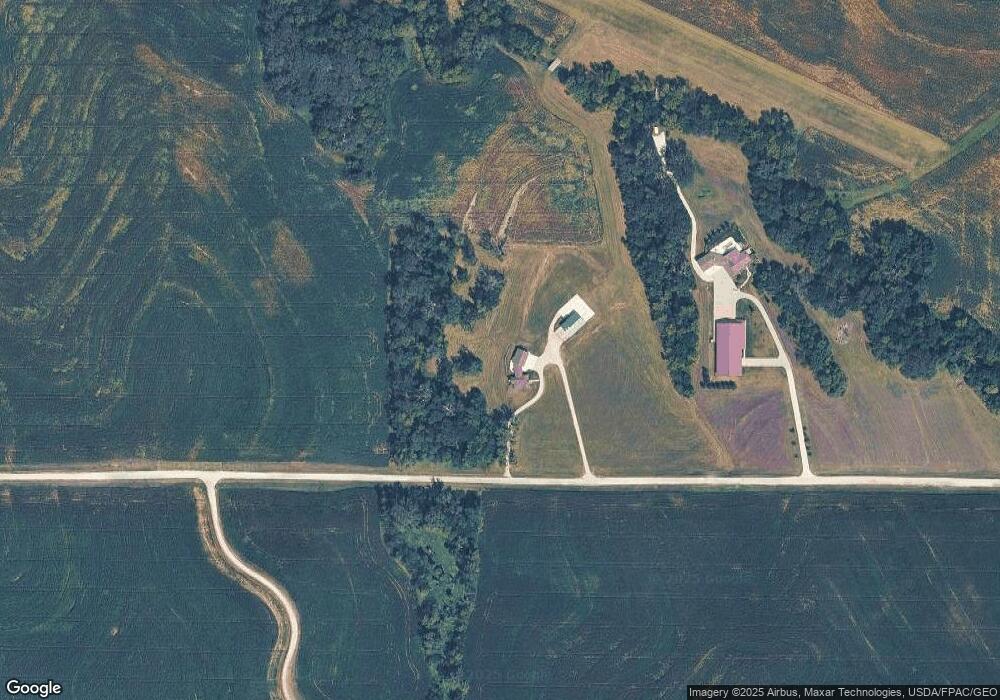
Map
Nearby Homes
- 12200 358th St
- 11104 Nebraska 50
- 15918 Church Rd
- TBD Tbd
- 13109 144th St
- TBD-22-12-11 Northridge Sub (1 10 A) Pollard Dr
- 621 Main St
- 0000 144th St
- 306 W 3rd St
- 116 Kansas St
- 502 Koop Ave
- 1158 Stone Ridge Dr
- 413 Eastwood Dr
- 370 Eastwood Dr
- 387 Eastwood Dr
- 94 Walnut St
- 601 Pine St
- 20304 W Hwy 31
- Lot 14 Ravens Nest Two
- 15723 Riha Cir