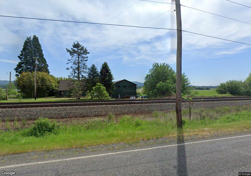
35510 SE Evergreen Hwy Washougal, WA 98671
Estimated Value: $628,000 - $923,242
2
Beds
1
Bath
1,201
Sq Ft
$624/Sq Ft
Est. Value
About This Home
This home is located at 35510 SE Evergreen Hwy, Washougal, WA 98671 and is currently estimated at $749,747, approximately $624 per square foot. 35510 SE Evergreen Hwy is a home located in Clark County with nearby schools including Columbia River Gorge Elementary School, Jemtegaard Middle School, and Washougal High School.
Ownership History
Date
Name
Owned For
Owner Type
Purchase Details
Closed on
May 14, 2008
Sold by
State Of Washington
Bought by
United States Of America and Department Of The Interior Us Fish & Wil
Current Estimated Value
Purchase Details
Closed on
Mar 20, 2008
Sold by
United States Of America
Bought by
State Of Wa Dept Of Transportation
Purchase Details
Closed on
Nov 27, 2001
Sold by
Columbia Land Trust
Bought by
United States Of America
Purchase Details
Closed on
Oct 14, 1999
Sold by
Ray Hickey Foundation
Bought by
Columbia Land Trust
Purchase Details
Closed on
May 1, 1998
Sold by
Ray Hickey Foundation
Bought by
Columbia Land Trust
Home Financials for this Owner
Home Financials are based on the most recent Mortgage that was taken out on this home.
Original Mortgage
$25,000
Interest Rate
9%
Create a Home Valuation Report for This Property
The Home Valuation Report is an in-depth analysis detailing your home's value as well as a comparison with similar homes in the area
Home Values in the Area
Average Home Value in this Area
Purchase History
| Date | Buyer | Sale Price | Title Company |
|---|---|---|---|
| United States Of America | -- | None Available | |
| State Of Wa Dept Of Transportation | -- | None Available | |
| United States Of America | $500,000 | Clark County Title Company | |
| Columbia Land Trust | $290,000 | -- | |
| Columbia Land Trust | $290,000 | -- |
Source: Public Records
Mortgage History
| Date | Status | Borrower | Loan Amount |
|---|---|---|---|
| Previous Owner | Columbia Land Trust | $25,000 |
Source: Public Records
Tax History Compared to Growth
Tax History
| Year | Tax Paid | Tax Assessment Tax Assessment Total Assessment is a certain percentage of the fair market value that is determined by local assessors to be the total taxable value of land and additions on the property. | Land | Improvement |
|---|---|---|---|---|
| 2025 | -- | $596,787 | $325,052 | $271,735 |
| 2024 | $22 | $736,658 | $457,825 | $278,833 |
| 2023 | $22 | $696,272 | $448,974 | $247,298 |
| 2022 | $402 | $671,879 | $448,972 | $222,907 |
| 2021 | $402 | $538,011 | $339,803 | $198,208 |
| 2020 | $402 | $510,900 | $339,804 | $171,096 |
| 2019 | $402 | $492,354 | $325,052 | $167,302 |
| 2018 | $402 | $0 | $0 | $0 |
| 2017 | $402 | $0 | $0 | $0 |
| 2016 | $27 | $0 | $0 | $0 |
| 2015 | $27 | $0 | $0 | $0 |
| 2014 | -- | $0 | $0 | $0 |
| 2013 | -- | $0 | $0 | $0 |
Source: Public Records
Map
Nearby Homes
- 4501 Addy St Unit 91
- 4501 Addy St Unit 121
- 4501 Addy St Unit 30
- 4501 Addy St Unit 101
- 4501 Addy St Unit 67
- 4363 Addy Loop
- 756 Sunset Ridge Dr
- 0 SE Wooding Rd Unit 658516406
- 4309 C St
- 1067 54th St
- 5646 K St
- 1082 57th St
- 5436 K St
- 5475 L St
- 0 57th St
- 5392 N St
- 1515 55th St
- 1262 48th St
- 5262 N St
- 5417 N St
- 0 SE Evergreen Hwy
- 35604 SE Evergreen Hwy
- 35400 SE Evergreen Hwy
- 6500 SE 356th Ave
- 35900 SE Evergreen Hwy
- 6403 SE 354th Ave
- 6400 SE 356th Ave
- 35736 SE Evergreen Hwy
- 35902 SE Evergreen Hwy
- 35806 SE Evergreen Hwy
- 35908 SE Evergreen Hwy
- 36300 SE Evergreen Hwy
- 6302 SE 356th Ave
- 6302 SE 356 Ave
- 36109 SE Evergreen Hwy
- 34817 SE Evergreen Hwy
- 34900 SE Evergreen Hwy
- 36206 SE Evergreen Hwy
- 4960 Evergreen Way
- 34812 SE Evergreen Hwy