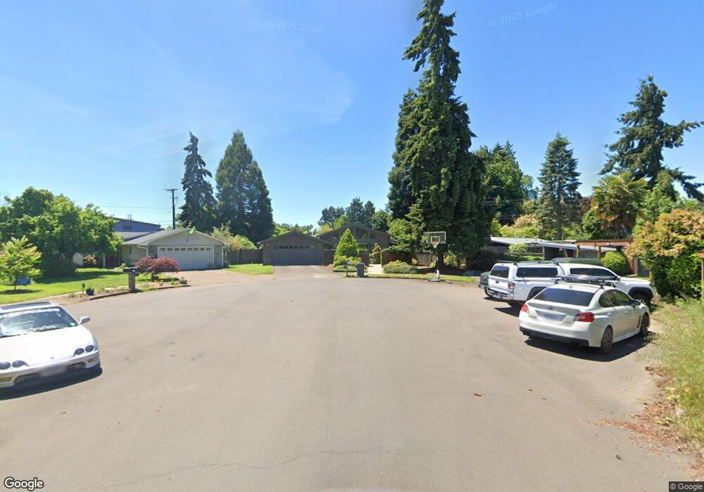
3552 George Ct Eugene, OR 97401
Harlow NeighborhoodEstimated Value: $551,000 - $607,000
2
Beds
2
Baths
1,903
Sq Ft
$308/Sq Ft
Est. Value
About This Home
This home is located at 3552 George Ct, Eugene, OR 97401 and is currently estimated at $586,487, approximately $308 per square foot. 3552 George Ct is a home located in Lane County with nearby schools including Holt Elementary School, Monroe Middle School, and Sheldon High School.
Ownership History
Date
Name
Owned For
Owner Type
Purchase Details
Closed on
Mar 6, 2006
Sold by
Hansen David W and Hansen Frances O
Bought by
Hansen Kevin O and Hansen Connie
Current Estimated Value
Purchase Details
Closed on
Apr 9, 1998
Sold by
Hansen Kevin O and Hansen Connie M
Bought by
Hansen Kevin O and Hansen Connie M
Home Financials for this Owner
Home Financials are based on the most recent Mortgage that was taken out on this home.
Original Mortgage
$43,000
Interest Rate
7.18%
Create a Home Valuation Report for This Property
The Home Valuation Report is an in-depth analysis detailing your home's value as well as a comparison with similar homes in the area
Home Values in the Area
Average Home Value in this Area
Purchase History
| Date | Buyer | Sale Price | Title Company |
|---|---|---|---|
| Hansen Kevin O | -- | None Available | |
| Hansen Kevin O | -- | Cascade Title Co |
Source: Public Records
Mortgage History
| Date | Status | Borrower | Loan Amount |
|---|---|---|---|
| Previous Owner | Hansen Kevin O | $43,000 |
Source: Public Records
Tax History
| Year | Tax Paid | Tax Assessment Tax Assessment Total Assessment is a certain percentage of the fair market value that is determined by local assessors to be the total taxable value of land and additions on the property. | Land | Improvement |
|---|---|---|---|---|
| 2025 | $5,418 | $278,054 | -- | -- |
| 2024 | $5,350 | $269,956 | -- | -- |
| 2023 | $5,350 | $262,094 | $0 | $0 |
| 2022 | $5,012 | $254,461 | $0 | $0 |
| 2021 | $4,708 | $247,050 | $0 | $0 |
| 2020 | $4,724 | $239,855 | $0 | $0 |
| 2019 | $4,563 | $232,869 | $0 | $0 |
| 2018 | $4,295 | $219,502 | $0 | $0 |
| 2017 | $4,103 | $219,502 | $0 | $0 |
| 2016 | $3,967 | $213,109 | $0 | $0 |
| 2015 | $3,823 | $206,902 | $0 | $0 |
| 2014 | $3,163 | $171,562 | $0 | $0 |
Source: Public Records
Map
Nearby Homes
- 825 Waverly St
- 1038 President St
- 1270 Calvin St
- 3700 Babcock Ln Unit 119
- 3700 Babcock Ln Unit 106
- 1271 Arcadia Dr
- 3025 Bailey Ln
- 446 Kodiak St
- 2994 Dapple Way
- 2872 Suffolk Ct
- 1491 Victorian Way
- 3579 Oxbow Way
- 341 Ransom Ct
- 3460 Oxbow Way
- 2746 Harlow Rd
- 0 Sprig Ln Unit Lot 3
- 0 Sprig Ln Unit Lot 3 766109892
- 1564 Regency Dr
- 280 Regal Ct
- 2727 Gateway St Unit 27
- 3548 George Ct
- 3556 George Ct
- 843 Waverly St
- 871 Waverly St
- 3560 George Ct
- 855 Waverly St
- 3544 George Ct
- 927 Waverly St
- 831 Waverly St
- 821 Waverly St
- 3536 Western Dr
- 3572 Western Dr
- 921 Waverly St
- 815 Waverly St
- 3528 Western Dr
- 3580 Western Dr
- 935 Waverly St
- 3520 Western Dr
- 785 Waverly St
- 961 Waverly St
Your Personal Tour Guide
Ask me questions while you tour the home.