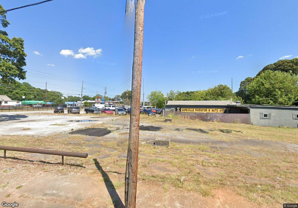
3552 Perkins St Atlanta, GA 30354
--
Bed
--
Bath
--
Sq Ft
1
Acres
About This Home
This home is located at 3552 Perkins St, Atlanta, GA 30354. 3552 Perkins St is a home located in Fulton County with nearby schools including Hapeville Elementary School, Paul D. West Middle School, and Tri-Cities High School.
Ownership History
Date
Name
Owned For
Owner Type
Purchase Details
Closed on
Nov 2, 2023
Sold by
Rref Atl Tarin Station Llc
Bought by
Mcdaniel Charles
Purchase Details
Closed on
Jan 11, 2022
Sold by
Blueash Holding Llc
Bought by
Rref Atl Tarin Station Llc
Purchase Details
Closed on
May 28, 2020
Sold by
Rref Ii Pb Ga Llc
Bought by
Blueash Holding Llc
Purchase Details
Closed on
Feb 6, 2015
Sold by
Peoples Bank
Bought by
Rref Ii Pb Ga Llc
Create a Home Valuation Report for This Property
The Home Valuation Report is an in-depth analysis detailing your home's value as well as a comparison with similar homes in the area
Home Values in the Area
Average Home Value in this Area
Purchase History
| Date | Buyer | Sale Price | Title Company |
|---|---|---|---|
| Mcdaniel Charles | -- | -- | |
| Rref Atl Tarin Station Llc | $9,500 | -- | |
| Rref Atl Tarin Station Llc | $9,500 | -- | |
| Rref Atl Train Station Llc | $9,500 | -- | |
| Rref Atl Train Station Llc | $9,500 | -- | |
| Blueash Holding Llc | -- | -- | |
| Rref Ii Pb Ga Llc | $26,667 | -- |
Source: Public Records
Tax History Compared to Growth
Tax History
| Year | Tax Paid | Tax Assessment Tax Assessment Total Assessment is a certain percentage of the fair market value that is determined by local assessors to be the total taxable value of land and additions on the property. | Land | Improvement |
|---|---|---|---|---|
| 2025 | $986 | $56,320 | $54,040 | $2,280 |
| 2023 | $1,590 | $56,320 | $54,040 | $2,280 |
| 2022 | $1,482 | $56,320 | $54,040 | $2,280 |
| 2021 | $2,414 | $56,320 | $54,040 | $2,280 |
| 2020 | $2,466 | $56,320 | $54,040 | $2,280 |
| 2019 | $738 | $45,800 | $43,200 | $2,600 |
| 2018 | $1,293 | $45,800 | $43,200 | $2,600 |
| 2017 | $310 | $10,640 | $10,000 | $640 |
| 2016 | $311 | $10,640 | $10,000 | $640 |
| 2015 | $2,103 | $45,800 | $43,200 | $2,600 |
| 2014 | $1,404 | $45,800 | $43,200 | $2,600 |
Source: Public Records
Map
Nearby Homes
- 226 College Cir Unit 1014
- 226 College Cir
- 206 College Cir
- 206 College St Unit 1004
- 224 College Cir Unit 1013
- 222 College Cir Unit 1012
- 218 College Cir Unit 1010
- 216 College Cir Unit 1009
- 214 College St Unit 1008
- 204 College St Unit 1003
- 222 College Cir
- 224 College Cir
- 218 College Cir
- 216 College Cir
- 210 College St
- 214 College St
- 208 College St Unit 1008
- 208 College St
- 625 Chestnut St
- 625 Chestnut St Unit D
- 3580 Perkins St
- 573 College St
- 529 N Central Ave
- 573 N Central Ave
- 555 College St
- 549 College St
- 543 College St
- 226 College St Unit 1014
- 218 College St Unit 1010
- 218 College St Unit 1012
- 224 College St Unit 1013
- 222 College St Unit 1012
- 226 College St Unit 1008
- 216 College St Unit 1009
- 216 College St Unit 1008
- 0 College St Unit 7483523
- 0 College St Unit 4224363
- 0 College St Unit 4234164
- 0 College St Unit 5564313
- 0 College St Unit 5797492