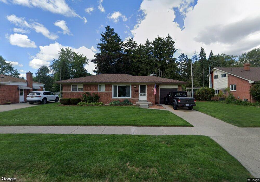
35527 Rutherford St Clinton Township, MI 48035
Estimated Value: $216,263 - $250,000
--
Bed
1
Bath
1,053
Sq Ft
$215/Sq Ft
Est. Value
About This Home
This home is located at 35527 Rutherford St, Clinton Township, MI 48035 and is currently estimated at $226,816, approximately $215 per square foot. 35527 Rutherford St is a home located in Macomb County with nearby schools including Clintondale High School and St. Thecla Catholic School.
Ownership History
Date
Name
Owned For
Owner Type
Purchase Details
Closed on
Jul 12, 2011
Sold by
Diepenbrock Frank L
Bought by
Revoca Diepenbrock Frank Lewis and Revoca Frank Lewis Diepenbrock
Current Estimated Value
Purchase Details
Closed on
Feb 25, 2000
Sold by
Vansickle Betty V
Bought by
Diepenbrock Frank L
Home Financials for this Owner
Home Financials are based on the most recent Mortgage that was taken out on this home.
Original Mortgage
$75,000
Interest Rate
8.24%
Create a Home Valuation Report for This Property
The Home Valuation Report is an in-depth analysis detailing your home's value as well as a comparison with similar homes in the area
Home Values in the Area
Average Home Value in this Area
Purchase History
| Date | Buyer | Sale Price | Title Company |
|---|---|---|---|
| Revoca Diepenbrock Frank Lewis | -- | None Available | |
| Diepenbrock Frank L | $117,900 | -- |
Source: Public Records
Mortgage History
| Date | Status | Borrower | Loan Amount |
|---|---|---|---|
| Previous Owner | Diepenbrock Frank L | $75,000 |
Source: Public Records
Tax History Compared to Growth
Tax History
| Year | Tax Paid | Tax Assessment Tax Assessment Total Assessment is a certain percentage of the fair market value that is determined by local assessors to be the total taxable value of land and additions on the property. | Land | Improvement |
|---|---|---|---|---|
| 2025 | $2,205 | $93,100 | $0 | $0 |
| 2024 | $1,356 | $83,300 | $0 | $0 |
| 2023 | $1,287 | $76,000 | $0 | $0 |
| 2022 | $1,993 | $69,300 | $0 | $0 |
| 2021 | $1,938 | $65,900 | $0 | $0 |
| 2020 | $1,179 | $62,800 | $0 | $0 |
| 2019 | $1,815 | $56,400 | $0 | $0 |
| 2018 | $1,780 | $51,600 | $0 | $0 |
| 2017 | $1,766 | $43,500 | $8,400 | $35,100 |
| 2016 | $1,755 | $43,500 | $0 | $0 |
| 2015 | -- | $38,300 | $0 | $0 |
| 2014 | -- | $36,400 | $0 | $0 |
| 2011 | -- | $42,900 | $13,700 | $29,200 |
Source: Public Records
Map
Nearby Homes
- 35501 Griswald St
- 35403 Seville St
- 35685 Griswald St
- 0000 Garfield
- 20176 15 Mile Rd
- 15 Mile
- 20011 Abrahm St
- 35375 Groesbeck Hwy
- 20309 Abrahm St
- 35903 Little MacK Ave
- 36027 Vaughn St
- 34606 Beaconsfield St
- 20410 Woodward St
- 20550 Vermander Ave
- 20562 Vermander Ave
- 34559 Chope Place
- 19793 Electra St
- 20830 Lantz St
- 36069 Eaton Dr
- 34161 Beaconsfield St
- 35539 Rutherford St
- 35515 Rutherford St
- 35563 Cordova Ct
- 35503 Rutherford St
- 35536 Rutherford St
- 35524 Rutherford St
- 35540 Rutherford St
- 35453 Rutherford St
- 35512 Rutherford St
- 35605 Rutherford St
- 35575 Cordova Ct
- 35514 Griswald St
- 35504 Griswald St
- 35500 Rutherford St
- 35587 Cordova Ct
- 35528 Griswald St
- 35439 Rutherford St
- 35448 Griswald St
- 35604 Rutherford St
- 35542 Griswald St